- waterfall at (38.06314, -122.59087):
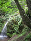
Name: Buck Gulch Waterfall
taken 2011-03-13: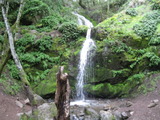 taken 2012-03-20:
Photos on other sites:
http://www.flickr.com/photos/7888710@N04/6838895574/in/set-72157624454553084
Videos:
Also known as Fairway Waterfall or Arroyo de San Jose First Fall
Beauty: 9
Duration: 45 days after a significant rainfall
Height 37 feet
Biggest vertical drop 12 feet
Number of drops 2
Terrain: unofficial trail, frequently used
private land, no access problems
For more info, see waterfallswest.com
http://www.waterfallswest.com/waterfall.php?id=554
Last visited 2016-03-23
id: bigrock.73 - waterfall at (38.06232, -122.59209):
Name: Arroyo de San Jose Second Fall
taken 2011-03-13: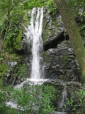
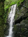
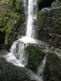
Video:
Back in 2011 the landowner didn't seem to restrict access, but when I tried to visit this in 2016, I was stopped at the lower falls by a fence and an 'end of public trail' sign.
Beauty: 8.5
Duration: 45 days after a significant rainfall
Height 23 feet
Biggest vertical drop 16 feet
Terrain: unofficial trail, some difficulties
private land, public clearly not welcome
For more info, see waterfallswest.com
http://www.waterfallswest.com/waterfall.php?id=554
Last visited 2011-03-13
id: bigrock.74 - waterfall at (38.06231, -122.59240):
Name: Arroyo de San Jose Third Fall
taken 2011-03-13: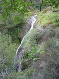
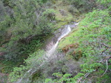
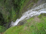
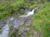
Video: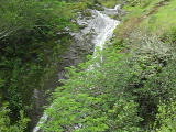
No longer publicly accessible
Beauty: 9
Duration: 45 days after a significant rainfall
Height 35 feet
Biggest vertical drop 3 feet
Terrain: unofficial trail, some difficulties
private land, public clearly not welcome
For more info, see waterfallswest.com
http://www.waterfallswest.com/waterfall.php?id=554
Last visited 2011-03-13
id: bigrock.75 - waterfall at (38.06183, -122.59325):
Name: Arroyo de San Jose Fourth Fall
taken 2011-03-13: taken 2012-03-20:
some cascades at the top that aren't visible from below taken 2011-03-13: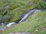
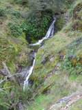
seen from a distant ridge: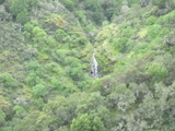
Video: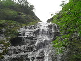
No longer publicly accessible, but it should still be possible to get a good view of it from the ridge 1/3 mile to the northeast, where there's a fire road on public land.
Beauty: 9
Duration: 40 days after a significant rainfall
Height 72 feet (broadly defined)
Height 55 feet
Biggest vertical drop 6 feet
Terrain: unofficial trail, some difficulties
private land, public clearly not welcome
For more info, see waterfallswest.com
http://www.waterfallswest.com/waterfall.php?id=554
Last visited 2011-03-13
id: bigrock.76 - waterfall at (38.06074, -122.59458):
Name: Arroyo de San Jose Fifth Fall
taken 2010-04-16: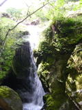 taken 2011-03-13:
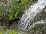
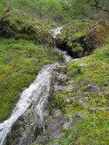
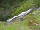
No longer publicly accessible
Beauty: 6
Beauty: 8 (including beauty of the hike to the falls)
Duration: 40 days after a significant rainfall
Height 26 feet (broadly defined)
Height 18 feet
Biggest vertical drop 12 feet
Number of drops 1
Terrain: unofficial trail, some difficulties
private land, public clearly not welcome
Last visited 2010-04-16
id: bigrock.1
-
Unnamed creek ending near Pensacola Court
- This waterfall has been moved to here.
- This waterfall has been moved to here.
- This waterfall has been moved to here.
- This waterfall has been moved to here.
- This waterfall has been moved to here.
- This waterfall has been moved to here.
- This waterfall has been moved to here.
- This waterfall has been moved to here.
- This waterfall has been moved to here.
- This waterfall has been moved to here.
- This waterfall has been moved to here.
- This waterfall has been moved to here.
- This waterfall has been moved to here.
- This waterfall has been moved to here.
- This waterfall has been moved to here.
-
Unnamed creek near Carnoustie Drive
-
Pacheco Creek
- This waterfall has been moved to here.
- This waterfall has been moved to here.
- This waterfall has been moved to here.
- This waterfall has been moved to here.
- This waterfall has been moved to here.
- This waterfall has been moved to here.
- This waterfall has been moved to here.
- This waterfall has been moved to here.
Little Pacheco Creek
-
Unnamed creek side creek in Blackstone Canyon 0.6 miles west of the trailhead on the north side
- This waterfall has been moved to here.
- This waterfall has been moved to here.
- This waterfall has been moved to here.
- This waterfall has been moved to here.
Unnamed creek side creek in Blackstone Canyon 1 mile west of the trailhead on the north side
Unnamed creek about 0.1 miles east of Queenstone Drive
Unnamed creek descending to Queenstone Drive
Unnamed creek north of Juniperberry Drive
-
Unnamed creek about 0.1 miles east of Mt Lassen Drive
- This waterfall has been moved to here.
- This waterfall has been moved to here.
- This waterfall has been moved to here.
- This waterfall has been moved to here.
- This waterfall has been moved to here.
- This waterfall has been moved to here.
- This waterfall has been moved to here.
- This waterfall has been moved to here.
- This waterfall has been moved to here.
- This waterfall has been moved to here.
- This waterfall has been moved to here.
- This waterfall has been moved to here.
- This waterfall has been moved to here.
- This waterfall has been moved to here.
- This waterfall has been moved to here.
- This waterfall has been moved to here.
- This waterfall has been moved to here.
- This waterfall has been moved to here.
- This waterfall has been moved to here.
- This waterfall has been moved to here.
- This waterfall has been moved to here.
- This waterfall has been moved to here.
- This waterfall has been moved to here.
- This waterfall has been moved to here.
- This waterfall has been moved to here.
- This waterfall has been moved to here.
- This waterfall has been moved to here.
- This waterfall has been moved to here.
- This waterfall has been moved to here.
- This waterfall has been moved to here.
-
Unnamed creek heading south toward Rubicon Creek
- This waterfall has been moved to here.
- This waterfall has been moved to here.
- This waterfall has been moved to here.
- This waterfall has been moved to here.
- This waterfall has been moved to here.
- This waterfall has been moved to here.
- This waterfall has been moved to here.
- This waterfall has been moved to here.
- This waterfall has been moved to here.
- This waterfall has been moved to here.
- This waterfall has been moved to here.
- This waterfall has been moved to here.
- This waterfall has been moved to here.
- This waterfall has been moved to here.
- This waterfall has been moved to here.
- This waterfall has been moved to here.
- This waterfall has been moved to here.
- This waterfall has been moved to here.
- This waterfall has been moved to here.
- This waterfall has been moved to here.
- This waterfall has been moved to here.
- This waterfall has been moved to here.
- This waterfall has been moved to here.
- This waterfall has been moved to here.
- This waterfall has been moved to here.
- This waterfall has been moved to here.
- This waterfall has been moved to here.
- This waterfall has been moved to here.
- This waterfall has been moved to here.
- This waterfall has been moved to here.
- This waterfall has been moved to here.
- This waterfall has been moved to here.
- This waterfall has been moved to here.
- This waterfall has been moved to here.
- This waterfall has been moved to here.
- This waterfall has been moved to here.
- This waterfall has been moved to here.
- This waterfall has been moved to here.
- This waterfall has been moved to here.
- This waterfall has been moved to here.
- This waterfall has been moved to here.
- This waterfall has been moved to here.
- This waterfall has been moved to here.
- This waterfall has been moved to here.
- This waterfall has been moved to here.
- This waterfall has been moved to here.
- This waterfall has been moved to here.
- This waterfall has been moved to here.
- This waterfall has been moved to here.
- This waterfall has been moved to here.
- This waterfall has been moved to here.
- This waterfall has been moved to here.
- This waterfall has been moved to here.
- This waterfall has been moved to here.
Unnamed creek flowing south, a bit east of the Grady Fire Rd
Unnamed creek just west of the Grady Fire Rd
Unnamed creek west of Grady Fire Rd
Unnamed creek starting on the southwest side of the Big Rock Ridge summit, flowing southwest