- waterfall at (37.07828, -122.26475):
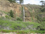
on left: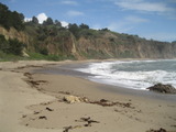
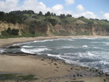
Video:
It's better to go at low tide, when you can walk up Greyhound Rock.
Beauty: 9
Duration: 2.5 days after a significant rainfall
Height 65 feet give or take 5 feet
Biggest vertical drop 65 feet
Number of drops 1
Terrain: beach
route: Take the mostly paved path to the beach at Greyhound Rock County Park. The falls will be visible to the south from the beach a few feet away from the path.
Last visited 2011-03-27
id: sc_coast.12 - waterfall at (37.07801, -122.26425):
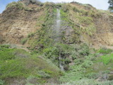
on left: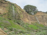
Video: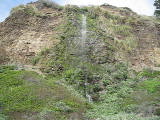
It's better to go at low tide, when you can walk up Greyhound Rock.
Beauty: 8.5
Duration: 1 days after a significant rainfall
Height 69 feet give or take 6 feet
Biggest vertical drop 40 feet
Number of drops 2
Terrain: beach
route: Take the mostly paved path to the beach at Greyhound Rock County Park. The falls will be visible to the south from the beach a few feet away from the path.
Last visited 2011-03-27
id: sc_coast.13 - waterfall at (37.07757, -122.26391):
on right: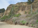
Video:
It's better to go at low tide, when you can walk up Greyhound Rock. In the video, this is the second waterfall shown.
Beauty: 8.5
Duration: 1.5 days after a significant rainfall
Height 66 feet give or take 6 feet
Biggest vertical drop 35 feet
Terrain: beach
route: Take the mostly paved path to the beach at Greyhound Rock County Park. The falls will be visible to the south from the beach a few feet away from the path.
Last visited 2011-03-27
id: sc_coast.14 - waterfall at (37.07692, -122.26326):
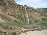
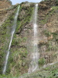
Video: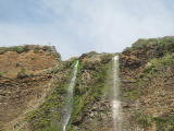
This seems to be a single stream that splits near the cliff, so I'm treating them as a single waterfall.
Beauty: 9
Duration: 2 days after a significant rainfall
Height 76 feet give or take 4 feet
Biggest vertical drop 25 feet
Terrain: beach
route: Take the mostly paved path to the beach at Greyhound Rock County Park. The falls will be visible to the south from the beach a few feet away from the path.
Last visited 2011-03-27
id: sc_coast.15 - waterfall at (37.07480, -122.26251):

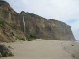
Videos: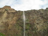
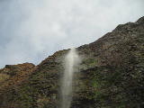
You should be able to see this waterfall from near Greyhound Rock at high tide, but you will want a moderately low tide to get a close view.
Beauty: 10
Duration: 2.5 days after a significant rainfall
Height 100 feet give or take 8 feet
Biggest vertical drop 100 feet
Number of drops 1
Terrain: beach at low tide
route: Take the mostly paved path to the beach at Greyhound Rock County Park. The falls will be visible to the south from the beach a few feet away from the path.
Last visited 2011-03-27
id: sc_coast.16
- waterfall at (37.10710, -122.29285):
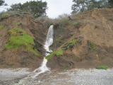
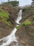
Just a few feet south of the county boundary.
Beauty: 5.5
Duration: 18 days after a significant rainfall
Height 14 feet
Biggest vertical drop 14 feet
Number of drops 1
Terrain: beach at low tide
route: See the Elliot Creek waterfall.
Last visited 2011-03-25
id: sc_coast.1 - waterfall at (37.10641, -122.29118):
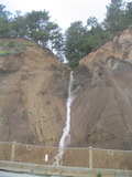
Probably a natural waterfall that was altered a lot by the road construction.
Beauty: 5.5
Duration: 5 days after a significant rainfall
Height 72 feet (broadly defined)
Height 30 feet
Biggest vertical drop 30 feet
Number of drops 1
Terrain: road
route: Take route 1 south, park at the first turnout on the right after the Santa Cruz county line.
Last visited 2011-03-25
id: sc_coast.3 - waterfall at (37.10467, -122.28750):
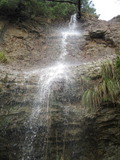

on the left: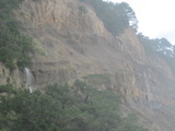
Probably a natural waterfall that was altered a lot by the road construction.
Beauty: 6.5
Duration: 5 days after a significant rainfall
Height 80 feet
Biggest vertical drop 30 feet
Number of drops 3
Terrain: road
route: Take route 1 south, park at the second turnout on the right after the Santa Cruz county line.
Last visited 2011-03-25
id: sc_coast.4 - waterfall at (37.10374, -122.28727):

Probably a natural waterfall that was altered a lot by the road construction.
Beauty: 6
Duration: 1 days after a significant rainfall
Height 200 feet (broadly defined)
Height 130 feet
Biggest vertical drop 80 feet
Number of drops 2
Terrain: road
route: Take route 1 south, park at the second turnout on the right after the Santa Cruz county line.
Last visited 2011-03-25
id: sc_coast.5

Probably a natural waterfall that was altered a lot by the road construction.
Beauty: 5.5
Duration: 1 days after a significant rainfall
Height 60 feet (broadly defined)
Height 20 feet
Biggest vertical drop 8 feet
Terrain: road
Last visited 2011-03-25
id: sc_coast.6
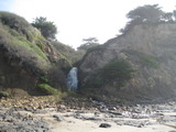
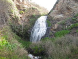

Video:

Beauty: 7.5
Duration: 20 days after a significant rainfall
Height 18 feet
Biggest vertical drop 7 feet
Number of drops 1
Terrain: beach at low tide
route: Go north from Greyhound Rock County Park or south from Waddell beach, avoid high tide.
Last visited 2011-03-27
id: sc_coast.7
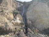
Beauty: 6
Duration: 2.5 days after a significant rainfall
Height 35 feet (broadly defined)
Height 30 feet
Biggest vertical drop 3 feet
Terrain: beach at low tide
route: Go north from Greyhound Rock County Park or south from Waddell beach, avoid high tide.
Last visited 2011-03-27
id: sc_coast.8
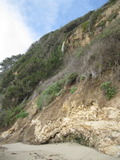

Video:
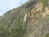
Beauty: 5.5
Duration: 7 days after a significant rainfall
Height 40 feet
Biggest vertical drop 15 feet
Number of drops 2
Terrain: beach at low tide
route: Go north from Greyhound Rock County Park or south from Waddell beach, avoid high tide.
Last visited 2011-03-27
id: sc_coast.9
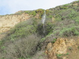
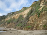
Beauty: 6
Duration: 1.5 days after a significant rainfall
Height 75 feet
Biggest vertical drop 8 feet
Terrain: beach at low tide
route: Go north from Greyhound Rock County Park or south from Waddell beach, avoid high tide.
Last visited 2011-03-25
id: sc_coast.10
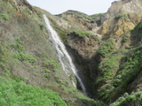
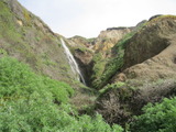
Beauty: 7
Duration: 5 days after a significant rainfall
Height 40 feet
Biggest vertical drop 3 feet
Number of drops 1
Terrain: beach at low tide
route: Go north from Greyhound Rock County Park, avoid high tide.
Last visited 2011-03-25
id: sc_coast.11
view from Greyhound Rock:

this is all I could see at the top:
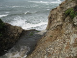
It is probably between 100 and 150 feet high. You can walk to the top of this waterfall from the road near the 33.90 mile marker, but all you'll see of it is a stream disappearing off a cliff. While looking at my pictures afterward, I discovered that I could see this waterfall in a picture taken from the top of Greyhound Rock (3/4 mile away). I suspect there's a better view of from a cliff top only 1/4 mile to the north.
Duration: 4 days after a significant rainfall
Height 100 feet
Biggest vertical drop 100 feet
unclear whether this is on public or private land
Last visited 2011-03-27
id: sc_coast.19
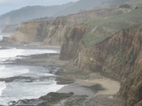
on the left:
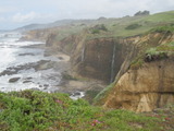



mystery rope leading down the 60+ foot cliff:
Videos:
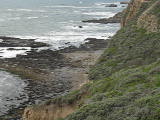
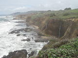
There's a crude trail from mile marker 33.64 on route leading past the top of this, but not much of a view of the falls. The trail ends at a sign saying AMBS BEACH, and a rope disappearing off the cliff. I don't know whether any sane person has gone down the rope.
Beauty: 8.5
Duration: 4 days after a significant rainfall
Height 56 feet give or take 6 feet
Biggest vertical drop 56 feet
Terrain: unofficial trail, some difficulties
unclear whether this is on public or private land
route: Vista point at 37.06071,-122.25304 is a short walk from the 33.45 mile marker on route 1.
Last visited 2012-03-19
id: sc_coast.20
gps coordinates estimated from map, reliability unknown
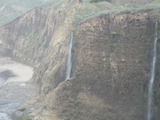
left of center:
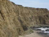
in the middle:

Video:

Beauty: 9
Duration: 2 days after a significant rainfall
Height 82 feet
Biggest vertical drop 82 feet
Number of drops 1
Terrain: unofficial trail, some difficulties
unclear whether this is on public or private land
route: Vista point at 37.06071,-122.25304 is a short walk from the 33.45 mile marker on route 1. A less impressive view is a available from a trail starting at the 33.64 mile marker.
Last visited 2012-03-19
id: sc_coast.21
gps coordinates estimated from map, reliability unknown
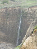
on the right:

on the right:

Video:

Beauty: 9.5
Duration: 2 days after a significant rainfall
Height 106 feet give or take 8 feet
Biggest vertical drop 106 feet
Number of drops 1
Terrain: unofficial trail, some difficulties
unclear whether this is on public or private land
route: Vista point at 37.06071,-122.25304 is a short walk from the 33.45 mile marker on route 1
Last visited 2011-03-27
id: sc_coast.22
parts of the top 5 feet of the waterfall in the middle:

It didn't seem safe to get close enough to the cliff to see more than a hint of the top.
Duration: 6 days after a significant rainfall
Height 96 feet give or take 6 feet
Terrain: vague hints of a trail
unclear whether this is on public or private land
route: A short walk from just north of the 33.12 mile marker on route 1
Last visited 2011-03-27
id: sc_coast.23
gps coordinates estimated from map, reliability unknown
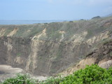
Beauty: 7
Duration: 1.5 days after a significant rainfall
Height 97 feet give or take 10 feet
Terrain: vague hints of a trail
unclear whether this is on public or private land
route: A short walk from just north of the 33.12 mile marker on route 1
Last visited 2011-03-27
id: sc_coast.24
look closely in the center:

standing by the top of the falls, creek visible at bottom of photo:
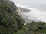
I apparently walked past the bottom of this on 2012-03-19 without noticing it - presumably it was dry.
Beauty: 5
Duration: 1 days after a significant rainfall
Height 140 feet
Terrain: vague hints of a trail
unclear whether this is on public or private land
route: The top is a short walk from just north of the 33.12 mile marker on route 1. The bottom can sometimes be reached from Scott Creek at low tide (see the notes for waterfall sc_coast.29.
Last visited 2011-03-27
id: sc_coast.25
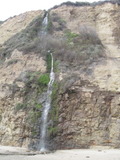
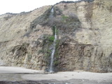
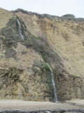
look closely to the left of the more conspicuous waterfall:
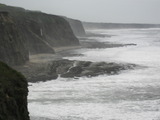
Video:

Beauty: 8
Duration: 5 days after a significant rainfall
Height 118 feet give or take 6 feet
Biggest vertical drop 30 feet
Terrain: beach at low tide, partial view from a cliff-top vista point
unclear whether this is on public or private land
route: The vista point (37.05828, -122.25050) is a short walk from just north of the 33.12 mile marker on route 1. The bottom can sometimes be reached from Scott Creek at low tide (see the notes for waterfall sc_coast.29
Last visited 2012-03-19
id: sc_coast.26
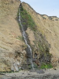
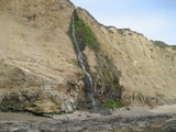


the larger waterfall:

Videos:
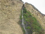
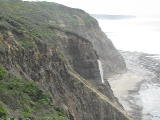
Beauty: 9
Duration: 6 days after a significant rainfall
Height 110 feet
Biggest vertical drop 35 feet
Terrain: beach at low tide, partial view from a cliff-top vista point
unclear whether this is on public or private land
route: The vista points (37.05828, -122.25050 and 37.05452, -122.24505) are a short walk from just north of the 33.12 mile marker and from the 32.87 mile marker on route 1. The bottom can sometimes be reached from Scott Creek at low tide (see the notes for waterfall sc_coast.29
Last visited 2012-03-19
id: sc_coast.27
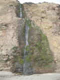
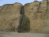
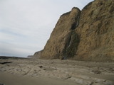
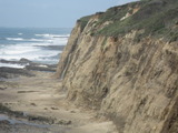
Videos:
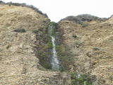
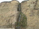
Can be seen from Scott Creek Beach.
Beauty: 9
Duration: 5 days after a significant rainfall
Height 98 feet give or take 6 feet
Biggest vertical drop 25 feet
Terrain: beach at low tide
route: At a moderately low tide it can be reached from there. When I visited it in March 2011, that would have required wading Scott Creek on the beach, about knee deep water at that flow. In March 2012, the creek headed more directly to the ocean and left some sandy beach on its north side so that there was no need to wade across the creek. I expect that in the dry season, the creek normally takes the latter course, but after heavy flows it carves out the sand up to the cliff on the north side, so that wading becomes necessary under the conditions when the falls are at their best. At lower tides (preferably a minus tide) and not too heavy surf, it is possible to go more than a mile farther up the beach to see another 3-7 waterfalls. That involves one short stretch of either wading or traversing a rock ledge, followed by mostly sandy conditions.
Last visited 2012-03-19
id: sc_coast.29
gps coordinates estimated from map, reliability unknown
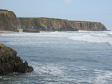
The land above the waterfall is farmland. There is probably a way to reach a better view without anyone complaining.
Beauty: 8.5
Duration: 4 days after a significant rainfall
Height 40 feet
Biggest vertical drop 30 feet
private land, minimal access restrictions
route: The point from which the photo was taken can be reached by following the shoreline south from the Davenport Landing Rd beach.
Last visited 2011-03-27
id: sc_coast.30
gps coordinates estimated from map, reliability unknown
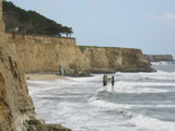
I'm guessing this is a natural spring coming out of the rock, but there's industrial activity in the area which might be responsible.
Beauty: 7.5
Duration: 30 days after a significant rainfall
Height 18 feet
Biggest vertical drop 18 feet
Number of drops 1
private land, minimal access restrictions
Last visited 2011-03-27
id: sc_coast.31
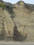
Beauty: 7
Duration: 1 days after a significant rainfall
Height 103 feet
Terrain: beach at low tide
route: The bottom can sometimes be reached from Scott Creek at low tide (see the notes for waterfall sc_coast.29
Last visited 2012-03-19
id: sc_coast.32

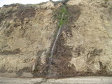
Beauty: 8
Duration: 4 days after a significant rainfall
Height 120 feet give or take 6 feet
Terrain: beach at low tide
route: The bottom can sometimes be reached from Scott Creek at low tide (see the notes for waterfall sc_coast.29
Last visited 2012-03-19
id: sc_coast.33
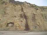

Beauty: 7
Duration: 1 days after a significant rainfall
Height 94 feet
Terrain: beach at low tide
route: The bottom can sometimes be reached from Scott Creek at low tide (see the notes for waterfall sc_coast.29
Last visited 2012-03-19
id: sc_coast.34