Name: The Secret Waterfall
gps coordinates estimated from map, reliability unknown
taken 2012-03-14:
 taken 2011-02-16:
 taken 2011-03-23:
Video:
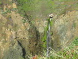
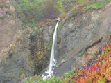
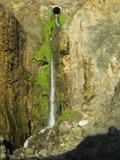
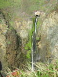
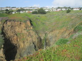
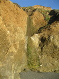
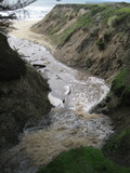
Your perception of this waterfall's beauty will depend very much on whether you focus on the vertical part or whether you look at the pipe at the top and the debris at the bottom. You can also see it in a YouTube video
Beauty: 8
Duration: 21 days after a significant rainfall
Height 58 feet give or take 8 feet
Biggest vertical drop 45 feet
Number of drops 1
Terrain: beach at low tide
unclear whether this is on public or private land
route: I got there by following the beach at a fairly low tide from an access point on Palmetto Ave just south of the San Francisco RV Resort. Erosion has made that a poor way to reach the beach. There is an access from Esplanade Ave near W Beaumont Blvd that people were using when I was there in November 2011 in spite of a sign warning people not to use it (some major reconstruction that was done in 2011 looked mostly complete). Go north a half mile from there, and follow a creek up a small canyon.
It is also just barely possible to see it from above. From Palmetto Ave, downhill from Westline Drive and about where the pavement changes texture, find one of the small paths that head toward the ocean. After about 100 feet, turn right and go until you near the edge of the canyon. There are a few places where it's currently possible to see the waterfall without getting dangerously close to the edge.
Last visited 2012-03-14
id: sm_coast.1
gps coordinates estimated from map, reliability unknown
taken 2011-02-16:
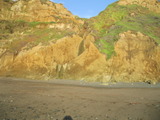
Two visible drops (14 feet and 8 feet), possibly more upstream
Beauty: 4
Beauty: 6 (including beauty of the hike to the falls)
Duration: 2 days after a significant rainfall
Height 22 feet
Biggest vertical drop 1 feet
Number of drops 2
Terrain: beach at low tide
route: Just north of the creek coming from The Secret Waterfall
Last visited 2011-02-16
id: sm_coast.2
at (37.4044, -122.4265):
Name: Purisima Creek Waterfall
gps coordinates estimated from map, reliability unknown
taken 2012-03-19:
 taken 2011-11-20:
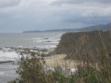
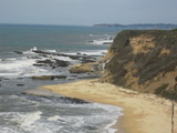
A trail to a vista point was opened in the second half of 2011, but I can't see the falls from closer than about 750 yards. The vista point appears to be weelchair accessible.
Beauty: 7
Duration: 365 days after a significant rainfall
Height 25 feet
Terrain: well-maintained trail
route: There's a trailhead on route 1 about 0.6 miles south of where route 1 crosses the creek (about 5 miles south of route 92, near Bob's Pumpkin Farm). The trail can also be reached from the Cowell Ranch Beach trailhead 2 miles to the north.
Last visited 2012-03-19
id: sm_coast.3
taken 2011-02-25:

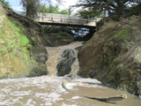
view from bridge:
probably not steep enough to look very waterfall-like except after a heavy rain
Beauty: 4
Duration: 365 days after a significant rainfall
Height 11 feet (broadly defined)
Height 7 feet
Biggest vertical drop 1 feet
Number of drops 2
route: Park in the public lot on Miramontes Point Rd in Half Moon Bay just before reaching the Ritz-Carlton and follow the paved path to the beach
Last visited 2011-02-25
id: sm_coast.4
taken 2011-02-25:
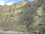

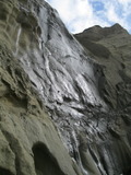
Beauty: 7
Beauty: 8 (including beauty of the hike to the falls)
Duration: 1 days after a significant rainfall
Height 60 feet
Biggest vertical drop 30 feet
Number of drops 1
Terrain: beach at low tide
route: from San Gregorio beach at a tide of +3 or lower, or from Pomponio beach at a tide of +1.5 or lower
Last visited 2011-02-25
id: sm_coast.5
taken 2011-02-25:
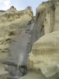
the cave has a small keyhole leading to the next waterfall:
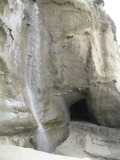
Beauty: 8
Duration: 2 days after a significant rainfall
Height 28 feet (broadly defined)
Height 26 feet
Biggest vertical drop 20 feet
Number of drops 1
Terrain: beach at low tide
route: from San Gregorio beach at a tide of +2 or lower, or from Pomponio beach at a tide of +1.5 or lower
Last visited 2011-02-25
id: sm_coast.6
taken 2011-02-25:
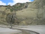
prior waterfall visible on the left:
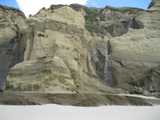
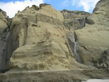
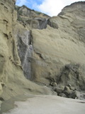
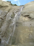
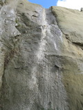
the lower two drops:
Beauty: 9
Duration: 2 days after a significant rainfall
Height 50 feet
Biggest vertical drop 20 feet
Number of drops 3
Terrain: beach at low tide
route: from San Gregorio beach at a tide of +2 or lower, or from Pomponio beach at a tide of +1.5 or lower
Last visited 2011-02-25
id: sm_coast.7
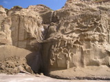
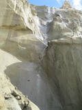
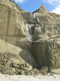
taken 2011-02-25:
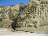
Beauty: 8
Duration: 1 days after a significant rainfall
Height 75 feet (broadly defined)
Height 70 feet
Biggest vertical drop 18 feet
Number of drops 3
Terrain: beach at low tide
route: from San Gregorio beach at a tide of +2 or lower, or from Pomponio beach at a tide of +1.5 or lower
Last visited 2011-02-25
id: sm_coast.8
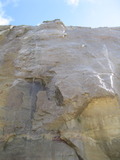
taken 2011-02-25:

Beauty: 7
Beauty: 8 (including beauty of the hike to the falls)
Duration: 0.5 days after a significant rainfall
Height 70 feet
Biggest vertical drop 45 feet
Number of drops 1
Terrain: beach at low tide
route: from Pescadero beach at a tide of +1 or lower, or from Pomponio beach at a minus tide (the latter route may require scrambling over a few rocks)
Last visited 2011-02-25
id: sm_coast.9
taken 2011-02-25:
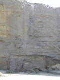
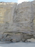
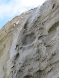
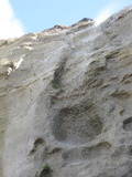
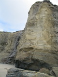
Beauty: 7
Beauty: 8 (including beauty of the hike to the falls)
Duration: 0.5 days after a significant rainfall
Height 55 feet (broadly defined)
Height 50 feet
Biggest vertical drop 15 feet
Number of drops 1
Terrain: beach at low tide
route: from Pescadero beach at a tide of +1 or lower, or from Pomponio beach at a minus tide (the latter route may require scrambling over a few rocks)
Last visited 2011-02-25
id: sm_coast.10
taken 2011-02-25:
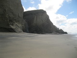
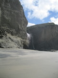

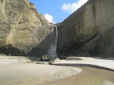
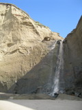
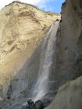
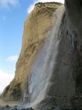
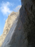
Beauty: 9
Duration: 7 days after a significant rainfall
Height 36 feet (broadly defined)
Height 32 feet
Biggest vertical drop 30 feet
Number of drops 1
Terrain: beach at low tide
route: from Pescadero beach at a tide of +1 or lower, or from Pomponio beach at a minus tide (the latter route may require scrambling over a few rocks)
Last visited 2011-02-25
id: sm_coast.11
taken 2011-02-25:

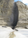
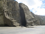


Beauty: 7
Beauty: 8 (including beauty of the hike to the falls)
Duration: 1 days after a significant rainfall
Height 75 feet (broadly defined)
Height 70 feet
Biggest vertical drop 50 feet
Terrain: beach at low tide
route: from Pescadero beach at a tide of +1 or lower, of from Pomponio beach at a minus tide (the latter route may require scrambling over a few rocks)
Last visited 2011-02-25
id: sm_coast.12
-
New Years Creek
- waterfall at (37.11809, -122.31255):
taken 2011-03-25: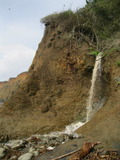
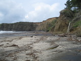
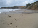
Beauty: 5
Beauty: 6 (including beauty of the hike to the falls)
Duration: 7 days after a significant rainfall
Height 9 feet
Biggest vertical drop 9 feet
Number of drops 1
Terrain: beach
route: I got there via an abandoned paved road (listed on Google Maps as New Years Creek Rd) a bit south of the main Año Nuevo entrance. It should be just as easy to use the main entrance and walk south. Once on the beach, walk west.
Last visited 2011-03-25
id: sm_coast.13
- waterfall at (37.11314, -122.30112):
taken 2011-03-25: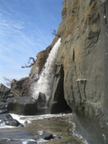
Video:
I got there when the tide was about halfway in and rising. That meant my visit was quite hasty, and I paid more attention to dodging the waves than getting a good photo.
Beauty: 7.5
Duration: 45 days after a significant rainfall
Height 31 feet give or take 5 feet
Biggest vertical drop 30 feet
Number of drops 1
Terrain: beach at low tide
route: I got there by following the shore from near Waddell Beach - see the description of the Elliot Creek waterfall.
Last visited 2011-03-25
id: sm_coast.14
- waterfall at (37.11088, -122.29722):
taken 2011-03-25: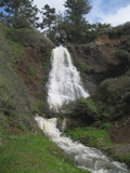
Videos:
Beauty: 8
Duration: 90 days after a significant rainfall
Height 67 feet give or take 4 feet
Biggest vertical drop 40 feet
Terrain: beach at low tide
private land, minimal access restrictions
route: I got there by following the shore from near Waddell Beach. At the 2nd large turnout on route 1 south of the boundary between San Mateo and Santa Cruz counties, on the coast side (near 37.10374, -122.28727) I found some crude steps down to the beach. There are some annoying boulder to climb over as you start northwest, but after that the terrain is fairly easy. It's easier at low tide, but should be doable at most tides. It is reachable at low tide from the Año Nuevo side - mostly beach, but expect to get your feet wet crossing Año Nuevo Creek. At the falls, I met someone who said the easy access was via a dirt road just north of the falls. It's private property, and the ranch across the road (on Finney Creek Rd?) wants people to ask them for permission before using it (it sounds like they grant permission to anyone who asks).
Last visited 2011-03-25
id: sm_coast.15