Little known waterfalls around Solano County
Wild Horse Creek
- waterfall at (38.27332, -122.17598):
Name: Upper Green Valley Falls
Poor gps reception - coordinates may be unreliable
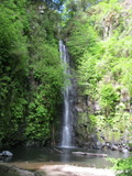
Videos:
On land owned by the city of Vallejo, used for its water supply. Access has been allowed three times a year on hikes arranged by Doris Klein and the Bay Area Ridge Trail Council. There is some hope that it may become a more public part of the Ridge Trail, but concerns over the water supply are likely to postpone that for quite a while. It apparently flows year round due to releases from Lake Frey. See also a photo from the 1920s
Beauty: 9.5
Duration: 365 days after a significant rainfall
Height 72 feet give or take 4 feet
Biggest vertical drop 35 feet
Number of drops 1
Terrain: well-maintained trail
on government owned land, access restricted
Last visited 2011-05-11
id: solano.1
- waterfall at (38.27521, -122.17777):
Name: Lower Green Valley Falls
Poor gps reception - coordinates may be unreliable
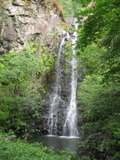
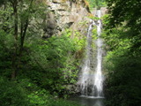
Video:
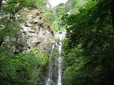
Can be reached only on the hikes described under Upper Green Valley Falls. There's a 40 foot spillway on a dam that looks from below like the upper half of the falls, but it's 100 feet upstream and not natural, so I don't consider it part of the falls.
Beauty: 9
Duration: 365 days after a significant rainfall
Height 55 feet give or take 5 feet
Biggest vertical drop 30 feet
Number of drops 1
Terrain: unofficial trail, some difficulties
on government owned land, access restricted
Last visited 2011-05-11
id: solano.2
back to main waterfalls page


