-
Unnamed creek flowing south from the summit of Loma Alta
- waterfall at (38.01227, -122.61114):
Name: Fairfax Falls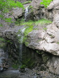
an 11 foot drop that could be considered the upper part of the falls: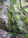
Videos:
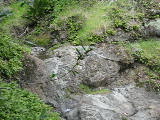
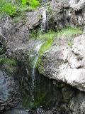
Also known as Loma Alta Falls. It's an easy hike to see parts of it from the fire road. The short path to the base (where most people go to see all of the main drop) is somewhat harder, with much poison oak. You can also see it from the sides, but that involves steep terrain without much of a trail.
Beauty: 7.5
Duration: 20 days after a significant rainfall
Height 35 feet (broadly defined)
Height 20 feet
Biggest vertical drop 7 feet
Terrain: well-maintained fire road
For more info, see:
http://www.waterfallswest.com/waterfall.php?id=249
http://www.bahiker.com/northbayhikes/lomaalta.html
route: Drive west on Sir Francis Drake about 2 1/2 miles past downtown Fairfax, and park at one of the turnouts near the top of the big hill. Follow the fire road (Old White Hill Grade) a half mile. The falls will be on the left.
Last visited 2011-04-14
id: lomaalta.4



the gps coordinates are for a nearby place on the road; gps reception is poor at the falls
Beauty: 7.5
Duration: 20 days after a significant rainfall
Height 28 feet
Biggest vertical drop 4 feet
Terrain: road
private land, access discouraged
route: Take Lucas Valley Rd west to mile marker 5.07 (about 0.3 mile before the Big Rock. There are turnouts on each side of the road for very temporary stops. I don't recommend trying to get closer to the falls. Among the obstacles are random pieces of old barbed wire.
Last visited 2011-03-14
id: lomaalta.1
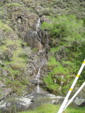
from the middle of the next waterfall:
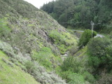
from across the road:
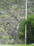
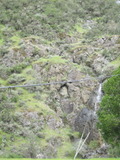
Video:
to see the upper part, walk uphill a short way on the other side of the road
Beauty: 7.5
Duration: 8 days after a significant rainfall
Height 65 feet (broadly defined)
Height 28 feet
Biggest vertical drop 6 feet
Terrain: road
unclear whether this is on public or private land
route: Take Lucas Valley Rd about 1 mile west of the Big Rock. Park in a large dirt area along the road where the road takes a big left turn.
Last visited 2011-03-16
id: lomaalta.2
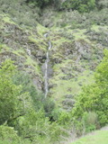
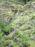
the middle part:
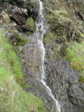
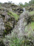
the lower part, not visible in other pictures:

Video:
Beauty: 7.5
Duration: 5 days after a significant rainfall
Height 50 feet
Biggest vertical drop 7 feet
Number of drops 4
Terrain: road
unclear whether this is on public or private land
route: Take Lucas Valley Rd about 1 mile west of the Big Rock. Park in a large dirt area along the road where the road takes a big left turn. If you want to get closer, go downstream before leaving the road. Crossing the main creek can be tricky.
Last visited 2011-03-16
id: lomaalta.3