- waterfall at (37.53394, -121.71618):
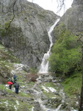
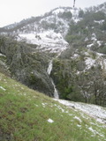
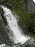
Name: Murietta Falls
Videos:
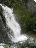
I hiked through a few 6 inch snow drifts to see it at the heavy flow shown. It can also be a very nice hike in mid-May of a very wet spring - even though the falls will just be a trickle, the ridges can be covered with flowers, and some uncommon Lindley Blazing-star (Mentzelia lindleyi) bloom right next to the falls.
Beauty: 9
Beauty: 10 (including beauty of the hike to the falls)
Duration: 40 days after a significant rainfall
Height 80 feet give or take 2 feet
Biggest vertical drop 25 feet
Terrain: unofficial trail, frequently used
For more info, see California Waterfalls, by Ann Marie Brown
Last visited 2011-03-19
id: delvalle.2
- waterfall at (37.576375, -121.708585):
It's close to the end of the Deer Jaw trail. It's easy to see where it is from the trail, but it's rather hard to get an actual view of it.
Beauty: 4.5
Duration: 7 days after a significant rainfall
Height 10 feet
Biggest vertical drop 1 feet
Number of drops 2
Terrain: streambed with some difficulties
Last visited 2016-04-10
id: delvalle.3
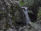
It's on private property, and isn't worth going out of your way to visit.
Beauty: 3
Height 7 feet
private land, access discouraged
route: Follow a ridge in the southeast corner of the recreation area. Just before the ridge curves to the northeast, the you can choose to take a dirt road along the ridgetop and head south once you reach the valley to the east of the ridge, or follow a dirt road traversing the south side of the ridge and then head north after crossing the stream.
Last visited 2010-03-07
id: delvalle.1