-
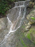
Blackberry Creek
- waterfall at (37.8956, -122.2727):
gps coordinates estimated from map, reliability unknown
Beauty: 4
Height 7 feet
Biggest vertical drop 1 feet
route: Park on Somerset Place, walk uphill and somewhat east almost to San Diego Rd.
Last visited 2011-03-27
id: berkeley.3
-
Wildcat Creek
- waterfall at (37.89752, -122.25126):
Name: Lake Anza Falls
Video:
Probably not natural - the Lake Anza spillway has altered the location of the creek.
Beauty: 5.5
Duration: 365 days after a significant rainfall
Height 23 feet
Biggest vertical drop 8 feet
Terrain: unofficial trail, frequently used
Last visited 2012-04-15
id: berkeley.4
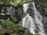
- Waterfall near Tamalpais Path at (37.88775, -122.26004):
taken 2014-02-23: taken 2010-10-16:
Video:
It's on private property, but the owner seems to allow people to use the trails (fairly well maintained).
Beauty: 6
Duration: 365 days after a significant rainfall
Height 33 feet (broadly defined)
Height 25 feet
Biggest vertical drop 4 feet
Terrain: unofficial trail, frequently used
private land, no access problems
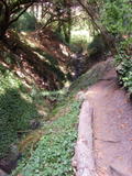
route: One way to find it is take Euclid Ave. Just south of Eunice St, you may find parking by the Rose Garden and Condornices Park. Head northeast through Condornices Park (i.e. stay left), and where you reach the end of the grass you'll see some trails and the north fork of the creek. Head uphill on one of those trails on the right side of the creek, and you should see a curved stairway (Tamalpais Path). Follow it up past a light post, and look carefully on the left for a small gate (3 or 4 feet high) marked Private Property. Go through the gate and follow the trails, staying left at the intersections, until you find the falls.
I think you can also get there from Tamalpais Rd, by continuing straight where it makes a sharp turn, going through what seems to be someone's driveway until you find a path - I'm unsure what property issues are involved.
Last visited 2014-02-23
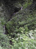
id: berkeley.1 - Waterfall seen from Keith Avenue near Covert Path at (37.88814, -122.257748):

Beauty: 5
Duration: 365 days after a significant rainfall
Height 21 feet
Biggest vertical drop 5 feet
Number of drops 3
Terrain: road
on private land, readily visible from public land
Last visited 2010-05-26
id: berkeley.2

There are reports that there was a waterfall on Strawberry Creek where the stadium now is.
back to main waterfalls page