Little known waterfalls around Alum Rock
Alum Rock Park
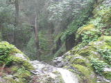
Penitencia Creek
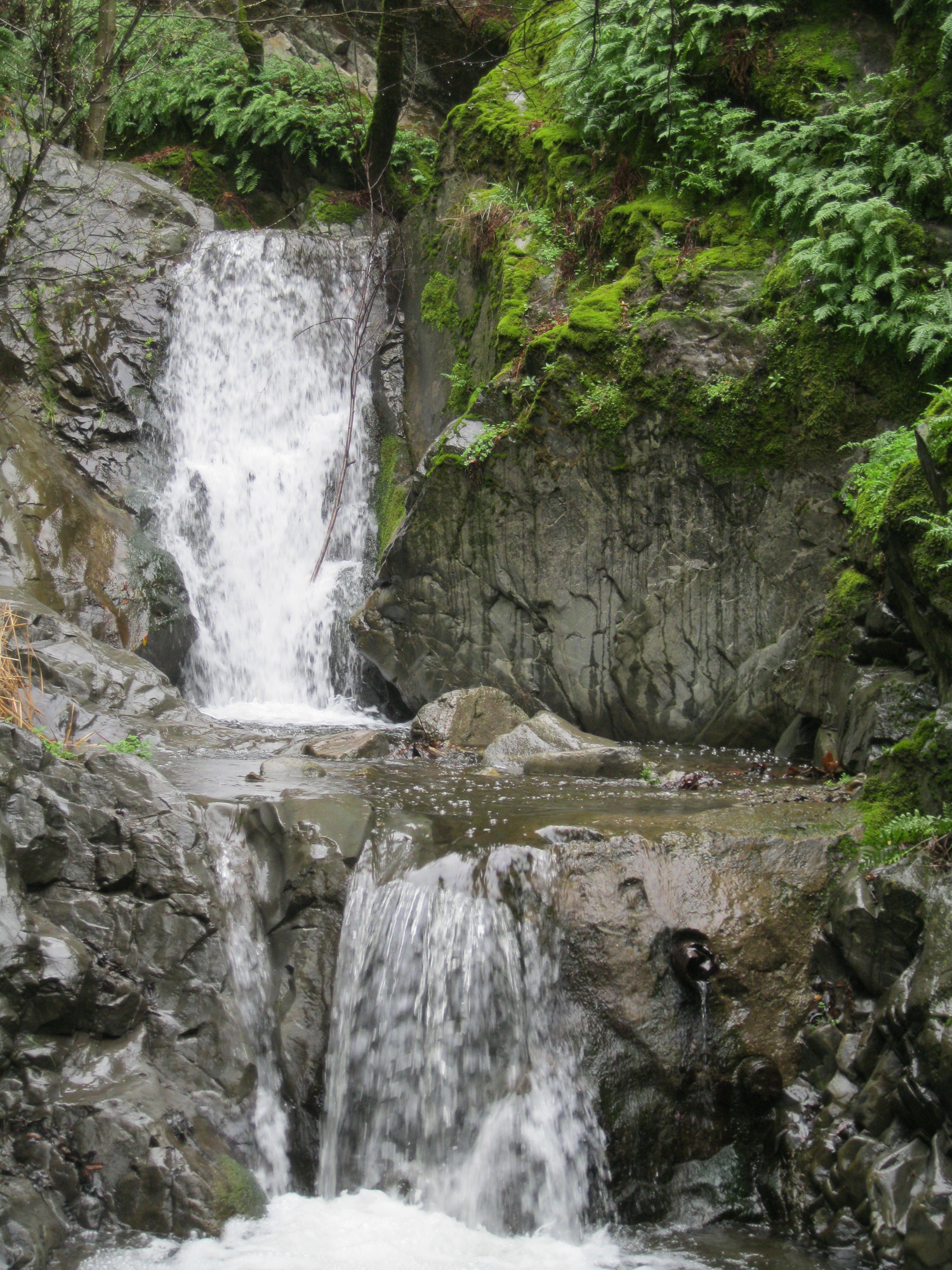
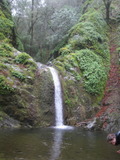
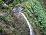
- This may be what's called Alum Rock Falls or Upper Penitencia Creek Falls at (37.40239, -121.79511):
Poor gps reception - coordinates may be unreliable


Video:
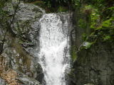
Beauty: 6
Duration: 90 days after a significant rainfall
Height 8 feet
Biggest vertical drop 10 feet
Terrain: unofficial trail, some difficulties
publicly owned land, but public access prohibited
route: There's a crude trail along the creek, marked by signs saying something like: Danger, closed area, $500 fine
Last visited 2012-03-01
id: alumrock.1
Arroyo Agague
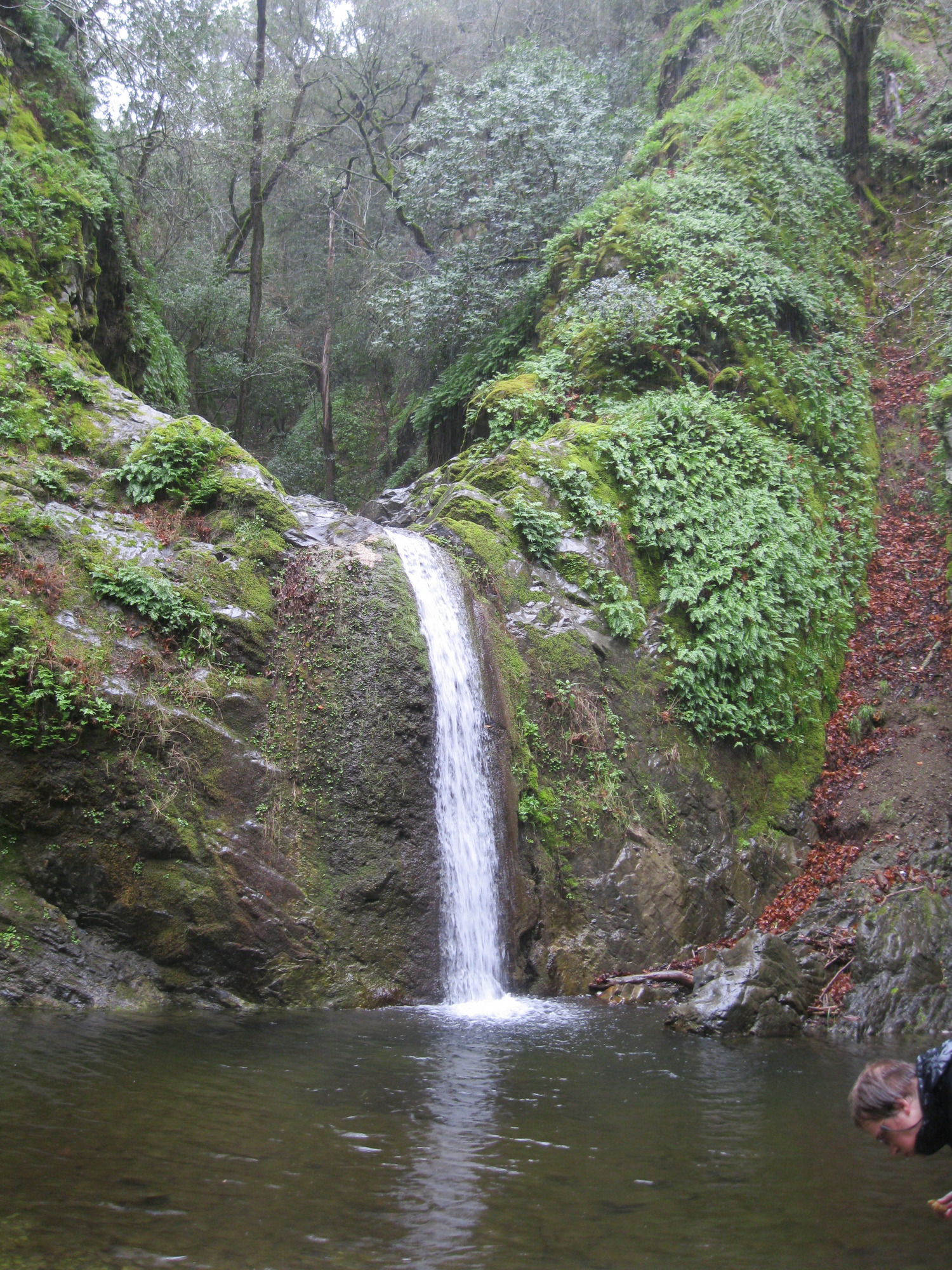
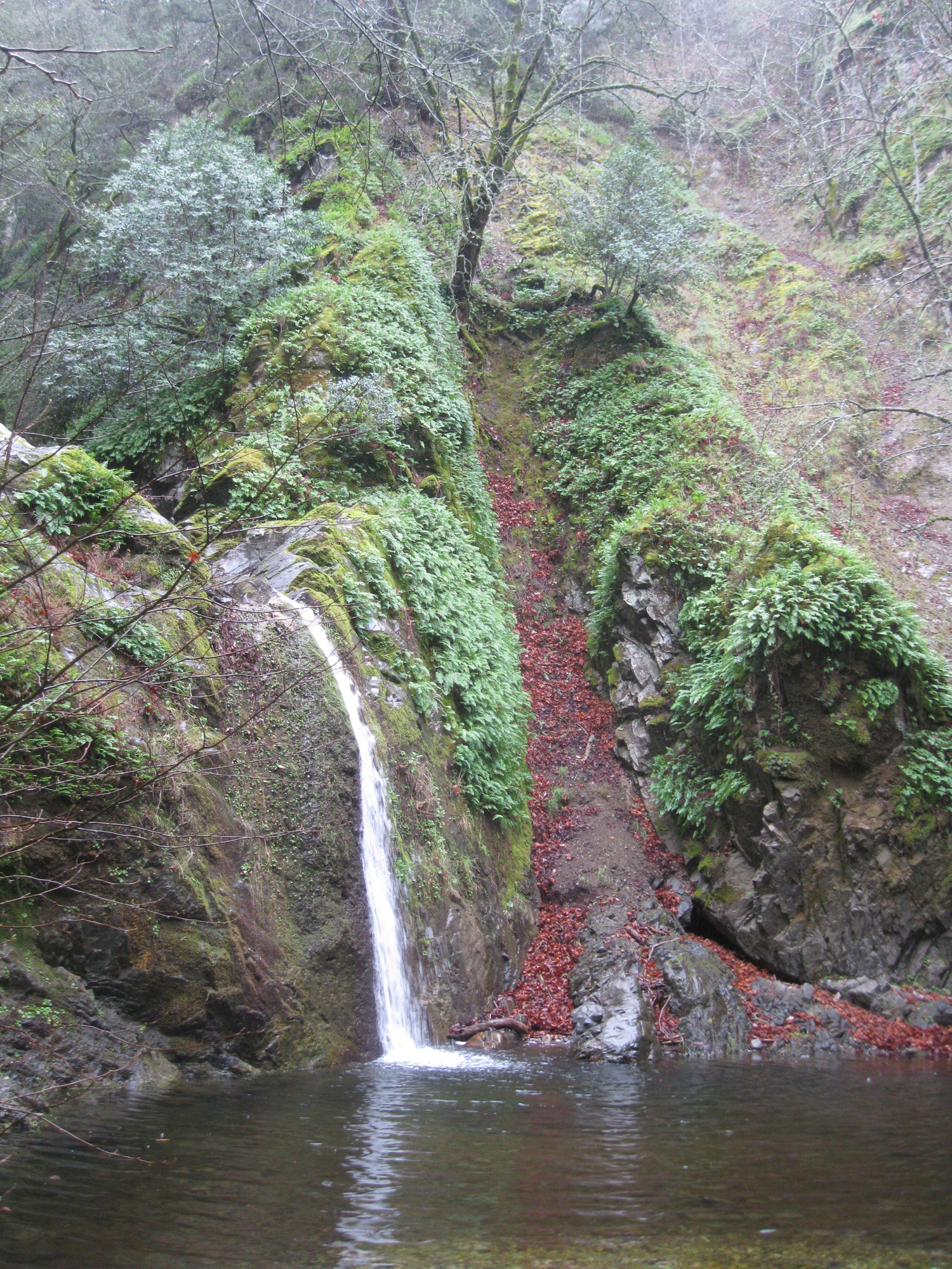
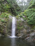
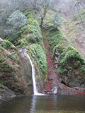
- waterfall at (37.40071, -121.78626):
Name: Arroyo Agague Falls
Videos:

Beauty: 8
Duration: 90 days after a significant rainfall
Height 14 feet give or take 1 feet
Biggest vertical drop 10 feet
Terrain: streambed with some difficulties
publicly owned land, but public access prohibited
route: There's a crude trail along parts of the creek, but in some places I had to walk in the rocky creekbed. I assume it's impassible at high flows. The 'easy' place to start is marked by signs saying something like: Danger, closed area, $500 fine
Last visited 2012-03-01
id: alumrock.2
back to main waterfalls page