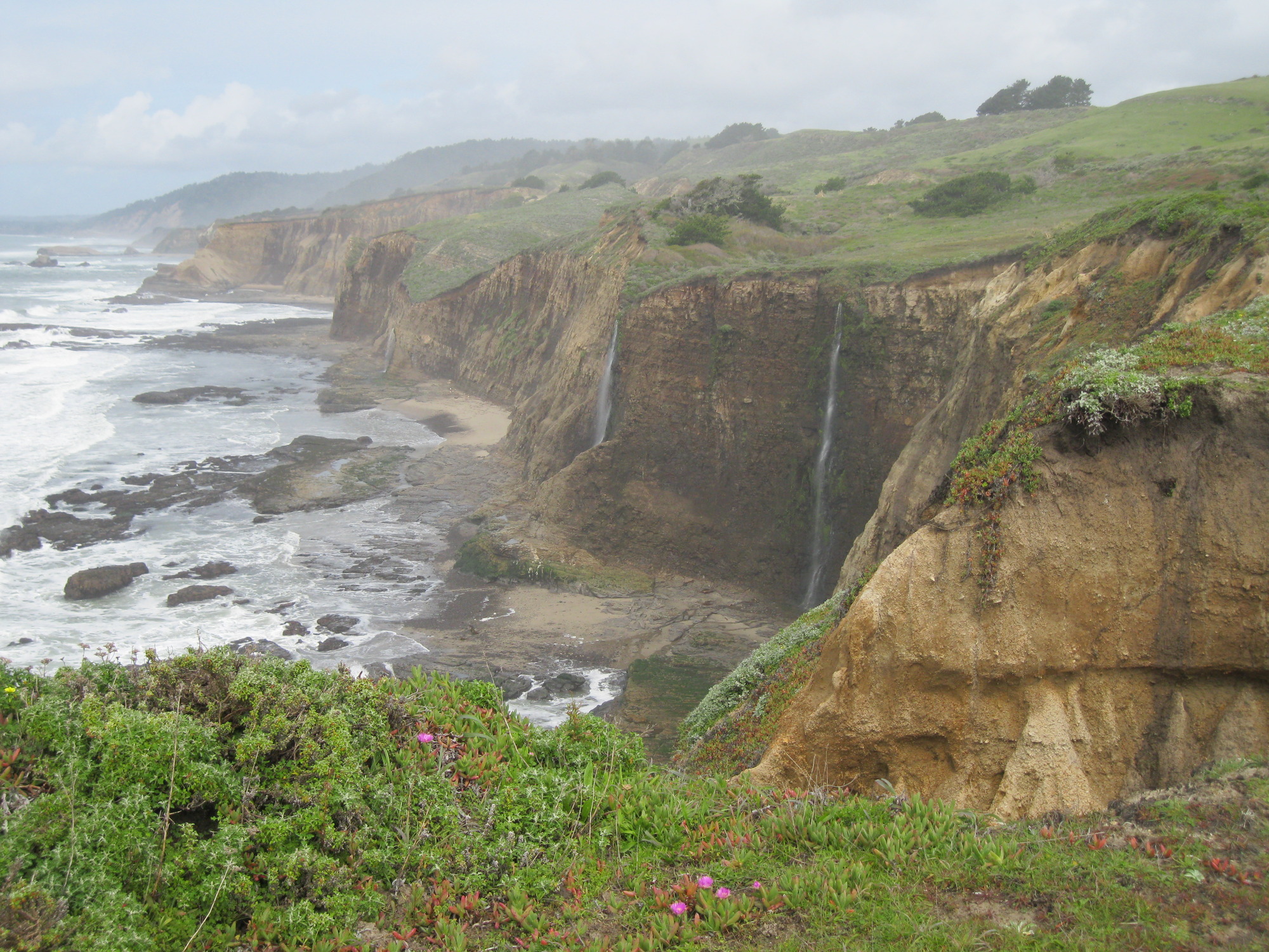
- coast near Greyhound Rock County Park, Mar 27, 2011
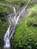
Three waterfalls:
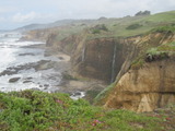
- coast near Greyhound Rock County Park, Mar 25, 2011
the best waterfall at Greyhound Rock:
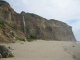
a more distant view showing the other waterfalls to its left:
- Murietta Falls, Mar 19, 2011

- Lucas Valley Open Space Preserve, Mar 14, 2011
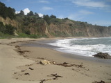
- Beach north of Pescadero, Feb 25, 2011

- Emigrant Lake, Aug 14, 2005
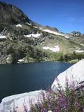
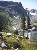
- Winnemucca Lake, Aug 13, 2005
- Murietta Falls hike, May 12, 2005
pond at Shafer Flat, buttercups nearby, goldfields in distance:
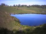
Johnny's Pond:
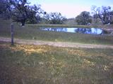
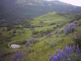
- Sunol Regional Wilderness, March 17, 2005
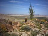
- Anza Borrego, March 13, 2005
- Budd Creek, Aug 1, 2004

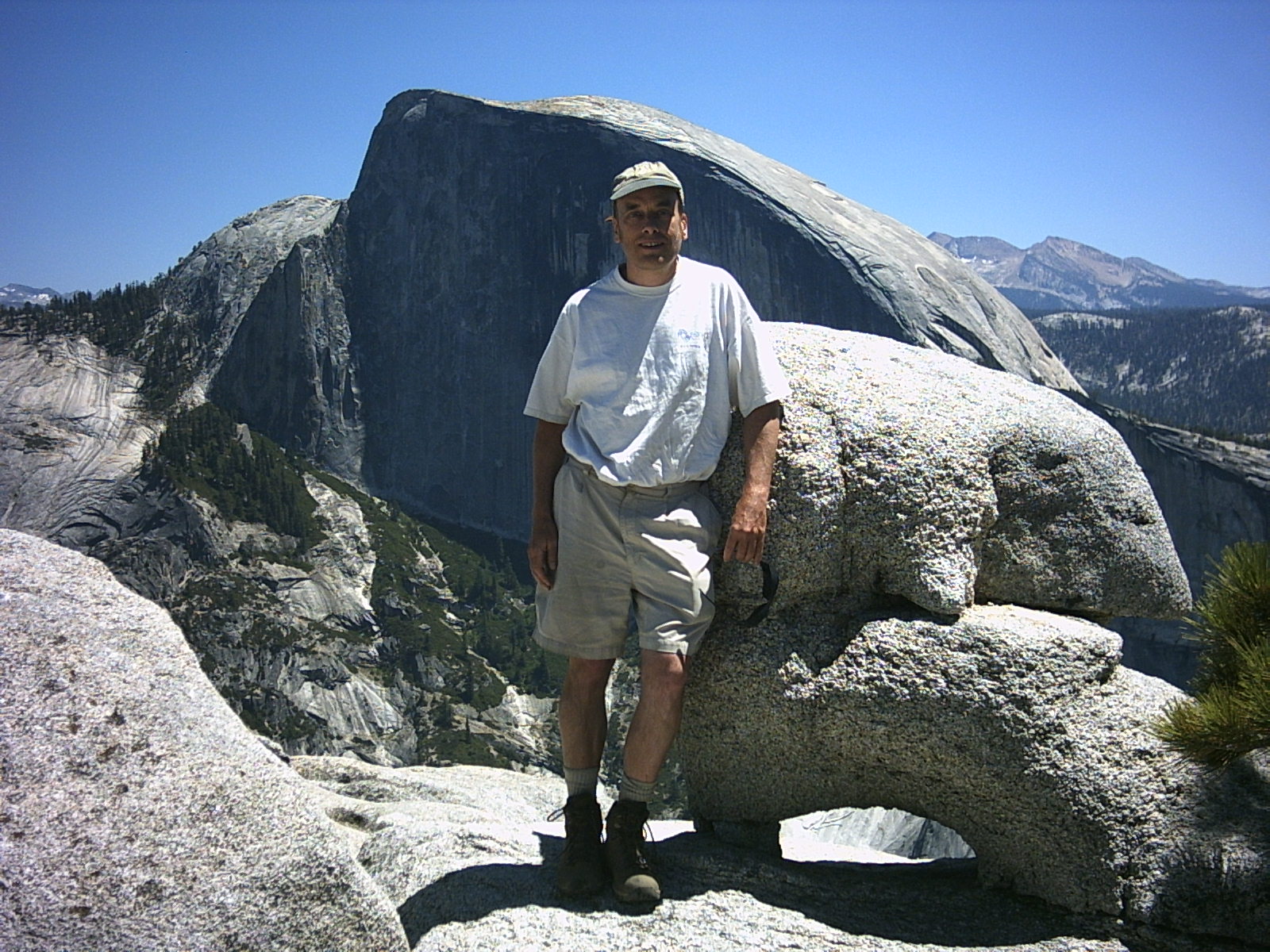
- North Dome, July 31, 2004

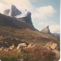
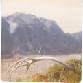
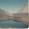
- Baffin Island, 1972:
An antler from a Barren Ground Caribou:
Looking northeast near the base of Thor Peak (on the right). If you look closely,
you can see the tip of Fork Beard Glacier on the right at the far end of Thor Peak,
with a waterfall coming out of it:
View southwest from near Summit Lake, with Thor Peak on the right, and Fireweed
(Epilobium latifolium) blooming in the foreground: