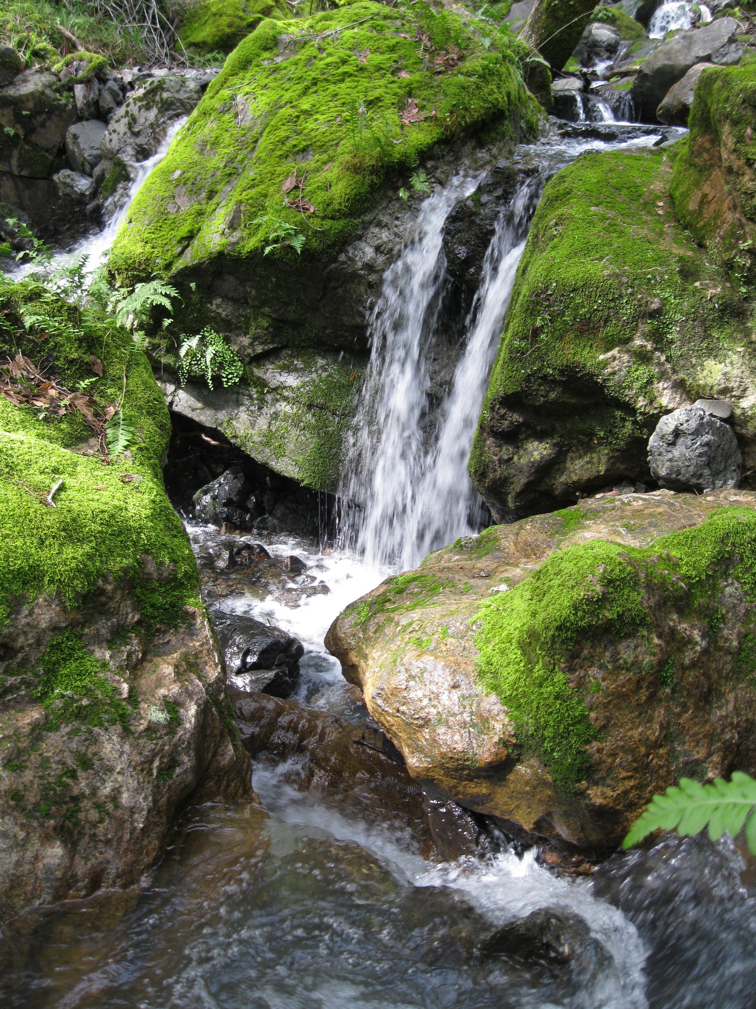
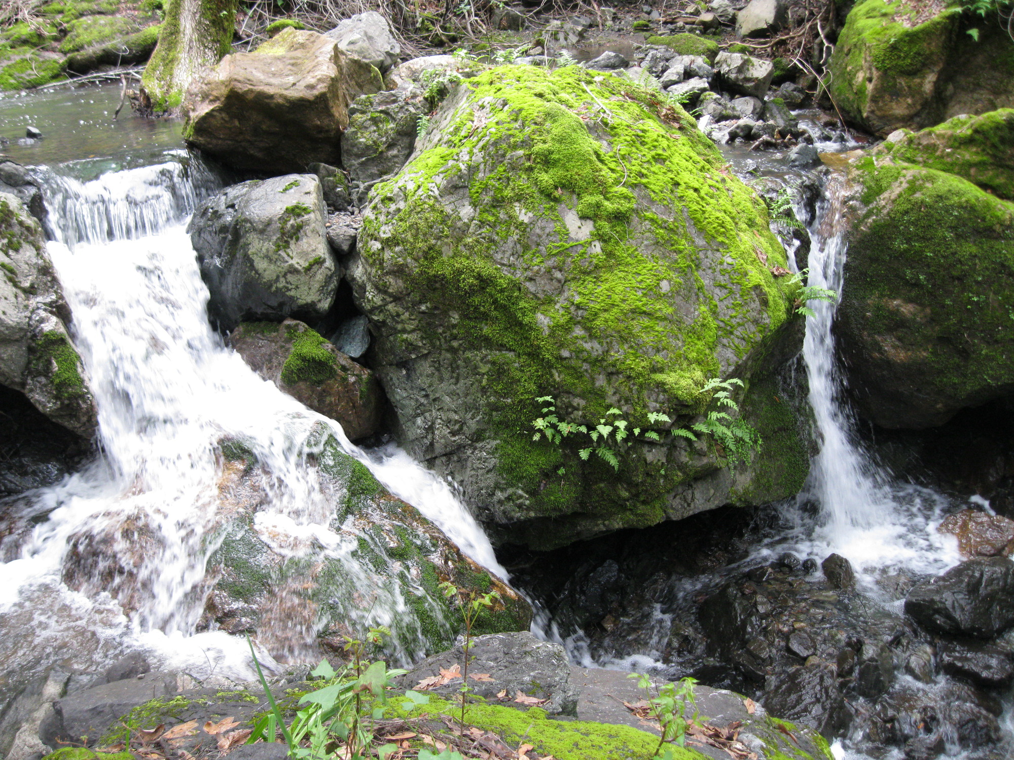
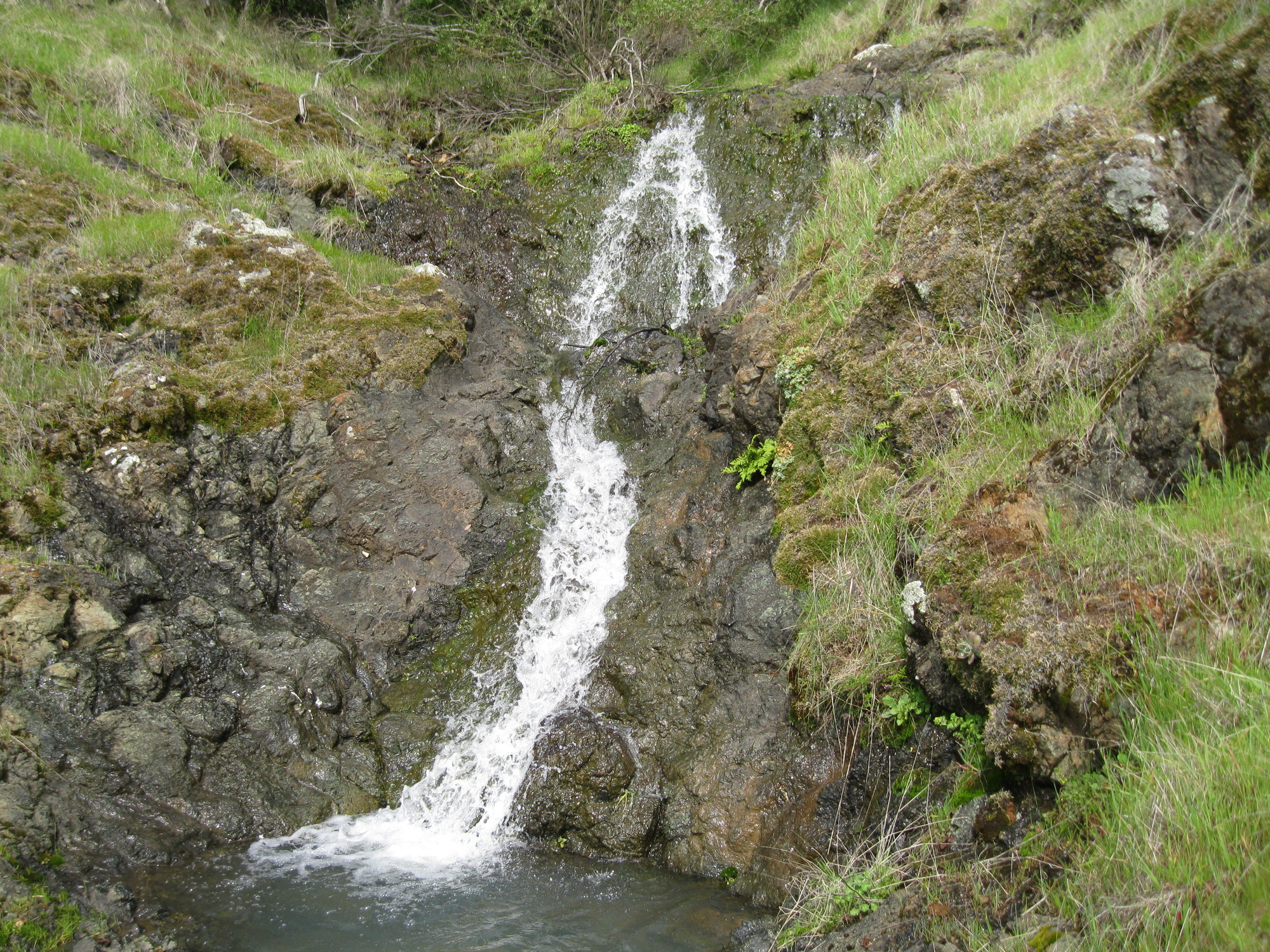
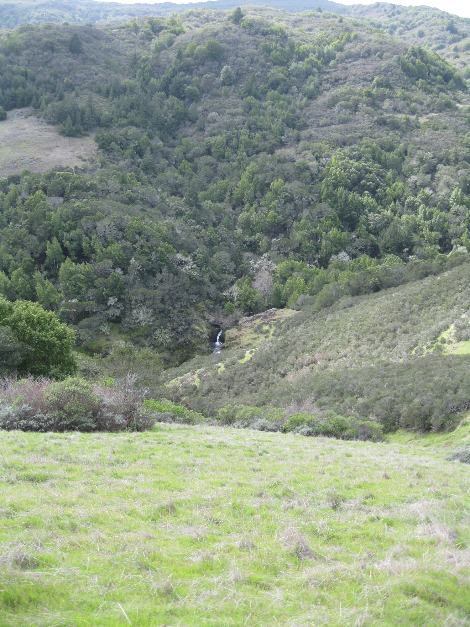
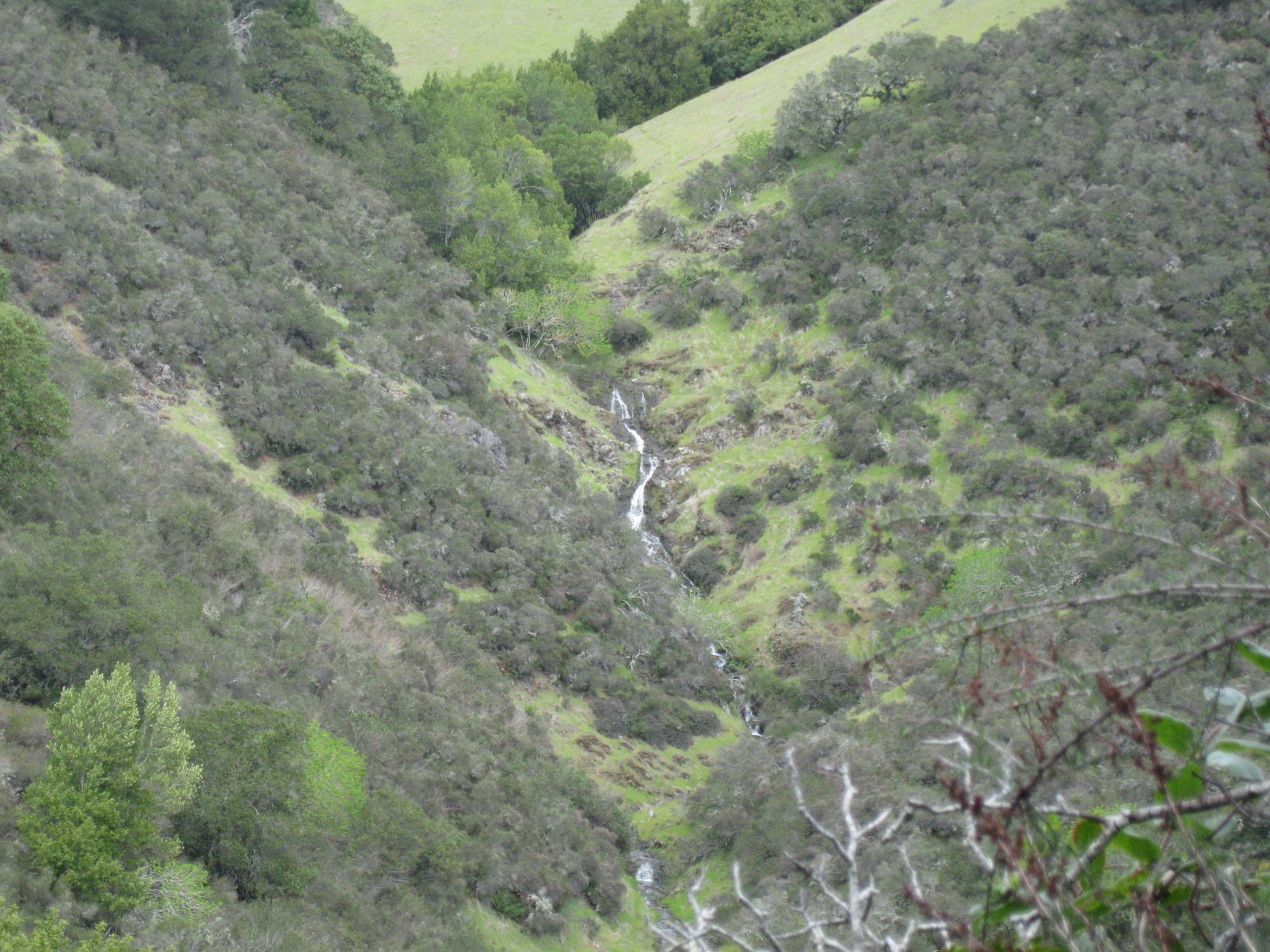
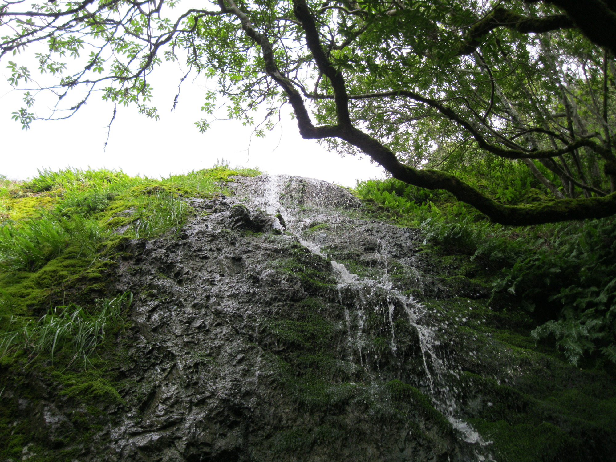
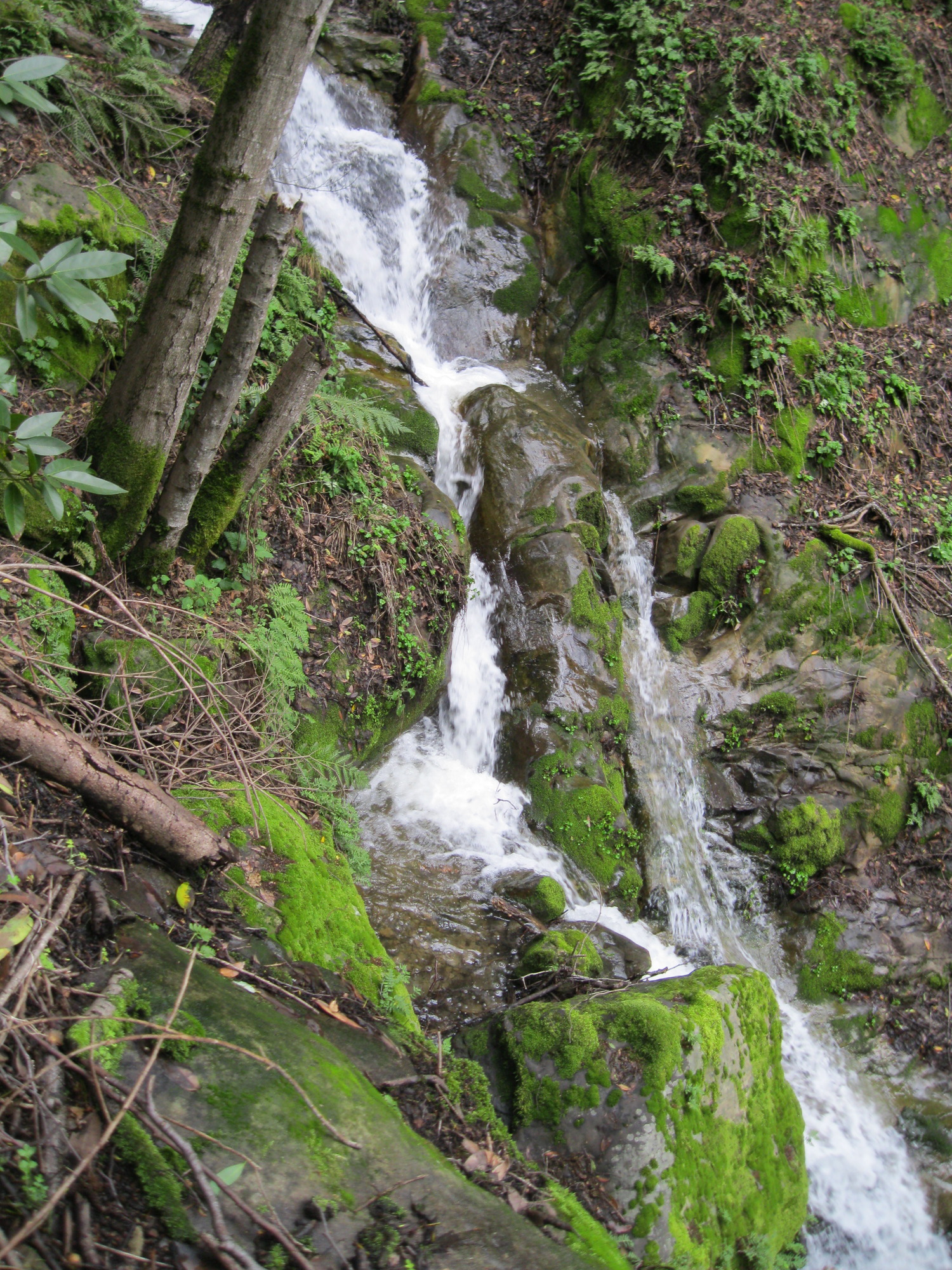
Barbier Park, March 1
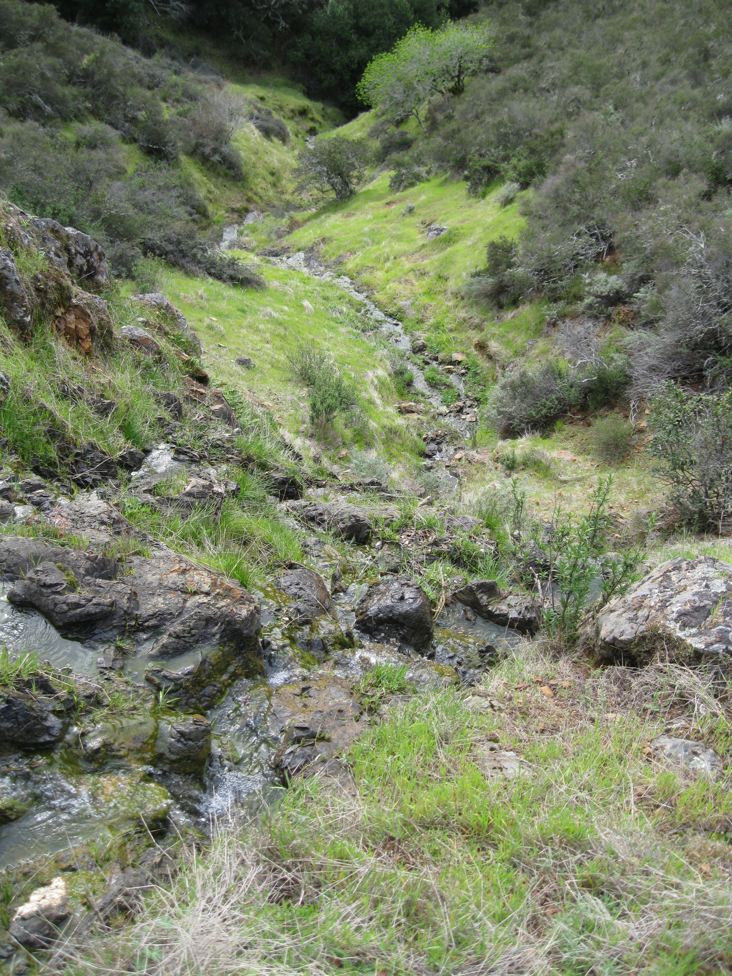
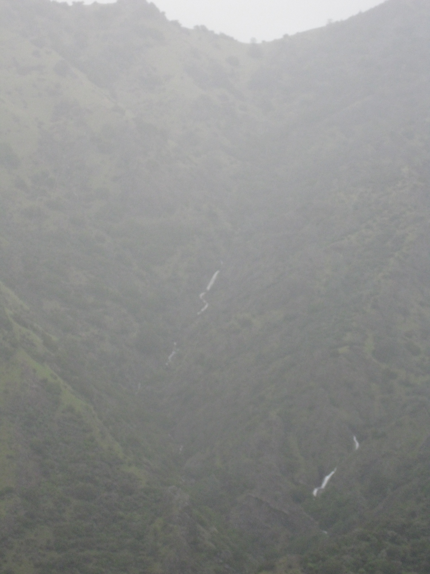
The upper parts of Mountain View falls, seen from 0.2 miles west on the J T Howell trail:
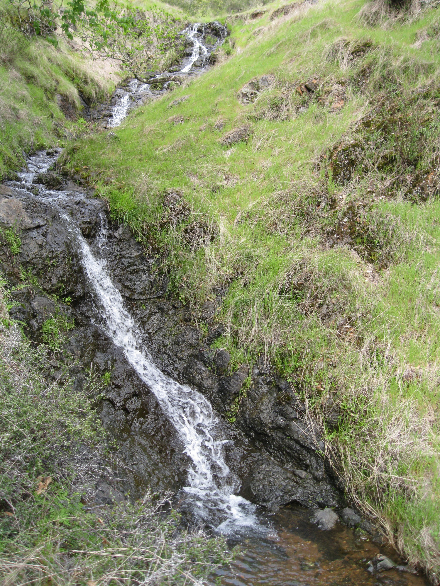
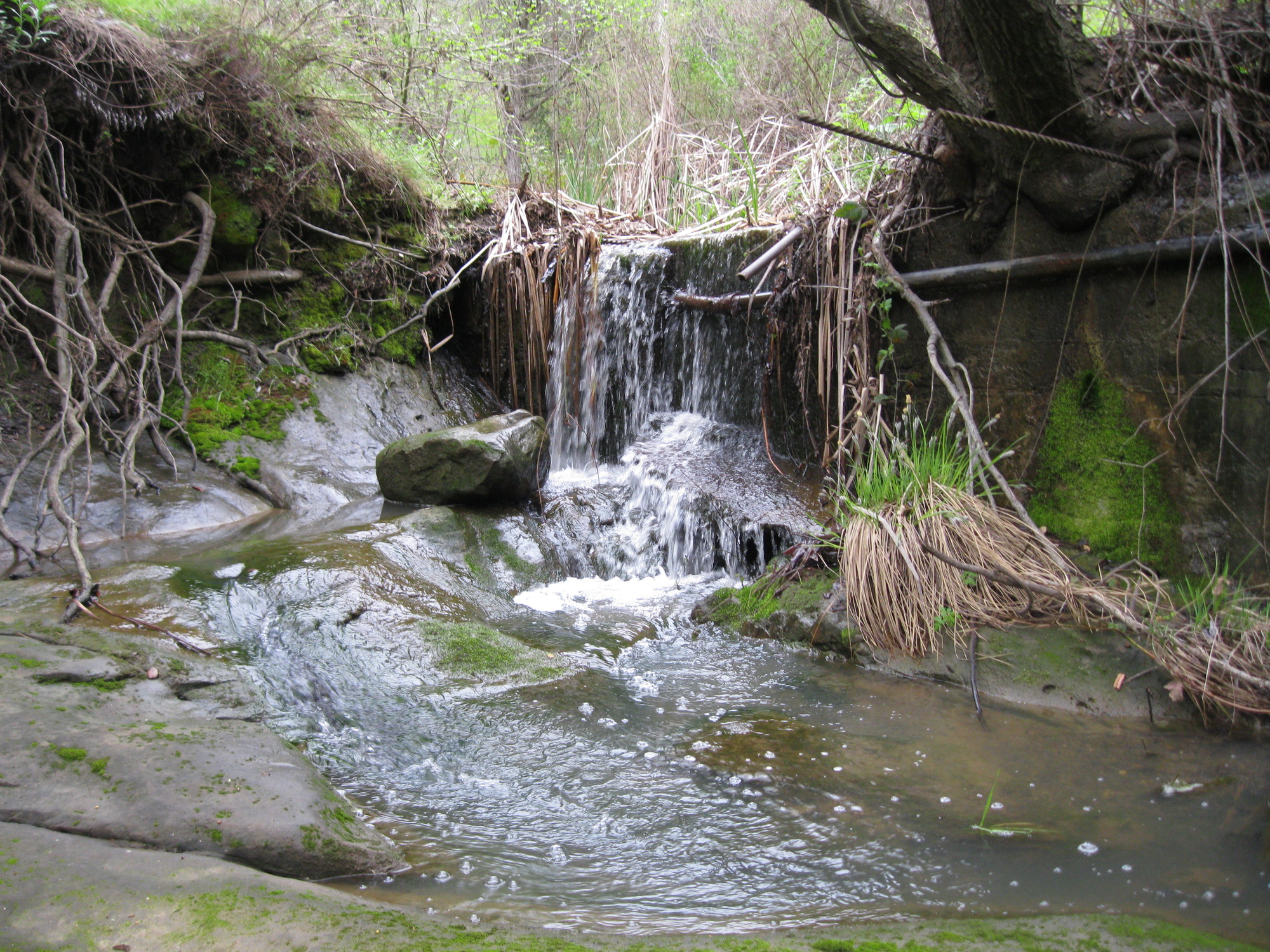
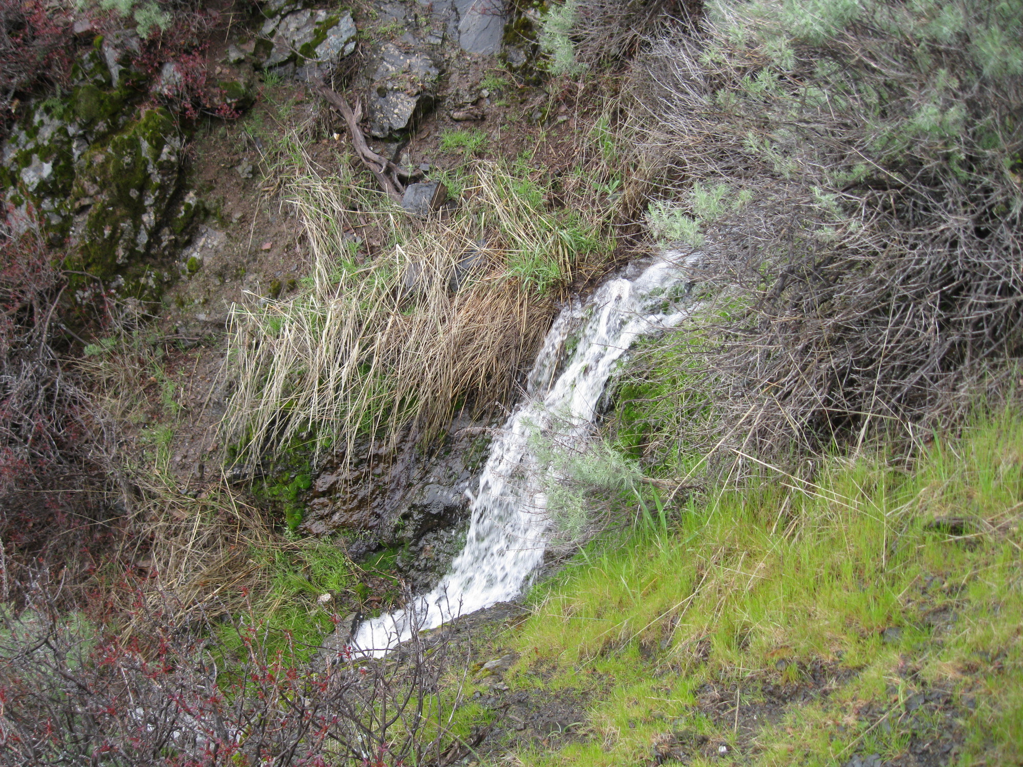
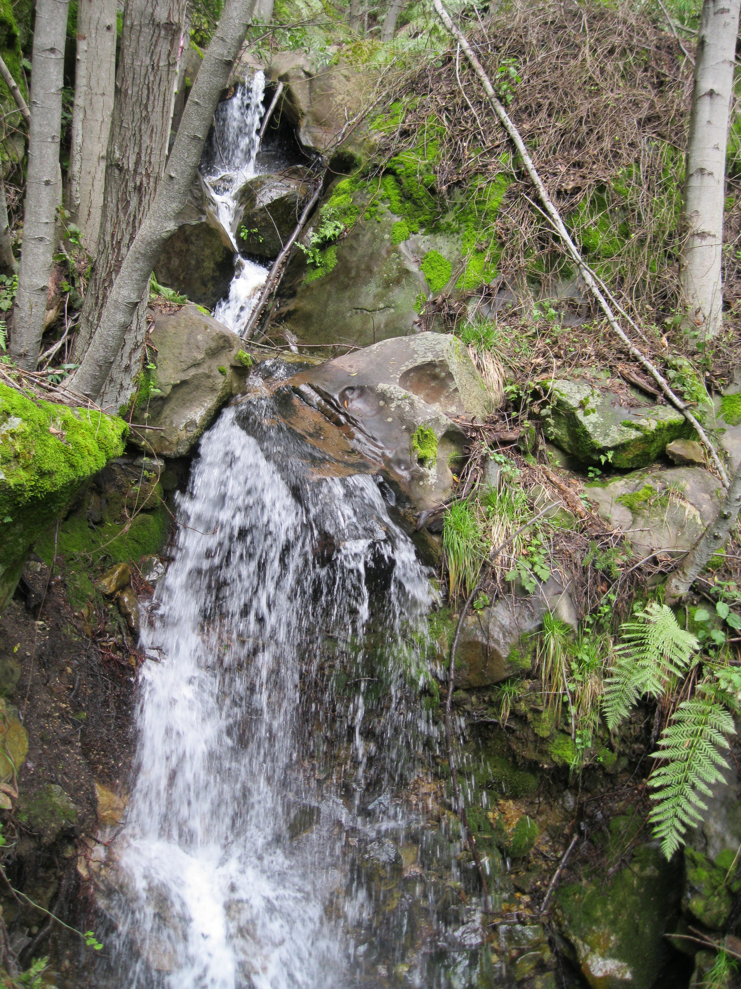
6 foot waterfall west of the north end of Mountain View Avenue:

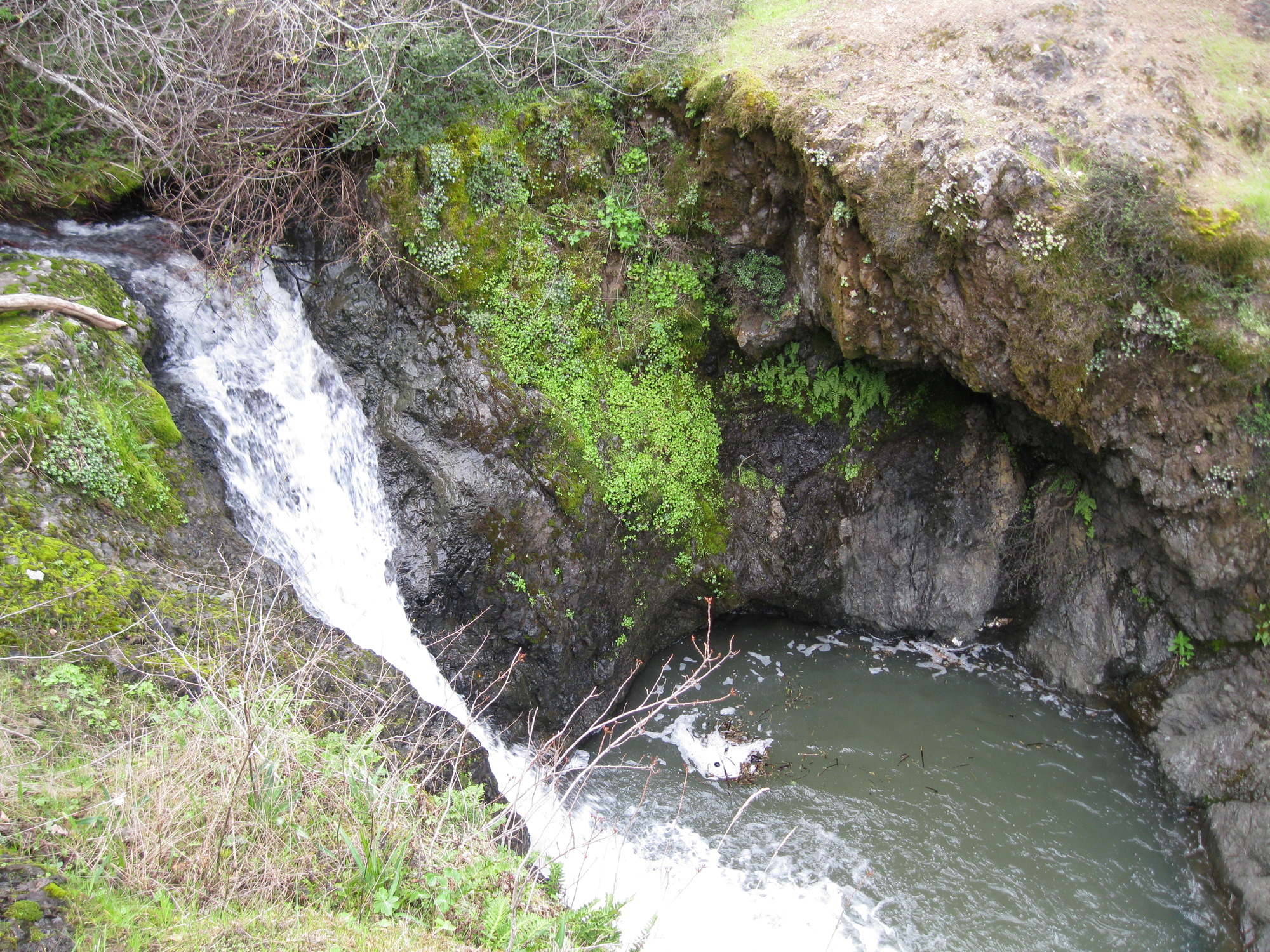
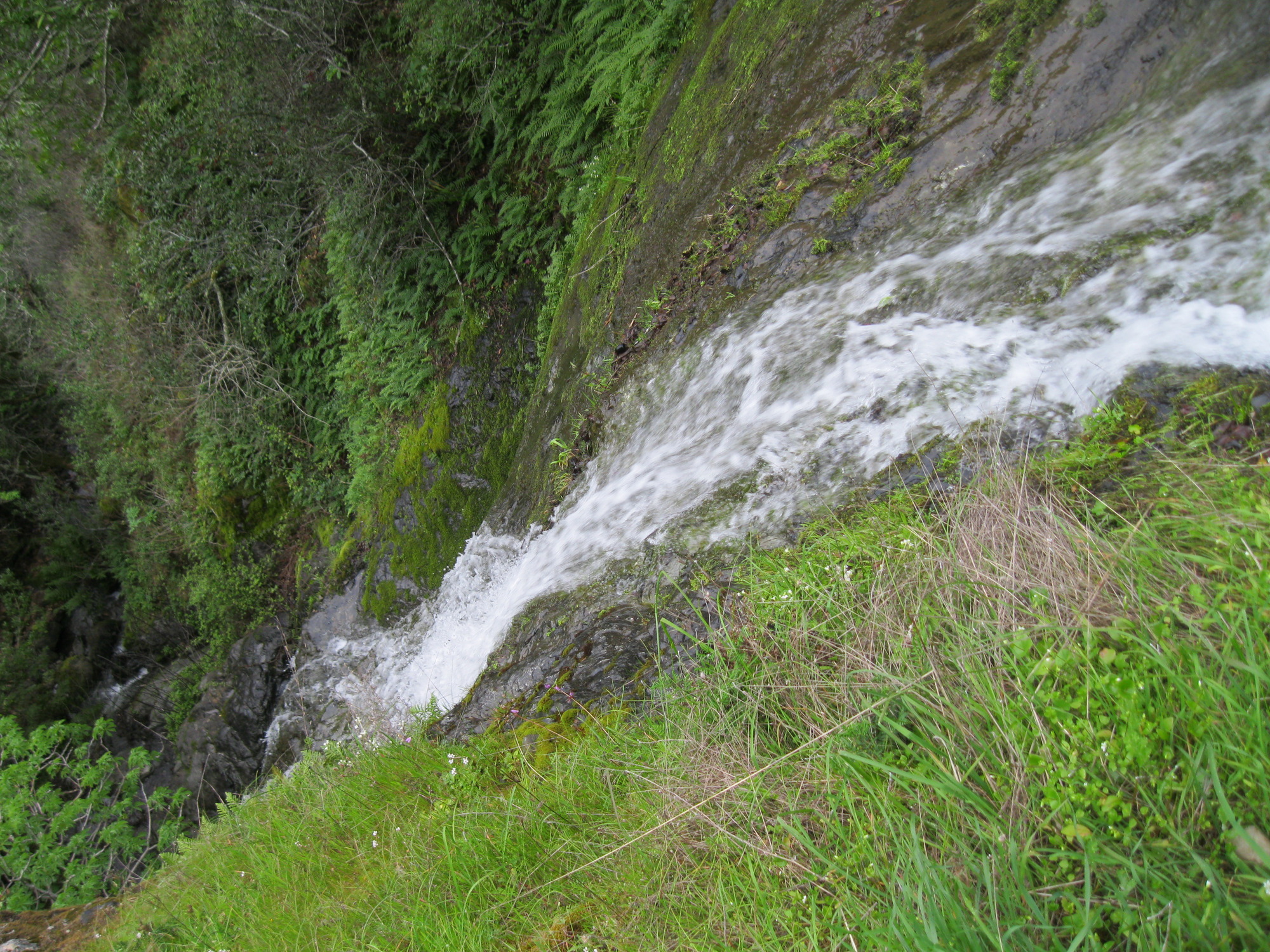
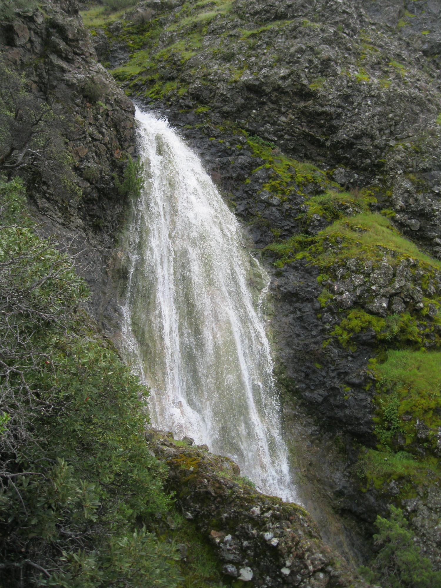
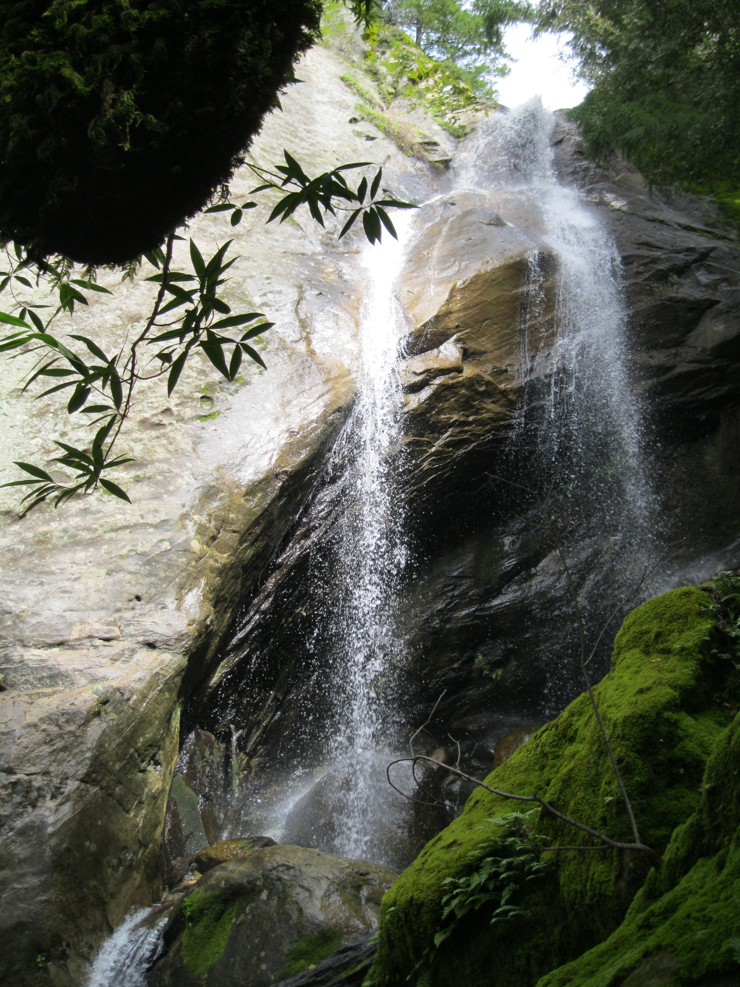
14+ foot waterfall a bit downstream:


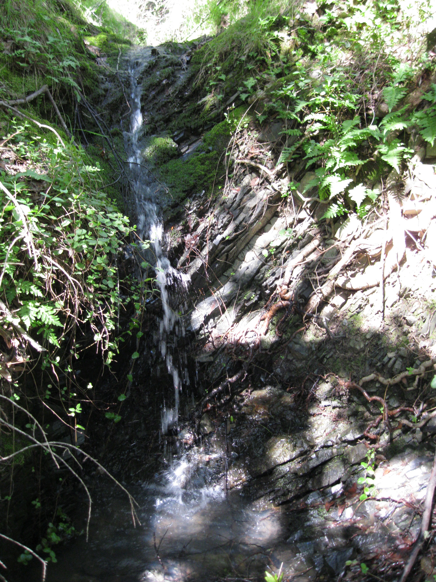
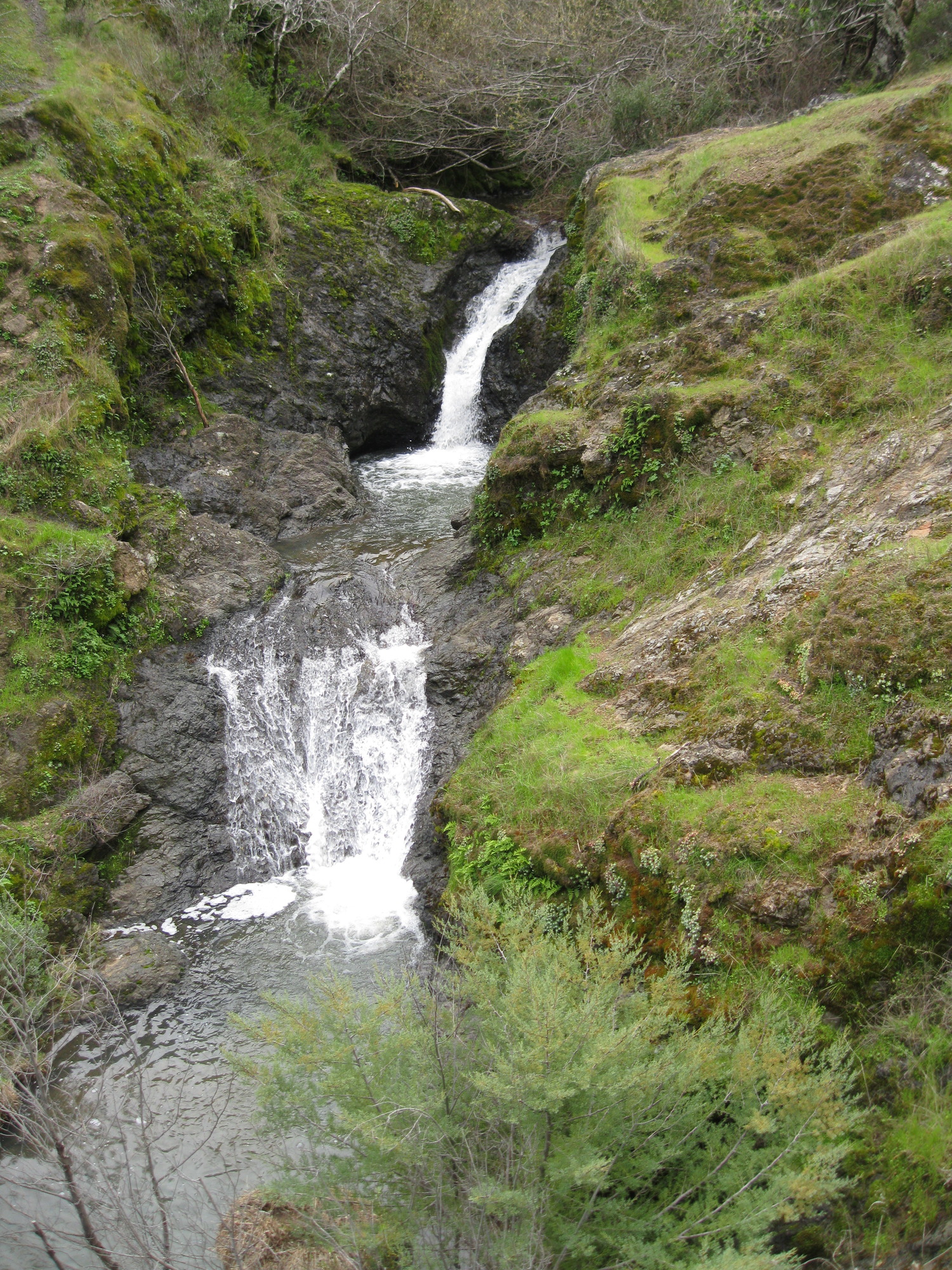
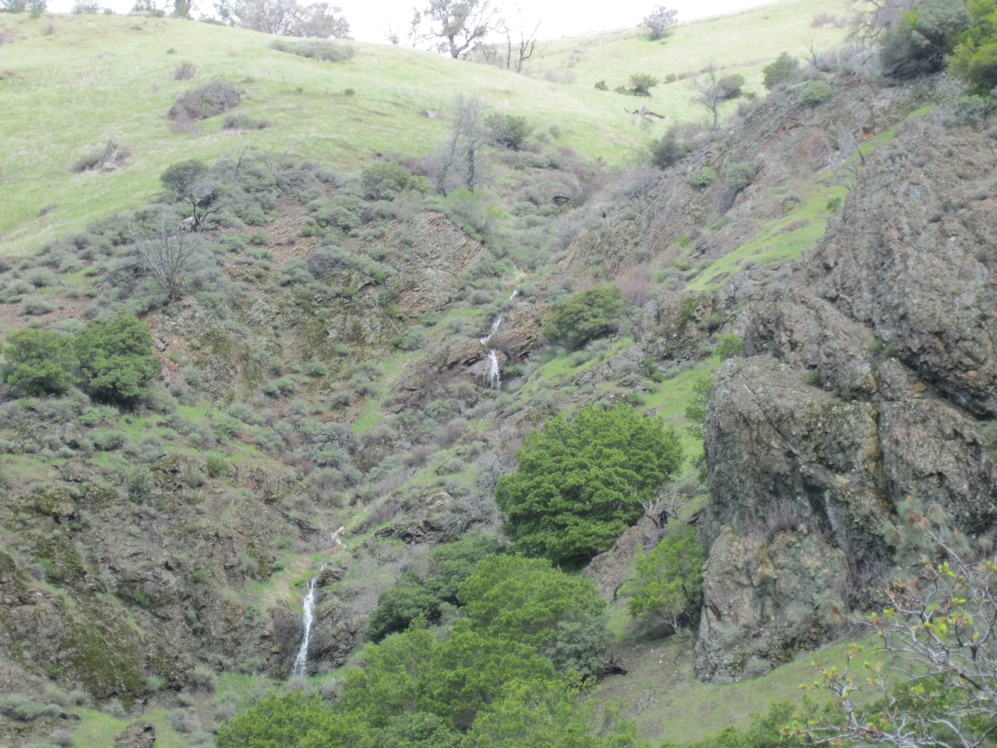
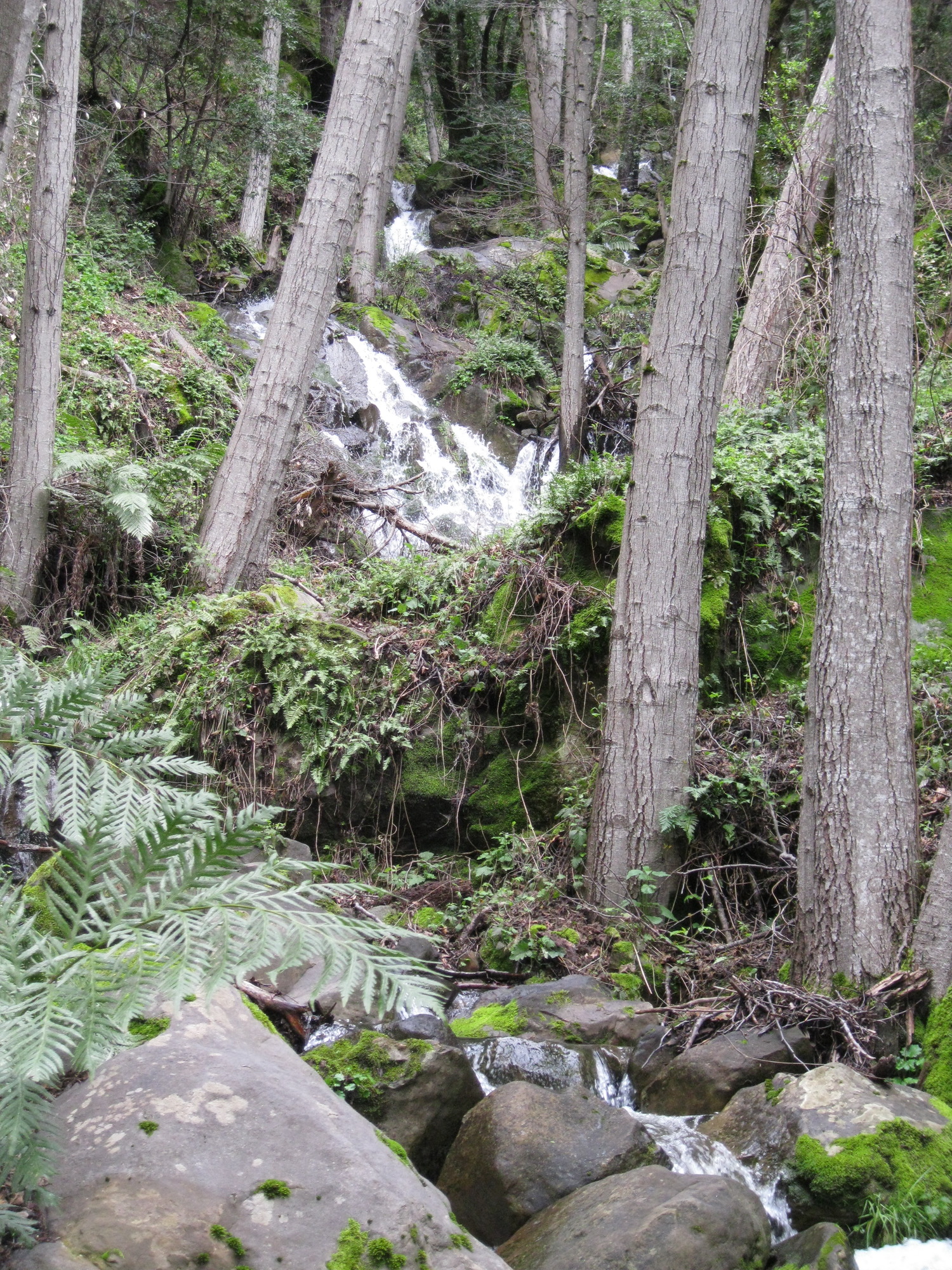
6 foot waterfall on a creek north of Mountain View Falls:
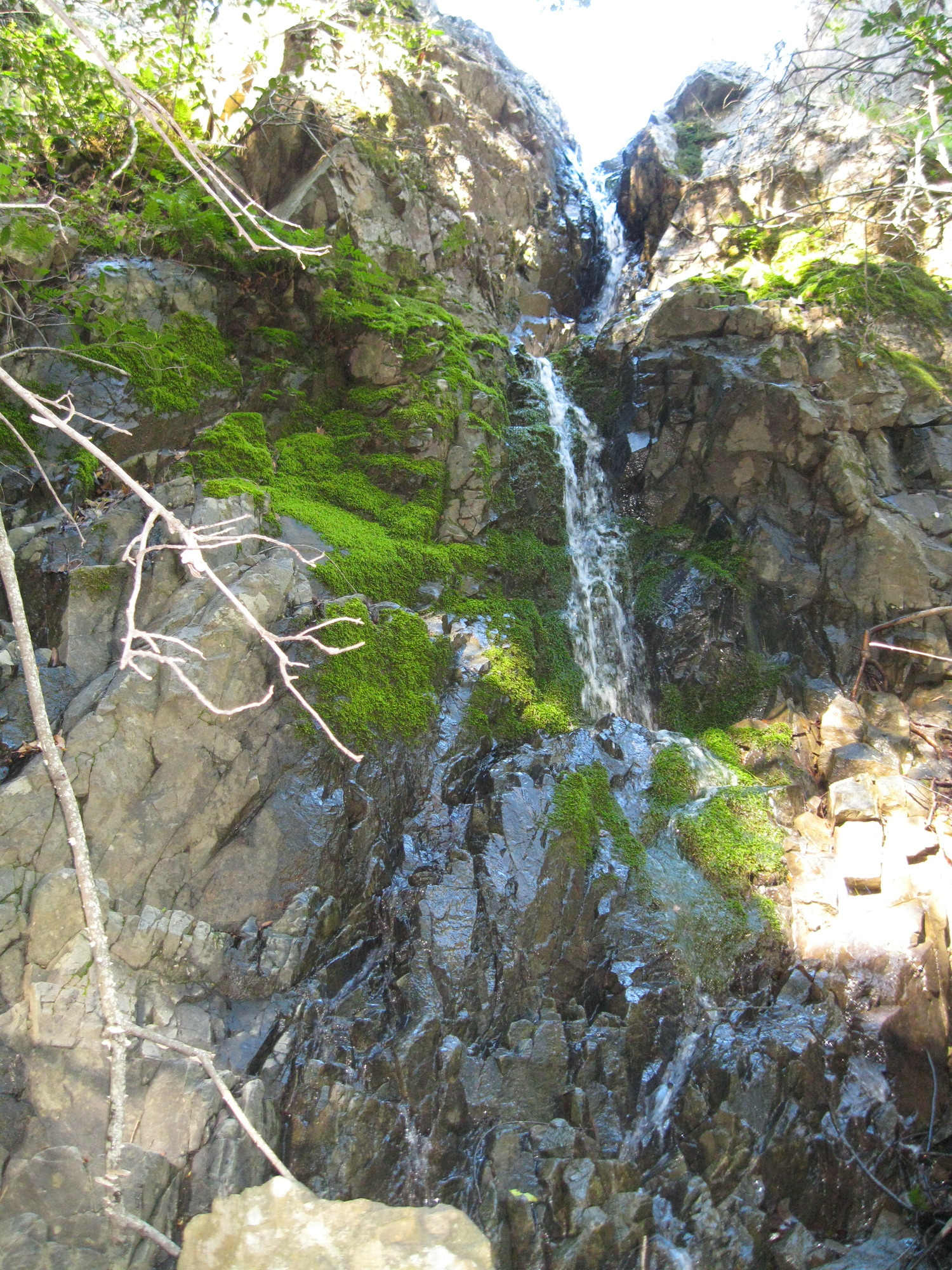
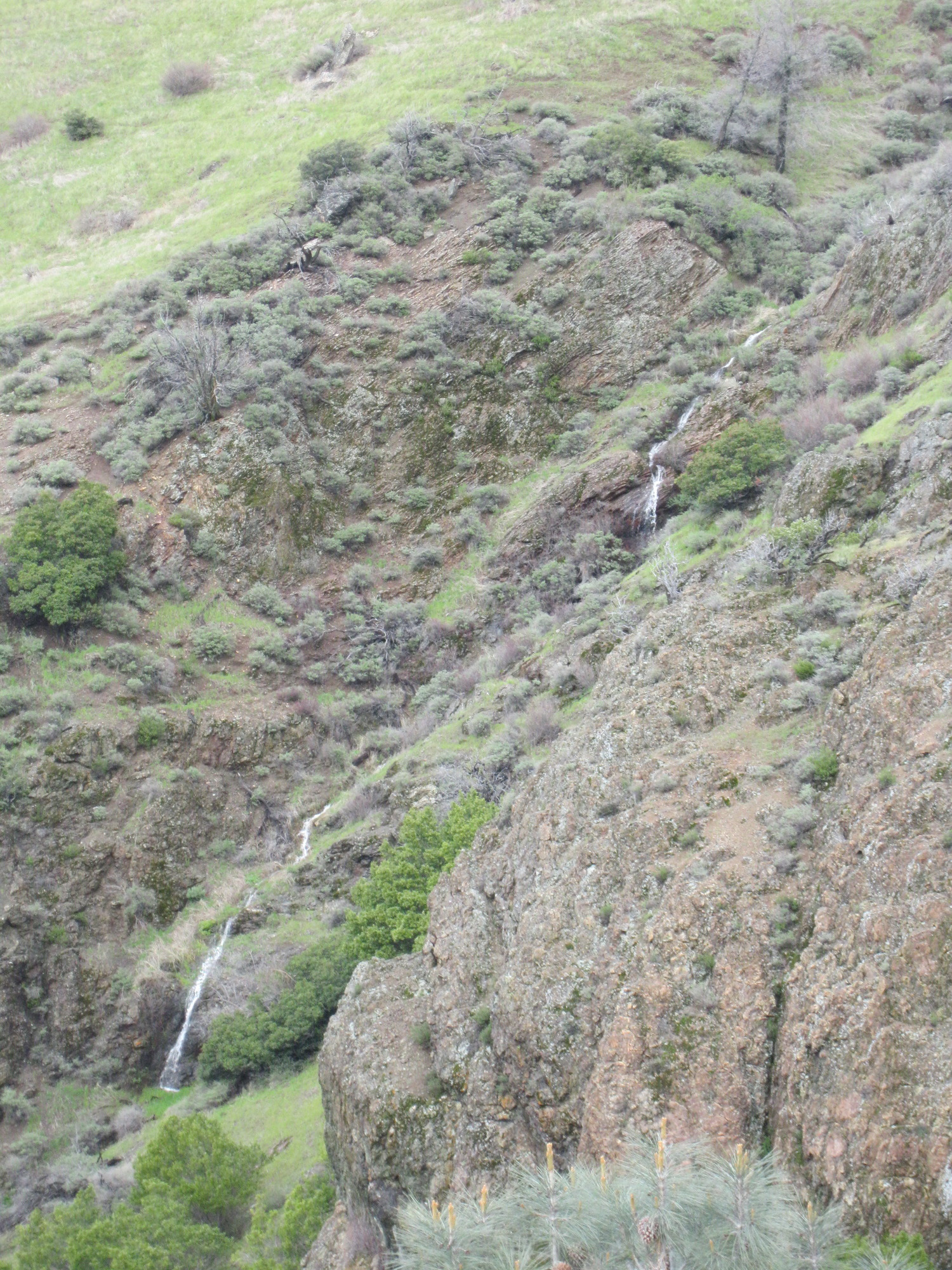
11 foot waterfall on another creek to the east:

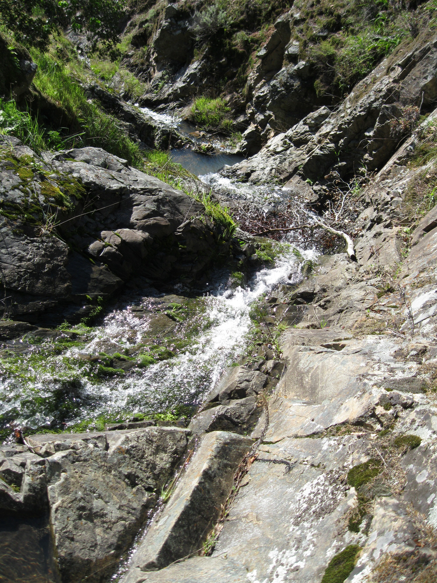
a 15+ foot waterfall a bit downstream:

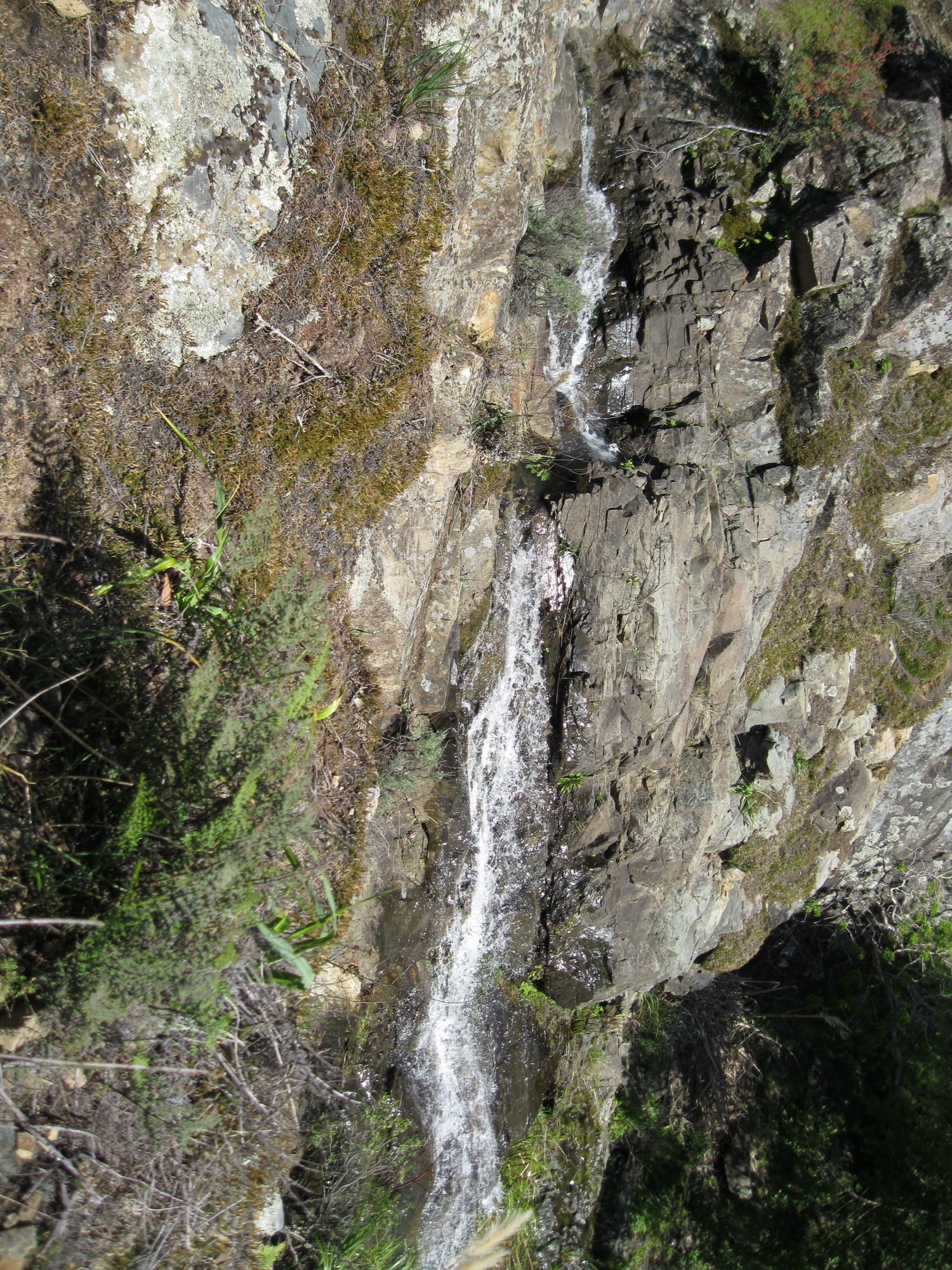
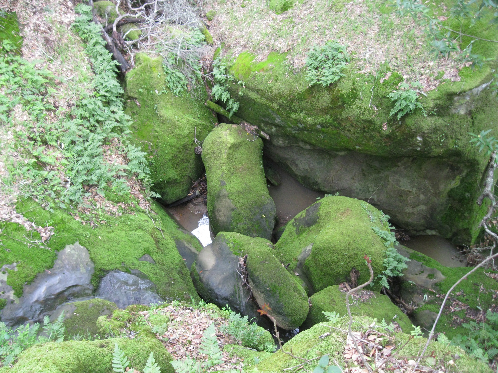
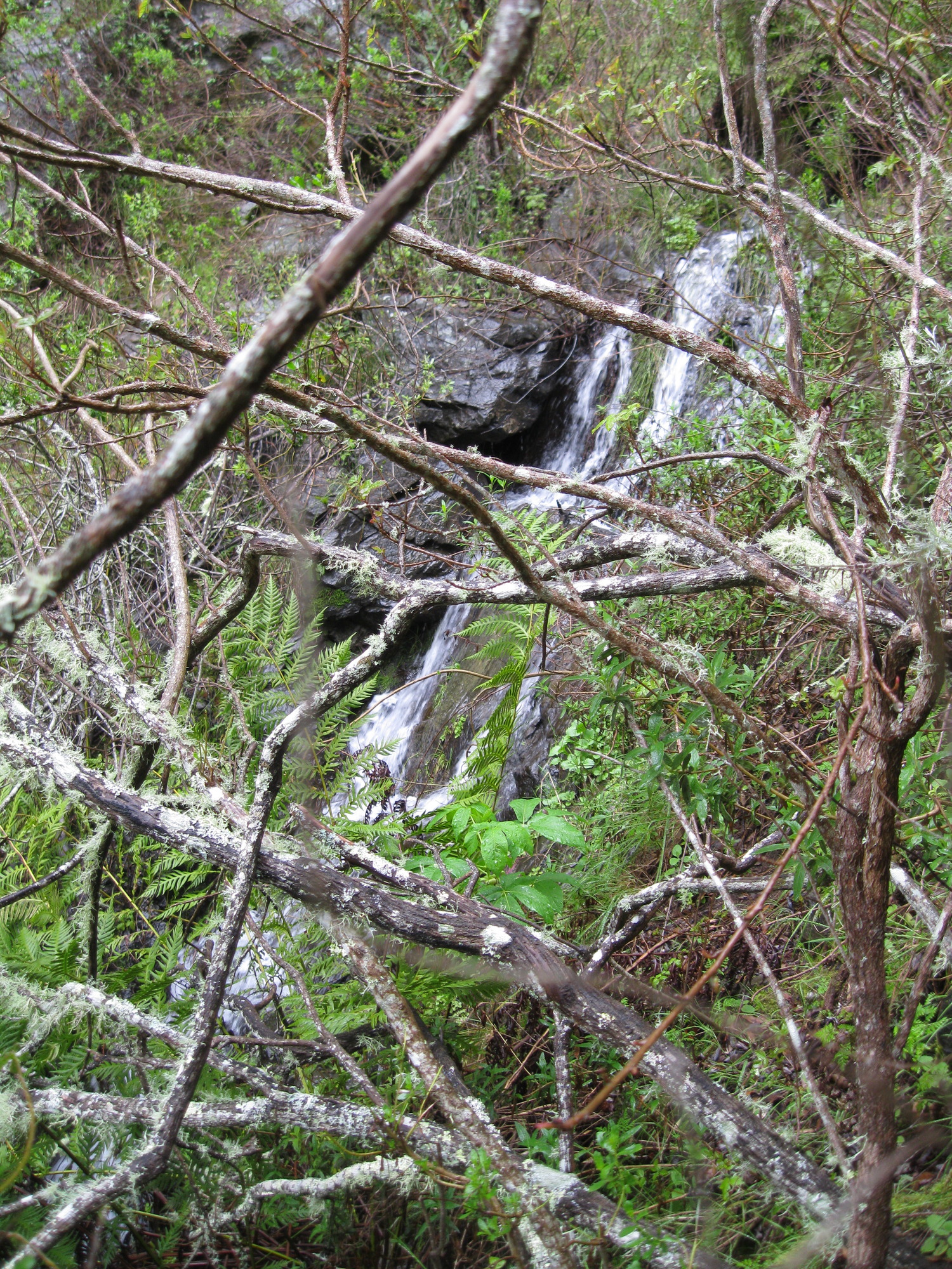
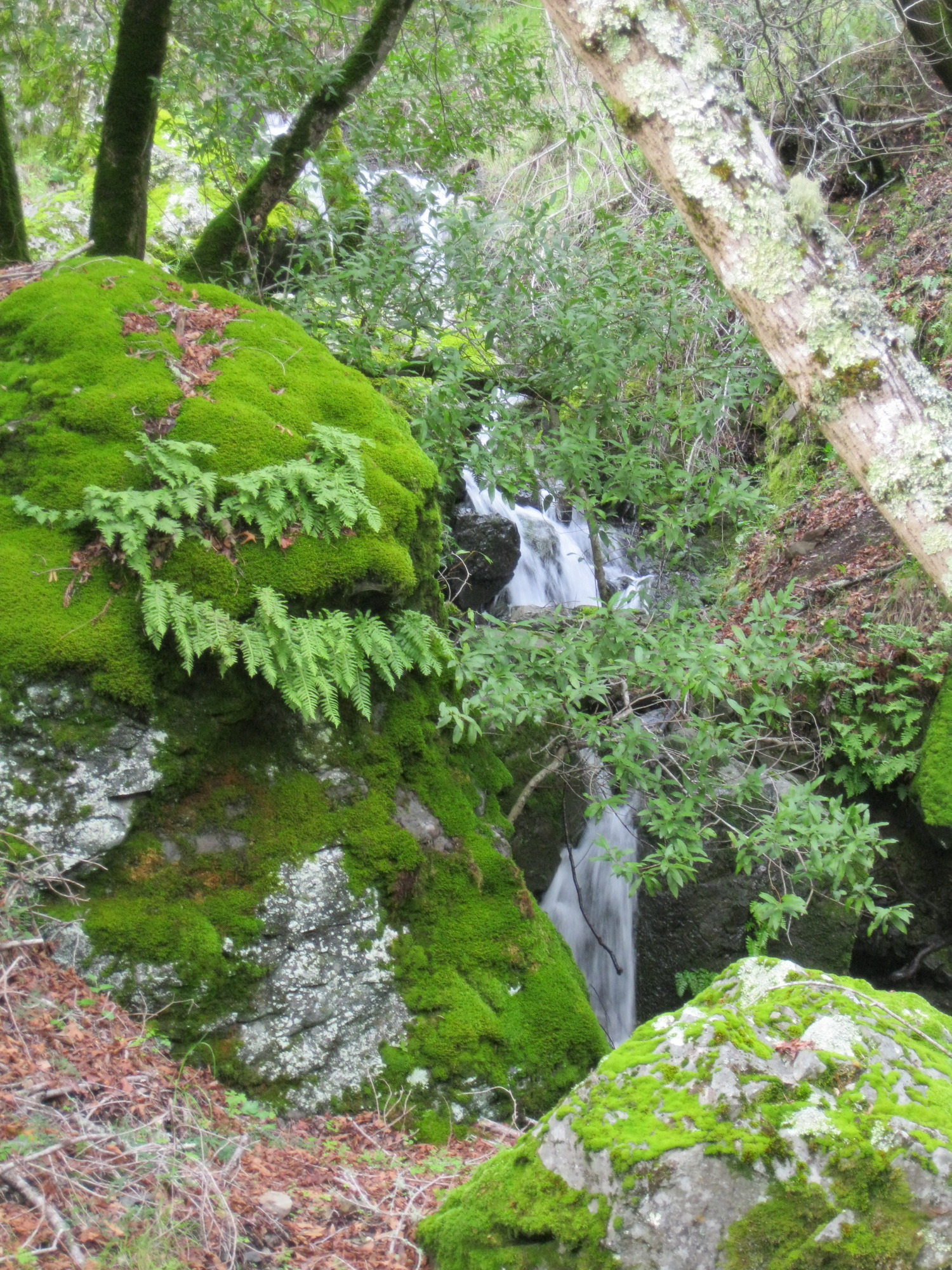
just above Mountain View Falls, not quite a waterfall:

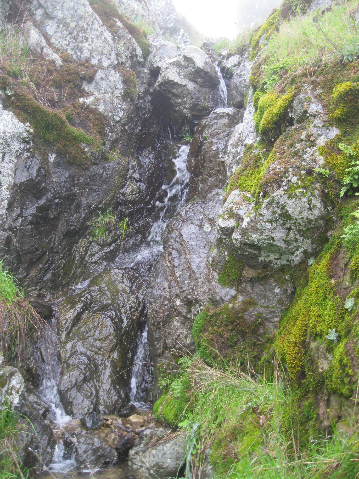
looking down on the upper parts of Mountain View Falls:
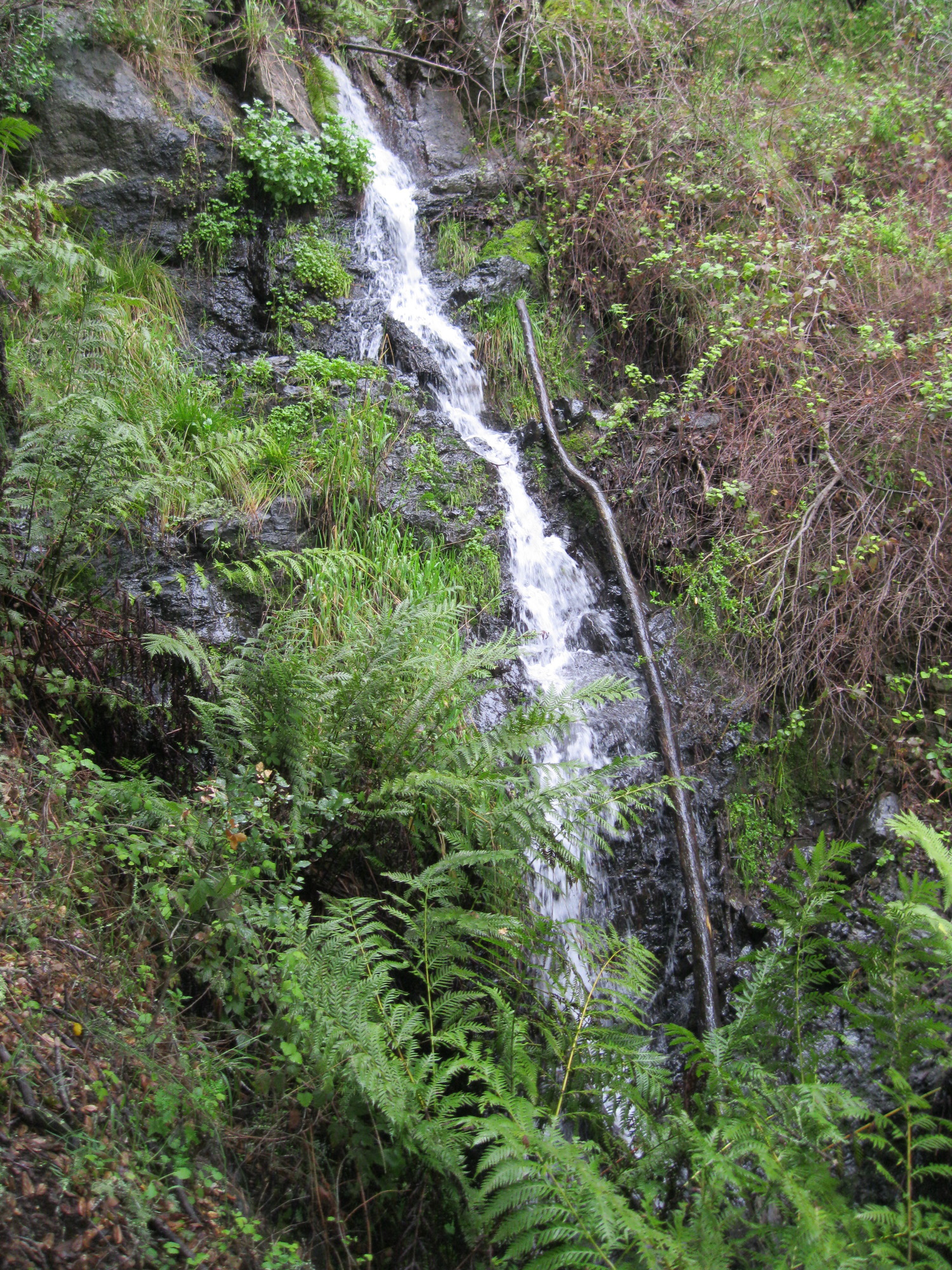
top two drops:

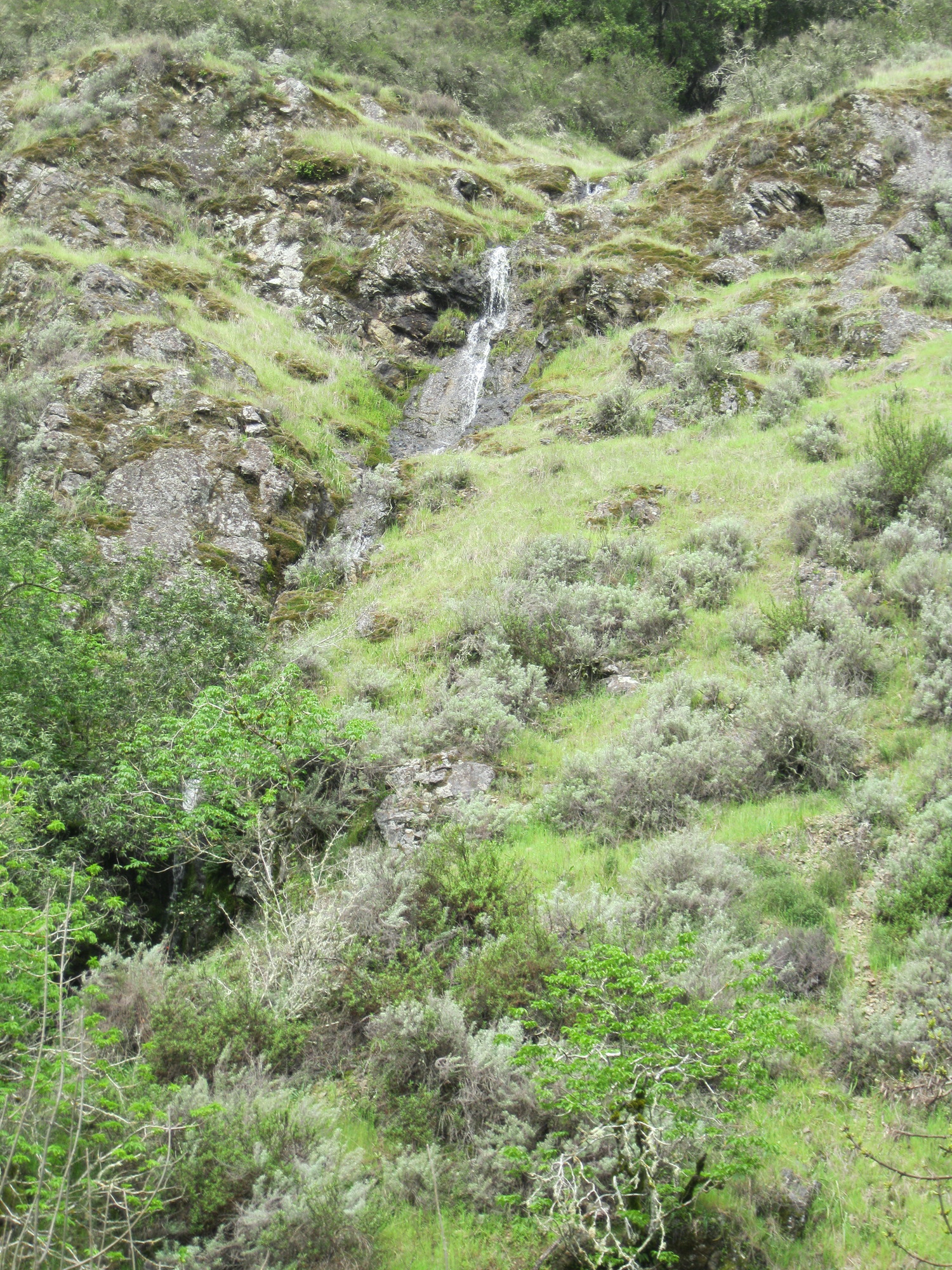
top three drops:

fourth drop:

drops 4 and 5:


top of the main drop:
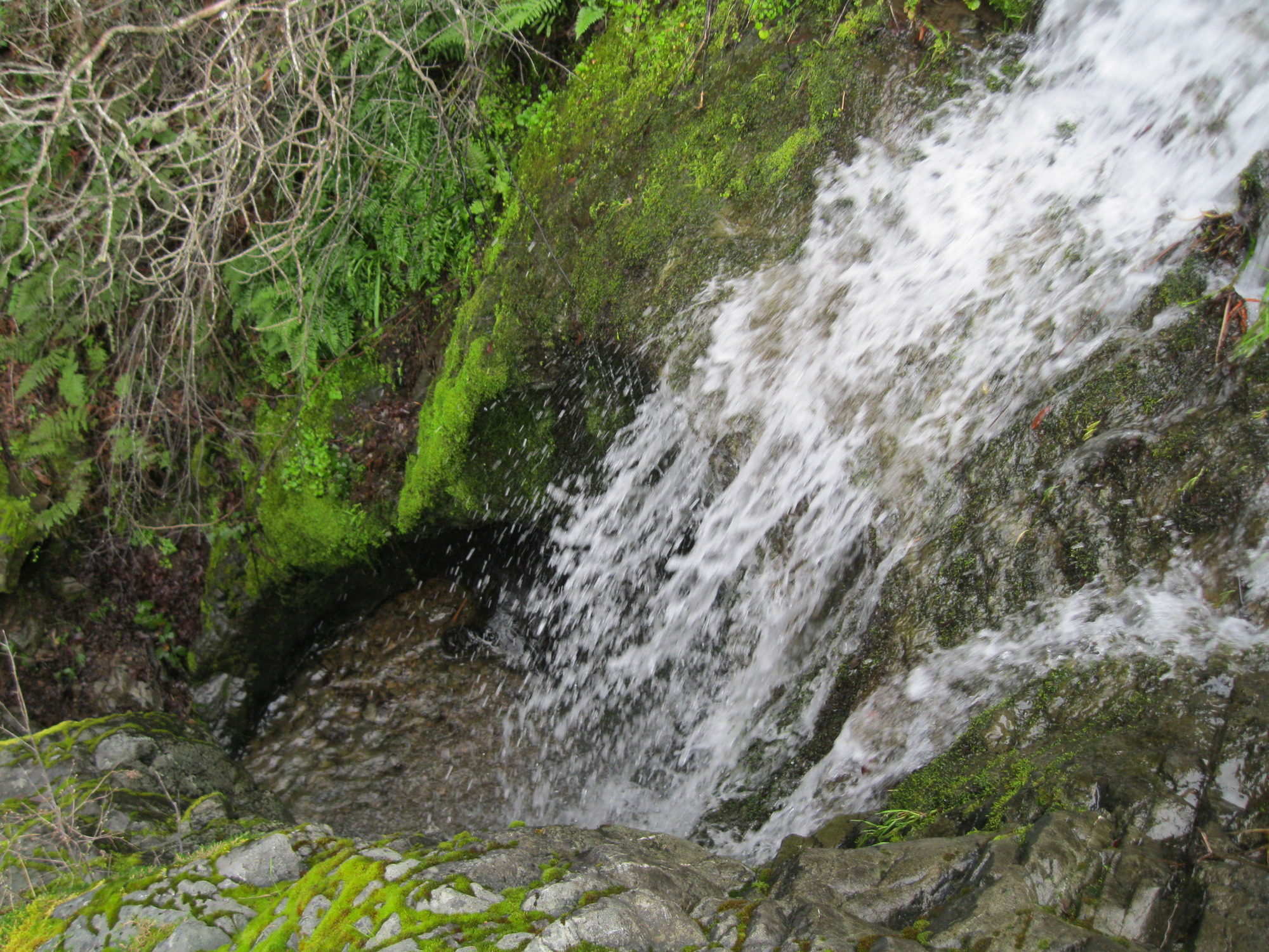
view from the bottom:

Sunol, Maguire Peak, March 5 with INCH
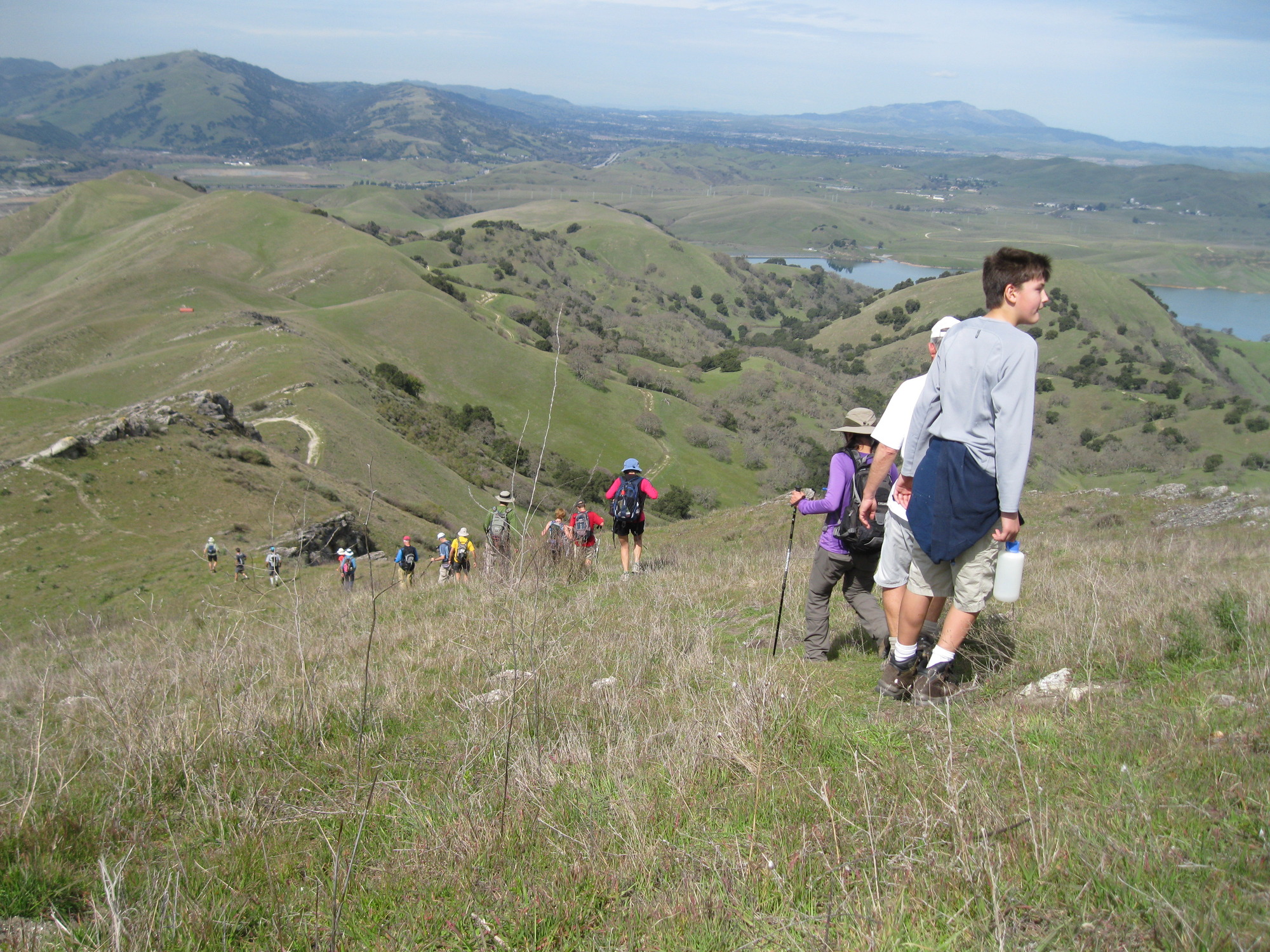
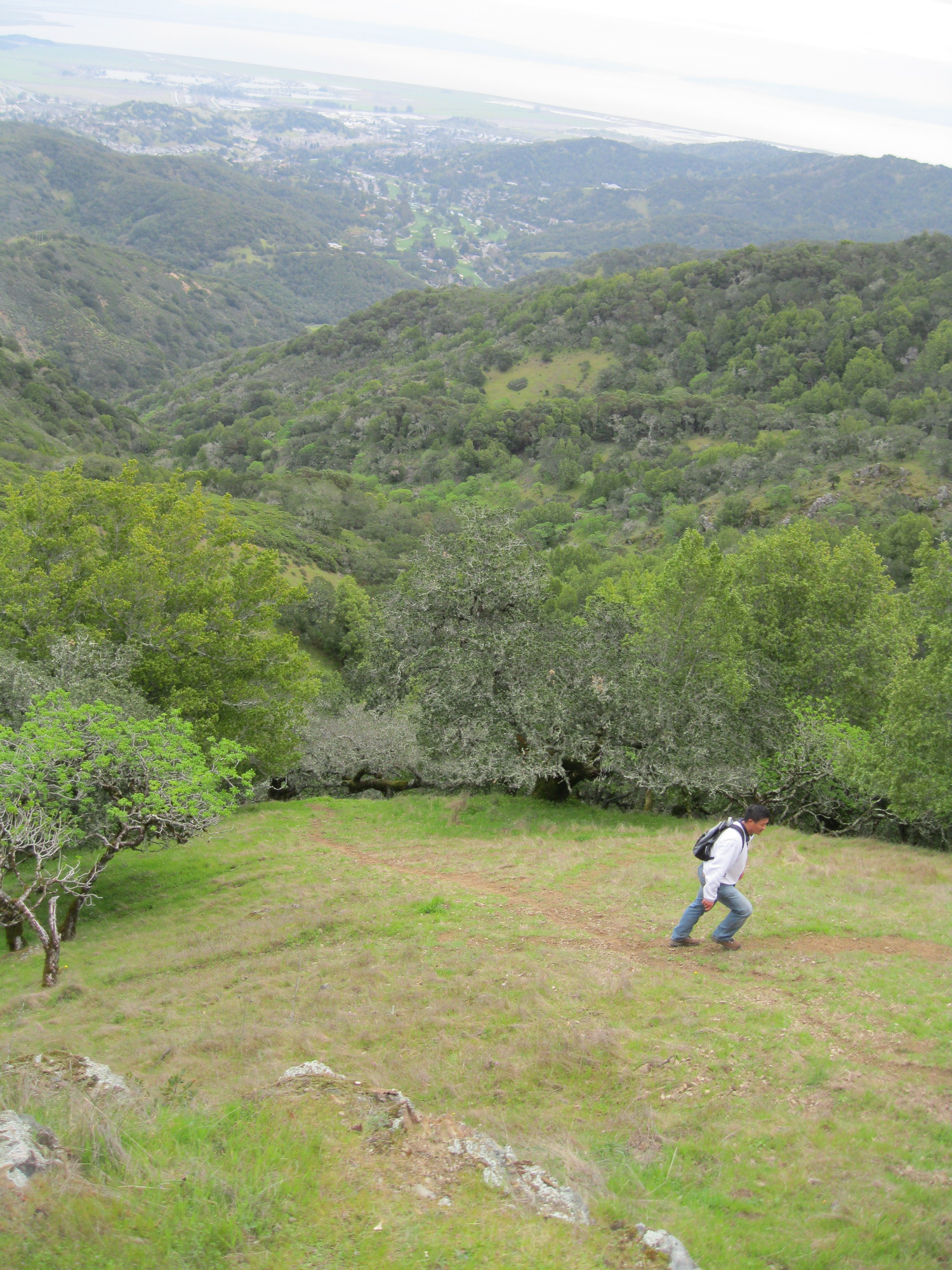
Descending along the northwest ridge of Maguire Peak: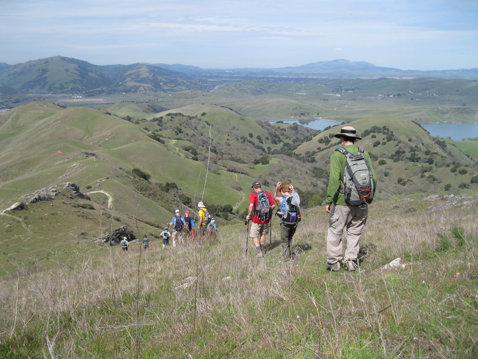
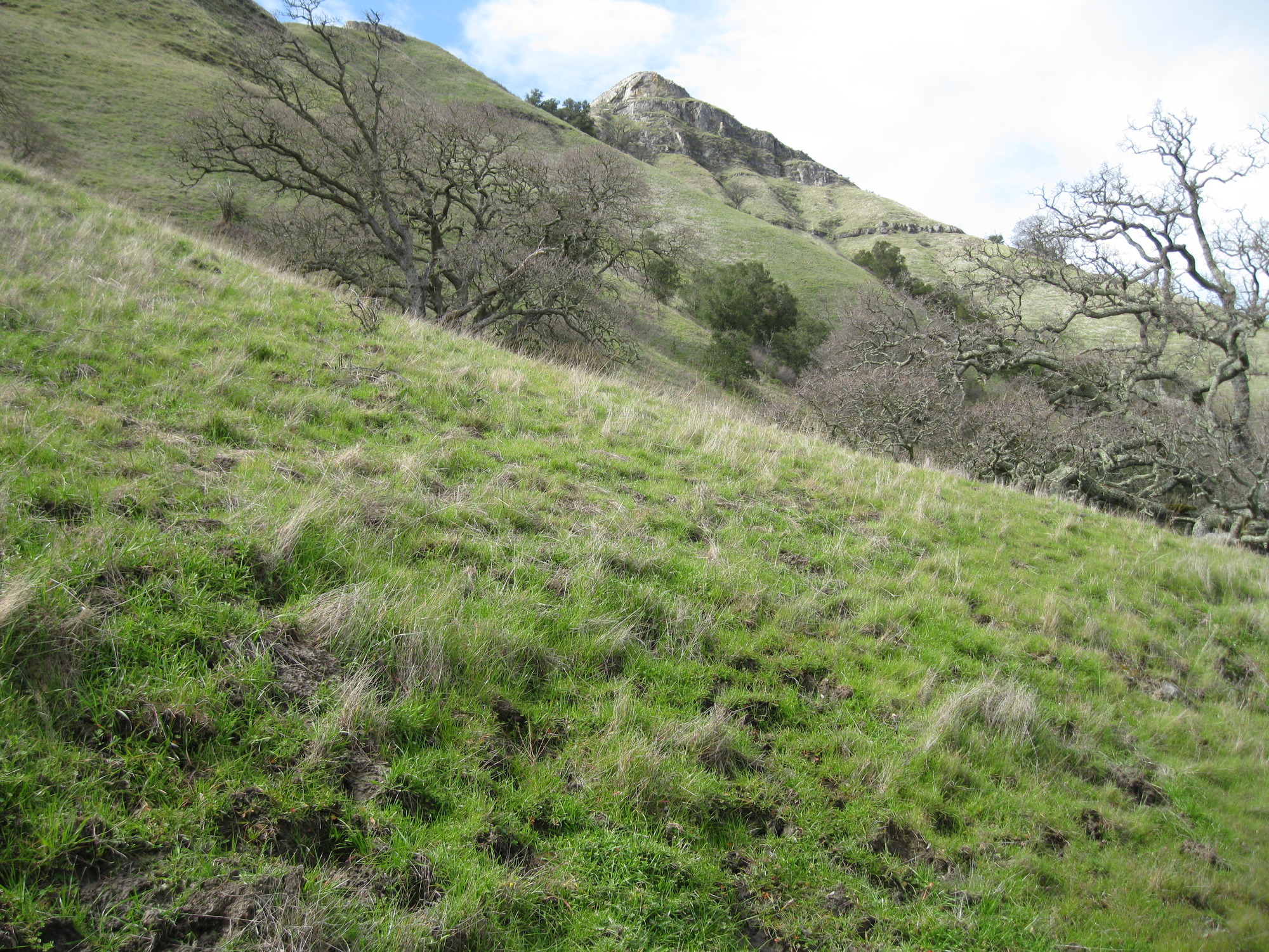
the east side of Maguire Peaks:
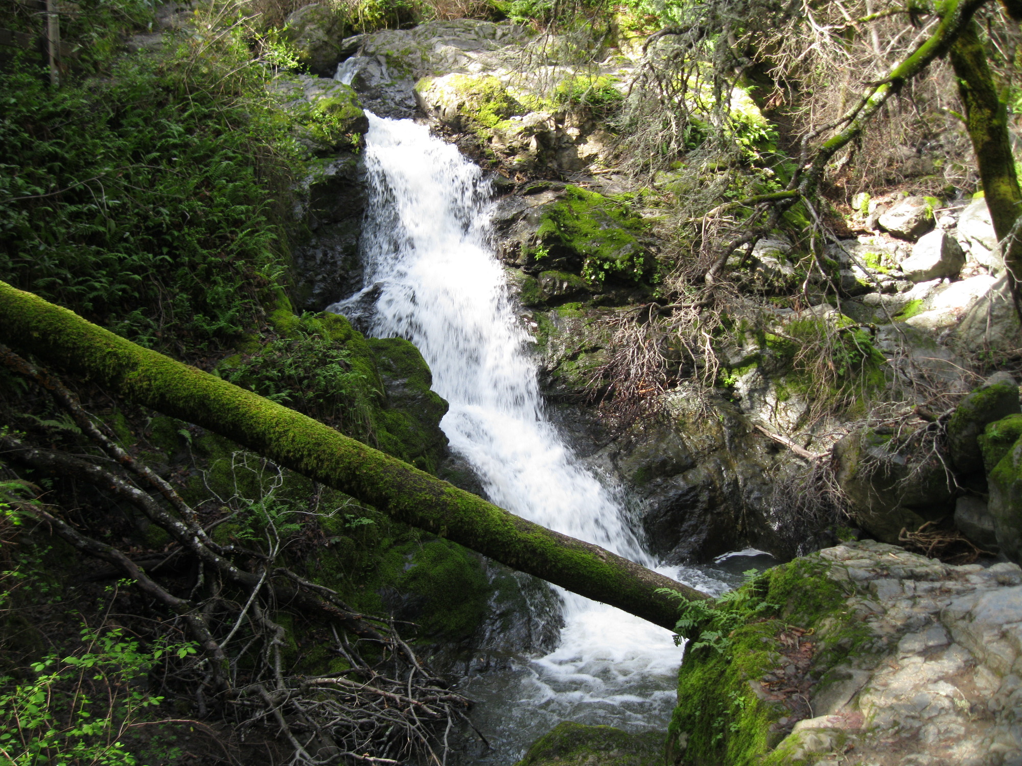
waterfall below Welch Creek Rd:


Rodeo Beach / Tennesse Point, March 6
the top of a waterfall near Tennesse Point:
strange structure a little farther upstream:

the lower part of the waterfall, seen from another cliff:


a view back toward Rodeo Beach:

Cascade Canyon, March 7
Cascade Falls:
a small cascade a bit upstream:

a small waterfall farther up Cascade Creek:


another cascade farther upstream:

another cascade farther upstream:

waterfall on stream running south from White Hill:

the upper part:
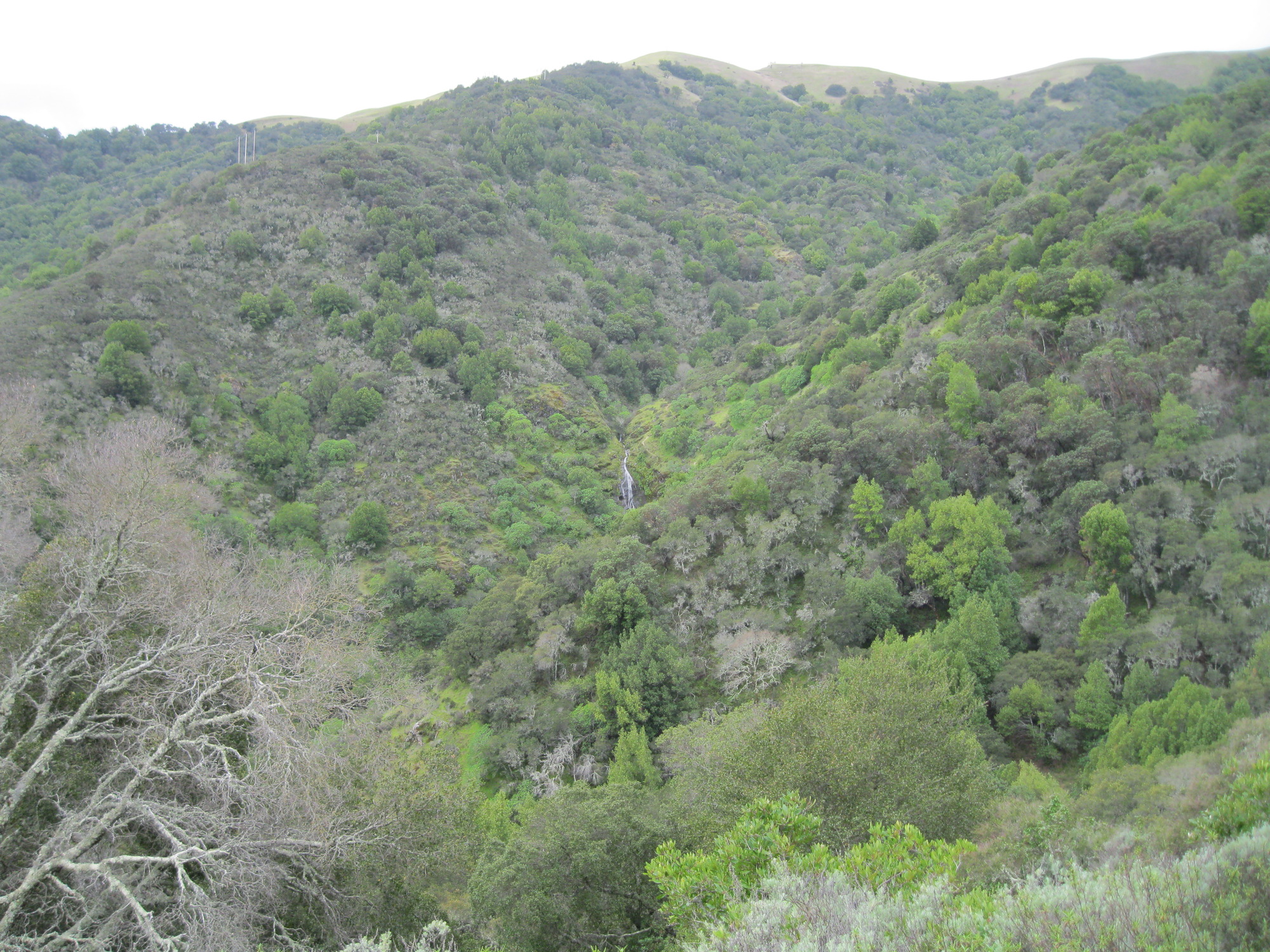
view of the Inkwell from a hill northeast of it:

a tall but unimpressive waterfall a bit north of the Inkwell:


waterfall in the main stream heading south from the intersection of the White Hill Fire Rd and the Blue Ridge Fire Rd:

a little farther north:


a little farther west:

the Inkwell:
view of the tallest waterfall from the south side of the canyon:
Mt Diablo - Devil's Slide, March 10
waterfall on north end of Black Hawk Ridge Rd:

waterfall below Trail Through Time:


view from the top:
an old dam:


Sycamore Canyon Falls:


Cascade Canyon and White Hill, March 12 with the SF Hiking Club
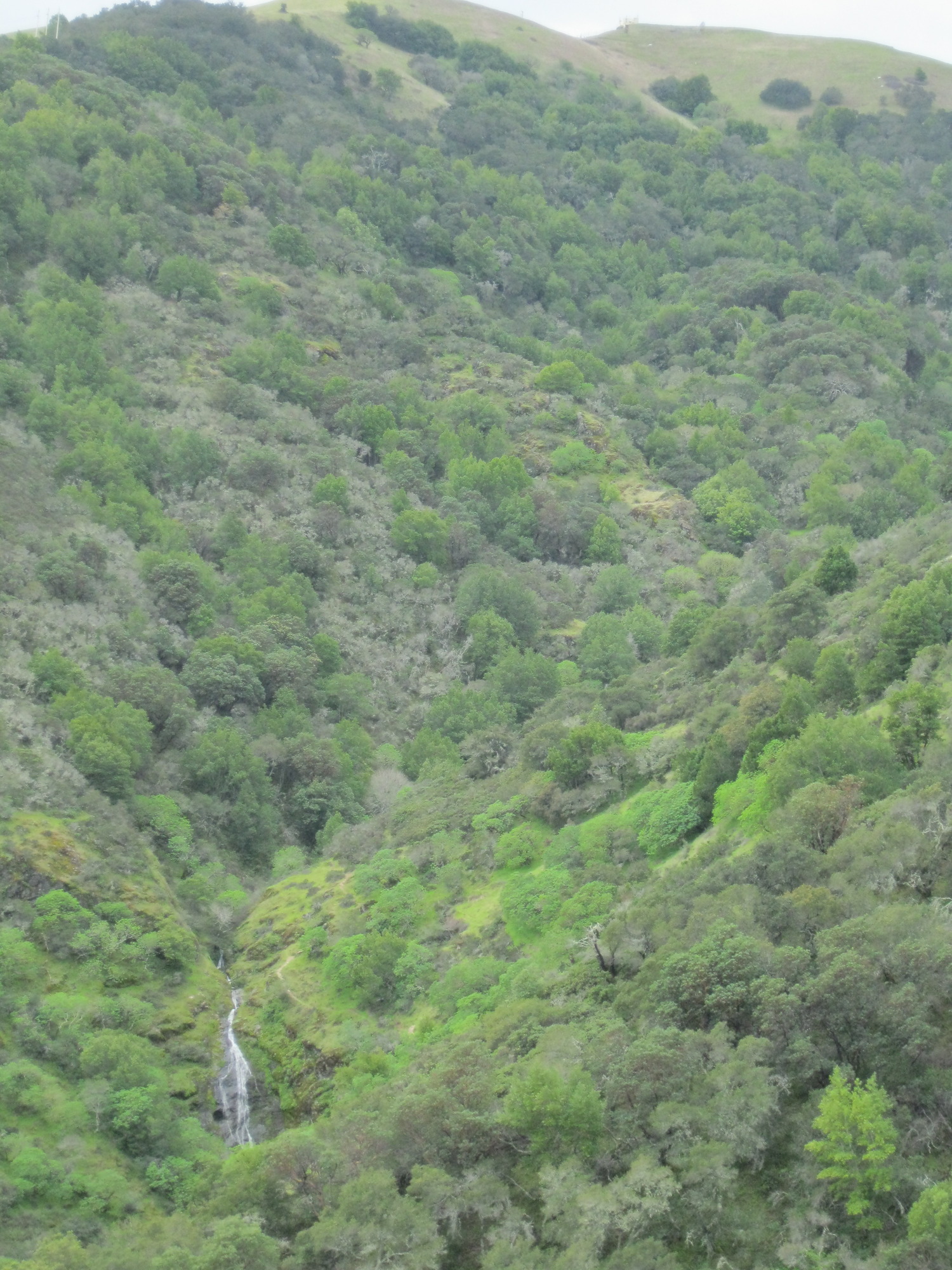
The Inkwell from the hill above:
lunch:


Arroyo de San Jose and Big Rock Ridge, March 13
not quite a waterfall:
small waterfall:


First fall, Arroyo de San Jose:

Second fall, Arroyo de San Jose:


Third fall, Arroyo de San Jose:


Fourth fall, Arroyo de San Jose:


some cascades at the top of the fourth fall that aren't visible from below:


Fifth fall, Arroyo de San Jose:


not quite a waterfall:

looking down from the upper part of the trail along Arroyo de San Jose:
view of the fourth fall from a ridge 1/4 mile north:

Lucas Valley Open Space Preserve, March 14
waterfall that is partly visible from Lucas Valley Rd:


small waterfall:

a 30 foot waterfall with two streams merging halfway down:

a 10+ foot waterfall northeast of previous one:


a 14+ foot waterfall farther upstream:


a 20+ foot waterfall farther upstream:


another waterfall farther upstream:


another waterfall farther upstream (a short distance south/southwest of the Big Rock Ridge summit):

going down a creek starting 1/4 mile west of the Big Rock Ridge summit, a 7 foot waterfall:


a 35(?) foot waterfall, upper half:

the lower half:

most of it:

a 10+ foot waterfall:

Lucas Valley Open Space Preserve, March 16
waterfall that is mostly visible from Lucas Valley Rd, west of Big Rock:


50 foot waterfall partly visible from Lucas Valley Rd just west of the prior one:

the middle part of the waterfall:


the lower part, not visible in other pictures:

30 foot waterfall 1/2 mile east of Big Rock, upper half:

the lower half:

a 20 foot waterfall a short distance east:

a 45 foot waterfall farther east:


the lower part:

upper parts:


30 to 65 foot waterfall on west side of ridge, main drop:


the lower part:

a 12 foot waterfall on the east side of the ridge:


a 7 foot waterfall downstream:

a 50+ foot waterfall 1/2 mile south of the east tower on the Big Rock Ridge summit:


the upper drop (barely visible in any of the other photos), seen from a few feet away from the top of the largest drop:

a ways upstream: a series of cascades, arguably a 20 foot waterfall:

a small waterfall on a side stream:

a 12+ foot waterfall farther upstream:


looking down from the top:

from the ridge just south of the summit, waterfalls in the distance on each side:

Murietta Falls, March 19 with the Wildcat Adventure Club
Johnny's Pond:
an 8 foot waterfall on a side stream west of Murietta Falls:


Murietta Falls:


Mt Diablo State Park, March 20
Two 30 foot waterfalls seen from the ridge on the west side of Mt. Olympia:

Approaching the first of the waterfalls from the prior photos (Wild Oat Falls):

I stumbled on another 40+ foot waterfall (or two 15 foot waterfalls?) on the way:


at Wild Oat Falls:


Both falls visible in this photo:

better shot of the 40 foot(?) waterfall from a bit farther away:
from the next ridge, a glimpse of the second 30 foot waterfall that was previously seen from the ridge off of Mt Olympia:

the next creek:

I think there's a 10 foot waterfall hiding near the tree trunk:

back up to the 13+ foot waterfall:


looking down the canyon:

farther upstream:


upper part of the next creek:

finally a close-up of the 30 foot waterfall:


view of the quasi-waterfall just downstream (the 30 foot waterfall is hiding in the cliff to the right of the visible part of the creek:

small waterfalls on 4 more creeks:


view from Meridian Ridge Rd of Wild Oat Falls and Donner Creek Fall #3 (hampered by light rain)
Eagle Peak and waterfalls on two creeks flowing down from it:

closer view of the larger creek, more than one waterfall visible:

Castle Rock State Park, March 22
on a creek south of Castle Rock, a 6 foot waterfall:
on a side stream, an 8 foot waterfall:

a 9+ foot waterfall:
 ?60
?60
a 12 foot waterfall:

rock outcrop near falls:

Castle Rock Falls:


lower half:

Going downstream, pieces of a 120+ foot falls, top to bottom (steep terrain, no obvious way to see more than about half the falls at one time):


a bit farther down, a 10 foot waterfall:


a bit farther down, a 30(?) foot waterfall:

a ways farther down, a 20 foot waterfall:


returning up, parts of the 120+ foot waterfall from the other side:


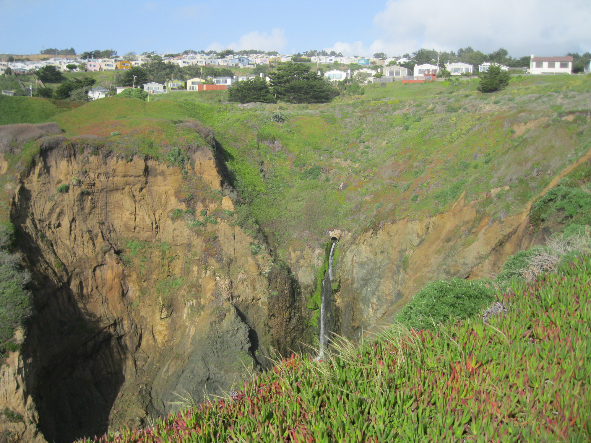
Pacifica, March 23
The Secret Waterfall:
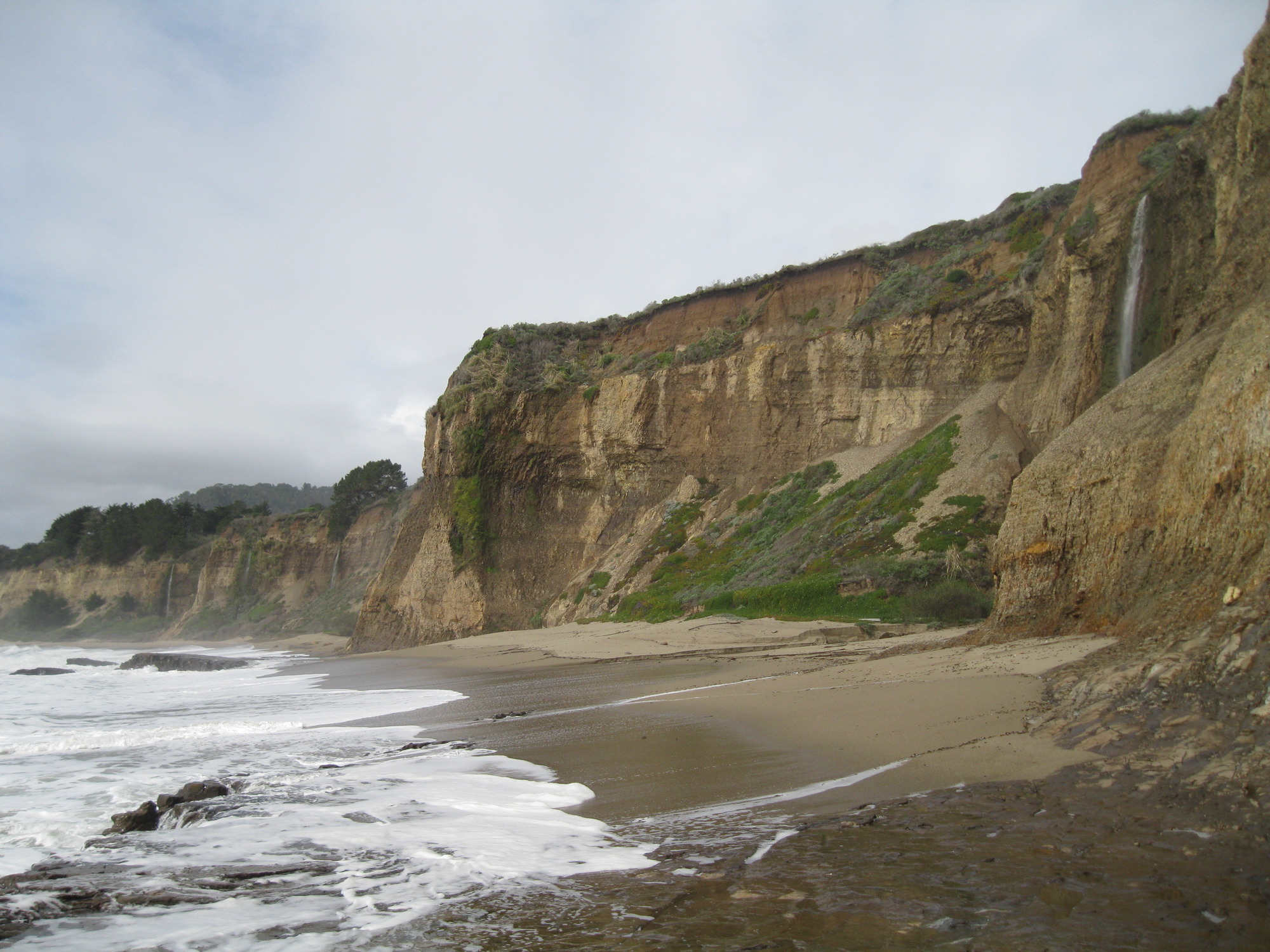
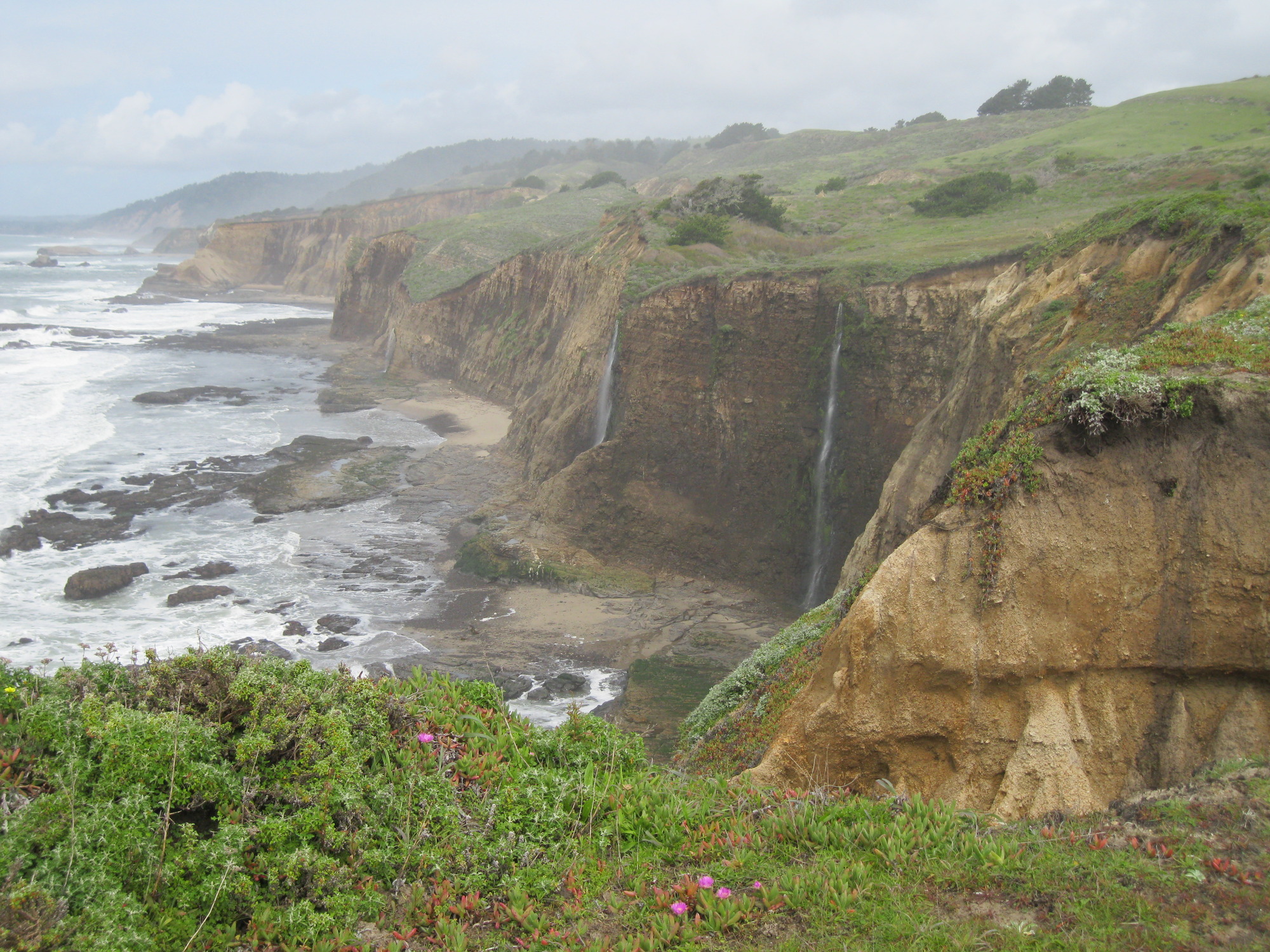
San Mateo Coast south to Greyhound Rock, March 25:
A 7 foot waterfall at the north end of Bean Hollow:
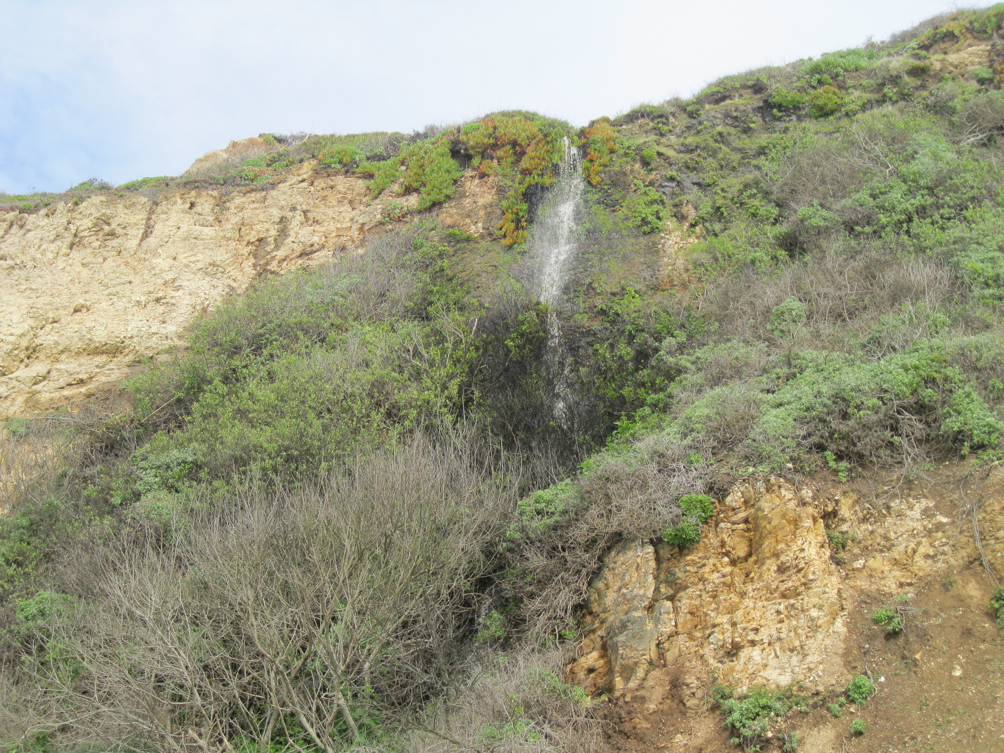
a 9 foot waterfall on New Years Creek in Ano Nuevo:


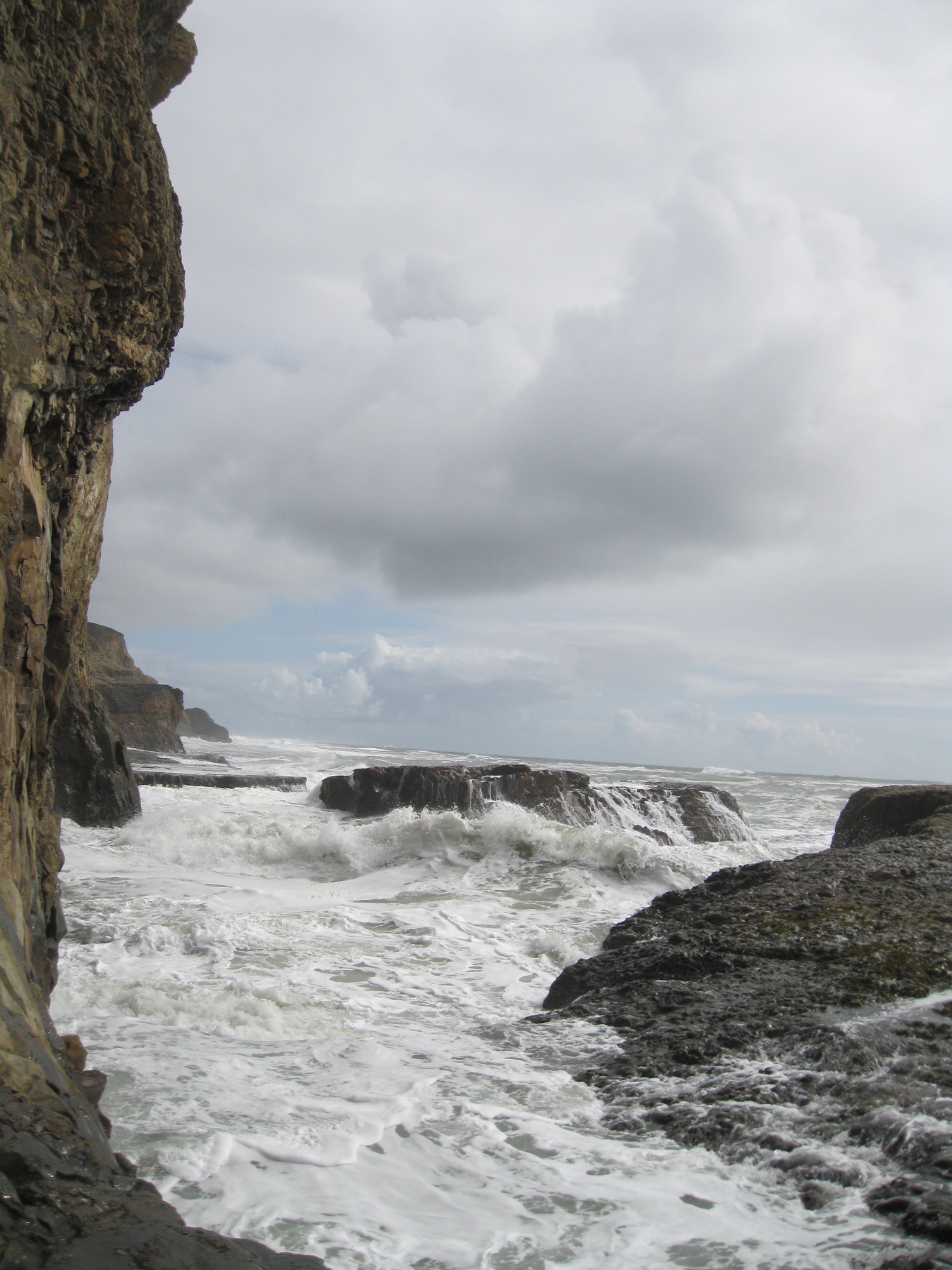
an arch a little farther up the beach:

Waterfalls along the road just past the Santa Cruz county line:


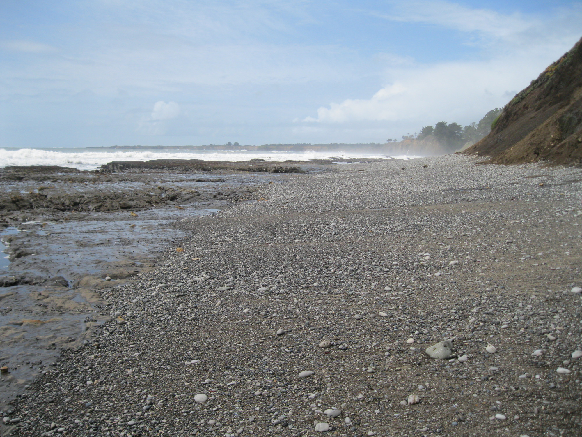
A 14 foot waterfall on the beach near the county line:


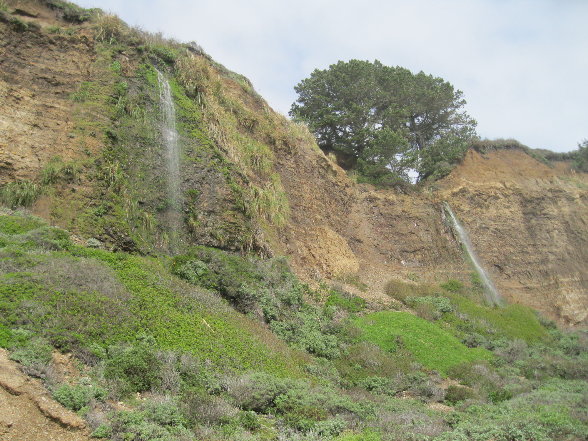
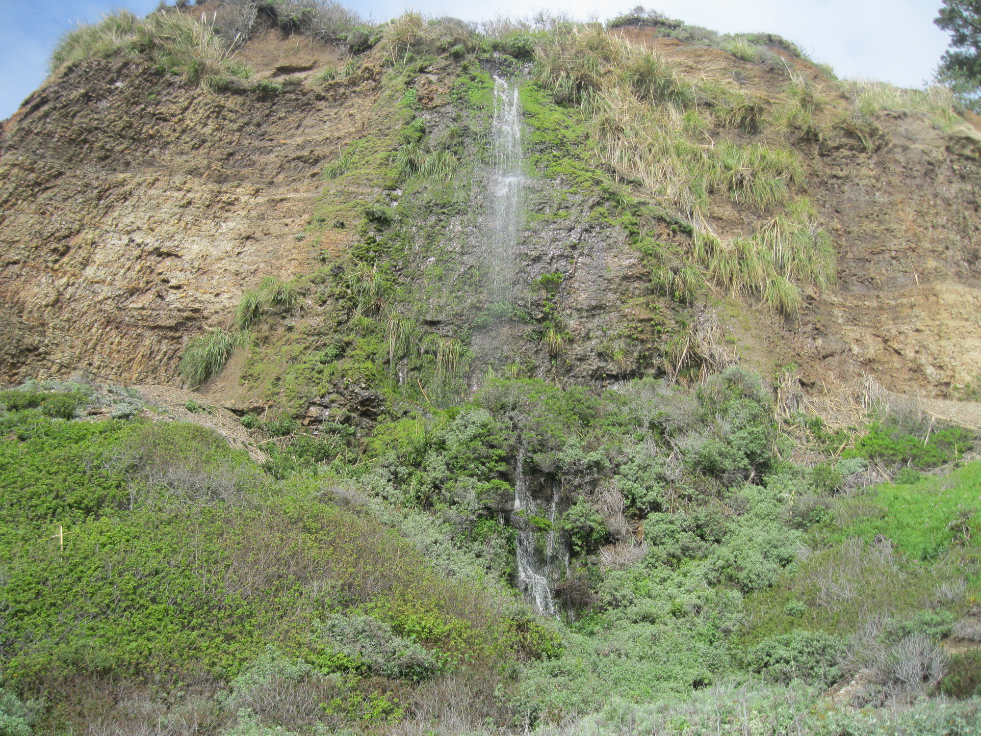
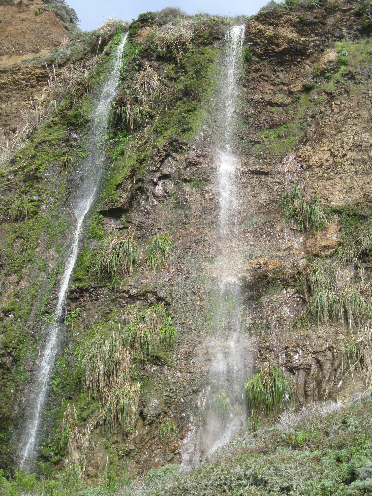
farther north, a 25+ foot waterfall on Elliot Creek:


farther north, a 20(?) foot waterfall on Finney Creek:

another waterfall seen from route 1:

Greyhound Rock County Park:


looking around the point:
heading back:
waterfalls to the north of the rock:


looking south to Greyhound Rock:

Berkeley: John Hinkel Park, March 26:

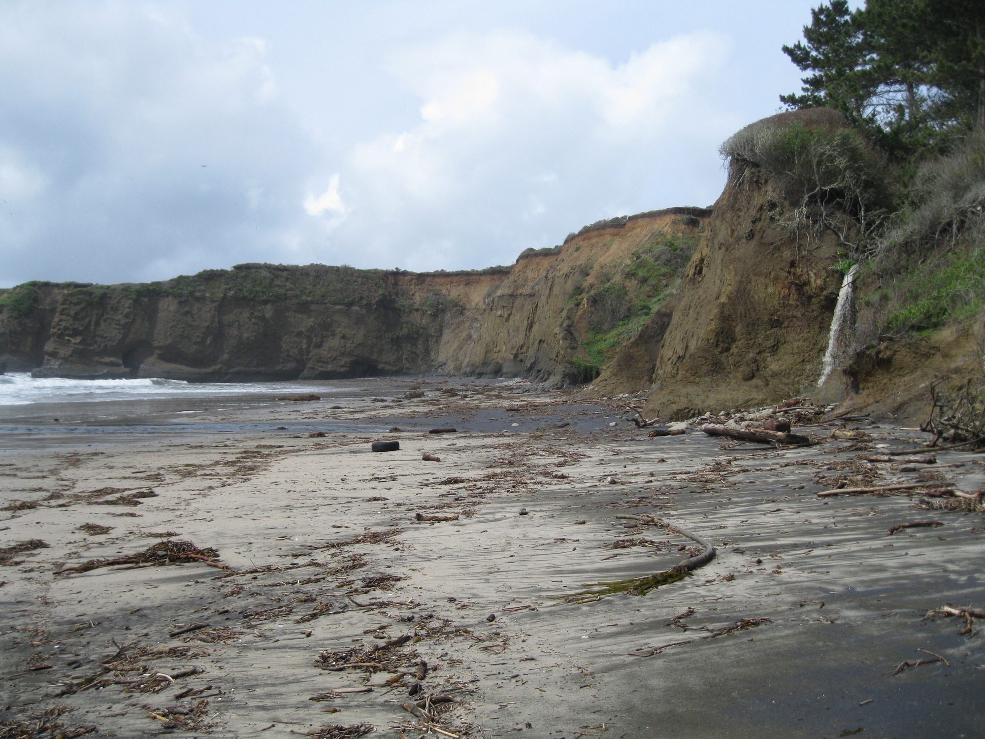
Santa Cruz Coast, Waddell Beach to Davenport, March 27:
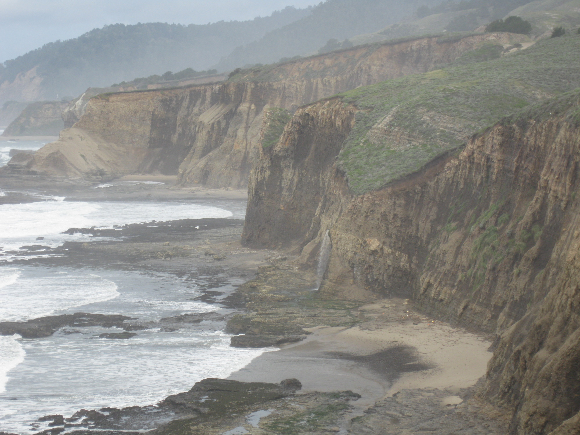
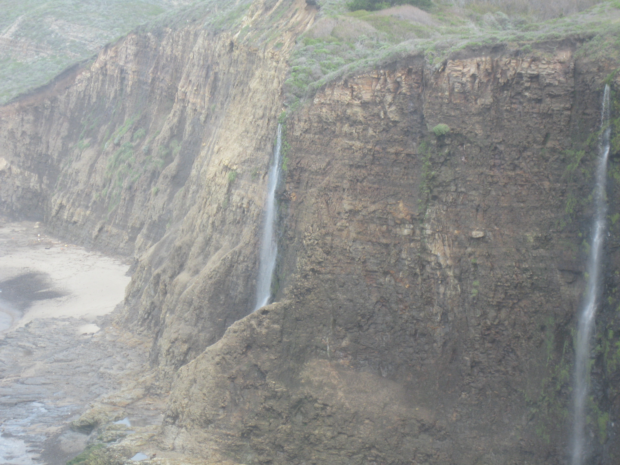
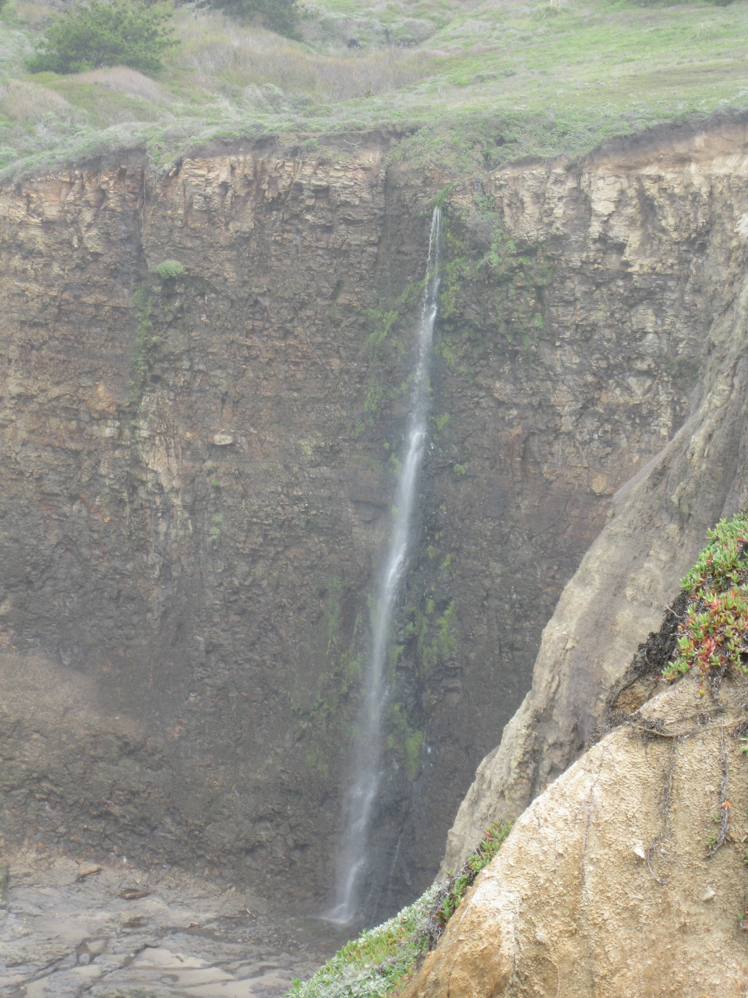
North of Greyhound Rock, and 18 foot waterfall:


heading south, a 30+ foot waterfall:

a waterfall seen on Friday:

near the road a couple of miles south, an arch:

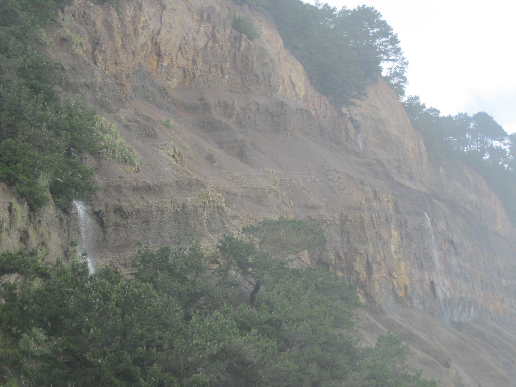
3 waterfalls seen from a vista point farther south:
a waterfall with little water:

parts of two more waterfalls:

a closer view of the larger one:

back at Greyhound Rock, a view of the waterfalls from atop the rock:


a waterfall a bit north of Scott's Creek:

looking south from a point just south of Davenport Landing beach:

near the railroad crossing in Davenport, a waterfall comes out of the side of a cliff:

