Weasel River Valley, Auyuittuq National Park, Baffin Island with the Sierra Club, 1972
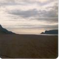
I think this photo is just over the hill from the main airport in the southern part
of Baffin Island (a town that was called Frobisher Bay at the time, but which I think
is now called by an Inuit name), about where we camped for the night while waiting for
a plane:
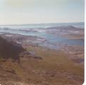
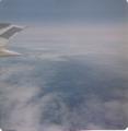
Views from the plane between Frobisher Bay and Pangnirtung:

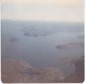
View north from Pangnirtung:
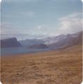
In a motorized boat a bit larger than a canoe heading up the fjord from Pangnirtung to the trailhead:

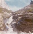
An antler from a Barren Ground Caribou (Rangifer arcticus; not the more common species of Caribou found in southern Canada and Alaska), with some Willow "bushes" below it (there were
many species of Willow here, few of them growing this tall):
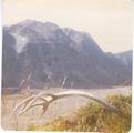
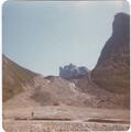
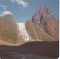
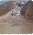
The morraine around Crater Lake:
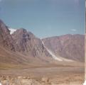
Views of Crater Lake:
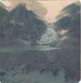
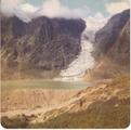
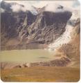
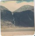
Looking northeast near the base of Thor Peak (on the right). If you look closely,
you can see the tip of Fork Beard Glacier on the right at the far end of Thor Peak,
with a waterfall coming out of it:
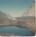
Looking west from a spot near where the previous photo was taken:
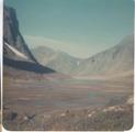
Thor Peak from the west:
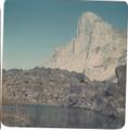
Looking south at Thor:
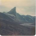
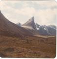
A closeup of Fork Beard Glacier:
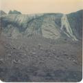
Turner Glacier(?) from Mount Battle:

Southern half of Summit Lake from Mount Battle:
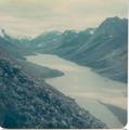
Rundle Glacier(?):
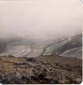
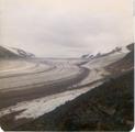
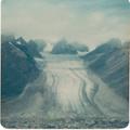
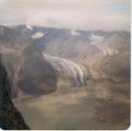
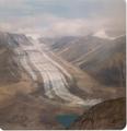
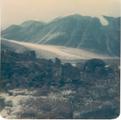
Owl river valley, with the tip of Rundle Glacier on the lower right:

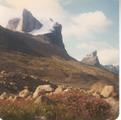
View southwest from near Summit Lake, with Thor Peak on the right, and Fireweed
(Epilobium latifolium) blooming in the foreground:
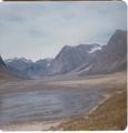
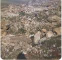
The head of the fjord at low tide:
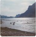
Back in Pangnirtung, looking out the fjord from the middle of the runway:
