Waterfalls around Mt. Tamalpais
The area from Mill Valley and Muir Beach north to Fairfax and west to Kent Lake. The Tom Harrison map for Mt. Tam covers most of it, with small parts shown on his Pine Mountain map.
Only the best waterfalls in this region are listed on this page. See the complete list.
Cascade Canyon Open Space Preserve
Cascade Creek
- waterfall at (37.98433, -122.62189):
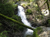
Name: Cascade Falls
taken 2019-02-14:

 taken 2011-03-07:
Videos:
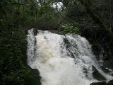
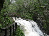
Beauty: 7
Duration: 75 days after a significant rainfall
Height 17 feet (broadly defined)
Height 14 feet
Biggest vertical drop 4 feet
Terrain: well-maintained trail
route: Follow the creek up from the end of Cascade Drive. Parking is limited near the end of the road, but plentiful at the start of Cascade Drive.
Last visited 2019-02-14
id: tam.12
Marin Municipal Water District
Cataract Creek
- waterfall at (37.93248, -122.63575):
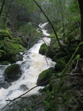
Name: Cataract Falls
Poor gps reception - coordinates may be unreliable
taken 2012-03-25:

Videos:
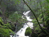
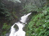
labeled Fall #1 by waterfallswest.com
Beauty: 8
Duration: 365 days after a significant rainfall
Height 72 feet
Terrain: well-maintained trail
For more info, see:
http://www.waterfallswest.com/waterfall.php?id=256
Last visited 2012-03-25
id: tam.25
- waterfall at (37.932, -122.63575):
Name: Cataract Falls
Poor gps reception - coordinates may be unreliable
taken 2012-03-25:
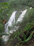
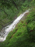
Videos:
labeled Fall #2 by waterfallswest.com
Beauty: 9.5
Duration: 365 days after a significant rainfall
Height 59 feet
Terrain: well-maintained trail
For more info, see:
http://www.waterfallswest.com/waterfall.php?id=256
Last visited 2012-03-25
id: tam.26
- waterfall at (37.9315, -122.63575):
Name: Cataract Falls
Poor gps reception - coordinates may be unreliable
taken 2012-03-25:
Video:
labeled Fall #3 by waterfallswest.com
Beauty: 9.5
Duration: 365 days after a significant rainfall
Height 65 feet
Terrain: well-maintained trail
For more info, see:
http://www.waterfallswest.com/waterfall.php?id=256
Last visited 2012-03-25
id: tam.27
- waterfall at (37.93080, -122.63540):
Name: Cataract Falls
Poor gps reception - coordinates may be unreliable
taken 2012-03-25:
Video:
labeled Fall #4 by waterfallswest.com
Beauty: 9.5
Duration: 365 days after a significant rainfall
Height 36 feet
Terrain: well-maintained trail
For more info, see:
http://www.waterfallswest.com/waterfall.php?id=256
Last visited 2012-03-25
id: tam.28
- waterfall at (37.9254, -122.6335):
Poor gps reception - coordinates may be unreliable
taken 2012-03-25:
 taken 2011-04-03:
Video:
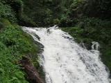
labeled Fall #7 by waterfallswest.com
Beauty: 8.5
Duration: 365 days after a significant rainfall
Height 29 feet
Terrain: well-maintained trail
For more info, see:
http://www.waterfallswest.com/waterfall.php?id=256
Last visited 2012-03-25
id: tam.30
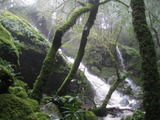
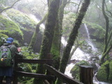
- waterfall at (37.92416, -122.62906):
gps coordinates estimated from map, reliability unknown
taken 2012-03-25:
Video:

labeled Fall #9 by waterfallswest.com
Beauty: 8.5
Duration: 365 days after a significant rainfall
Height 44 feet
Terrain: well-maintained trail
For more info, see:
http://www.waterfallswest.com/waterfall.php?id=256
Last visited 2012-03-25
id: tam.31
Little Carson Creek
Unnamed creek flowing south from the north end of Pine Mountain Road to Big Carson Creek
- waterfall at (37.99282, -122.66715):
Name: Big Carson Creek Falls
taken 2011-04-14:
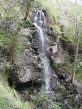
upper drop (not visible at the main drop):
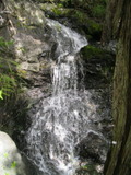
Video:
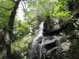
Best seen from the west side.
Beauty: 8
Duration: 30 days after a significant rainfall
Height 38 feet (broadly defined)
Height 25 feet
Biggest vertical drop 25 feet
Number of drops 1
Terrain: vague hints of a trail
route: From Big Carson Ridge, follow Pine Mountain Road southeast. About 1/3 mile before it crosses Big Carson Creek, follow the west side of a small stream down until it gets steep approaching Big Carson Creek, then traverse west about 0.1 mile, descending to Big Carson Creek as you approach the larger side creek. (There's probably a better route that I didn't find.) You could also follow Pine Mountain Road along the south side of Big Carson Creek and head north - that means a less hiking off-trail, but with a much steeper section just as you reach the south side of the creek.
Last visited 2011-04-14
id: tam.20
Cascade Creek
- waterfall at (37.98898, -122.63216):
Name: The Inkwell
taken 2011-03-07:
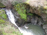
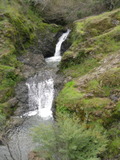
from a hill to the northeast:
 taken 2012-05-28:

A good place to swim in late spring.
Beauty: 8
Duration: 60 days after a significant rainfall
Height 19 feet give or take 3 feet
Biggest vertical drop 3 feet
Number of drops 2
Terrain: unofficial trail, some difficulties
route: There are two trails down to it from the White Hill Fire Rd (you may need to look carefully to see where they start). There is also a trail to it that starts near the bottom of the Cascade Canyon Rd (also known as the Repack Rd) just above where it meets San Anselmo Creek - stay right on any intersection. Many people get to this waterfall by continuing up from the top of Cascade Falls, but that's harder.
Last visited 2012-05-28
id: tam.14
Unnamed creek running south from White Hill
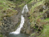
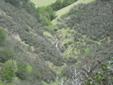
- waterfall on stream at (37.98886, -122.62863):
 taken 2011-03-07:
the upper part:
view from an unofficial trail 1/4 mile south:
The main drop is about 12 feet
Beauty: 8
Duration: 25 days after a significant rainfall
Height 80 feet (broadly defined)
Height 50 feet
Biggest vertical drop 2 feet
Number of drops 3
Terrain: vague hints of a trail
route: Descend from White Hill by following the ridge south from the summit and going down the west side after the fire road veers east (steep, grassy, no trail). There's a good trailhead for this on Sir Francis Drake Blvd near the top of the big hill west of Fairfax. A shorter (but not easier) route is to follow a crude trail upstream from Cascade Falls for at least 1/3 mile, and look for a trail going up the largest side stream. Note that this involves a somewhat tricky creek crossing at the top of Cascade Falls, and the parking near the end of Cascade Drive is very limited.
Last visited 2011-03-07
id: tam.7
- waterfall at (37.98808, -122.62918):

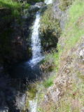
Beauty: 8
Duration: 25 days after a significant rainfall
Height 26 feet (broadly defined)
Height 12 feet
Biggest vertical drop 6 feet
Terrain: vague hints of a trail
route: just downstream from the prior one
id: tam.8
Unnamed creek flowing northeast into San Anselmo Creek west of Happersberger Point
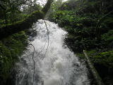
- waterfall at (37.979689, -122.629296):
taken 2019-02-14:


Videos:
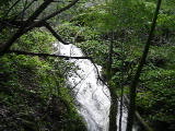
Beauty: 7
Duration: 21 days after a significant rainfall
Height 22 feet
Biggest vertical drop 2 feet
Terrain: unofficial trail, some difficulties
route: Follow the official San Anselmo Creek trail to the end, then find paths of varying quality that continue in that direction. About 100 feet downstream of where this creek meets San Anselmo Creek, there's a fairly well-travelled path that heads up from San Anselmo Creek straight to the waterfall. Note that in order to catch it at the flood-stage levels shown here, I needed to wade through foot-deep waters where the official trail crosses San Anselmo Creek. That required careful attention. I looked around for alternative crossings, but none looked better.
Last visited 2015-02-28
id: tam.75
West Fork Lagunitas Creek
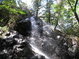
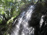
- waterfall at (37.93732, -122.59946):
taken 2016-03-19:


Videos:
Beauty: 7
Duration: 365 days after a significant rainfall
Height 35 feet give or take 3 feet
Biggest vertical drop 6 feet
Number of drops 1
Terrain: unofficial trail, some difficulties
route: The simplest route is to follow the creek upstream from Lake Lagunitas. I initially got there by following the Four Canyons "trail", which is not at all obvious. You will probably need to use the gpx file below to find it. There's a recently fallen Madrone blocking the place where it starts west from the Colier Spring Trail.
route: download gpx
Last visited 2016-03-19
id: tam.23
Unnamed creek flowing north into Bill Williams Creek
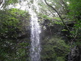
- waterfall at (37.936579, -122.567792):
taken 2018-03-23:


Videos:
Beauty: 7.5
Duration: 12 days after a significant rainfall
Height 24 feet
Biggest vertical drop 24 feet
Terrain: woods, little or no trail
route: From the Indian Fire Rd just north of the Blithesdale Ridge Rd, head west
Last visited 2018-03-23
id: tam.93
Baltimore Canyon Preserve
Larkspur Creek
- waterfall at (37.9385352, -122.5624777):
Name: Dawn Falls
coordinates taken from Google's location for this waterfall
taken 2014-03-30:


Video:
Beauty: 7.5
Duration: 20 days after a significant rainfall
Height 26 feet give or take 3 feet
Number of drops 1
Terrain: well-maintained trail
Last visited 2014-03-30
id: tam.35
Mt Tamalpais State Park
Kent Creek in Kent Canyon
- waterfall at (37.887904, -122.581756):
Name: Kent Falls
taken 2021-12-24:


Video:
Also known as Kent Canyon Falls. It's only worth noting due to the nice fern-covered logs and rock faces.
Beauty: 7.5
Duration: 100 days after a significant rainfall
Height 6 feet
Biggest vertical drop 5 feet
Number of drops 1
Terrain: vague hints of a trail
For more info, see Secret Waterfalls of Marin volume 2
route: Start on Kerri Lane. This looks like someone's driveway, but is public land used by rangers. When it ends at an abandoned shooting range, cross the creek and find a vague trail on the south side. The trail will leave the creek on remnants of a road that briefly ascends 100 feet above the creek. When you reach that part, turn back until you get near the creek, and follow the creek upstream, staying close to the creek.
Last visited 2021-12-24
id: tam.103
Golden Gate National Recreation Area
Morses Gulch Creek
- waterfall at (37.92283, -122.66334):
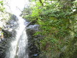
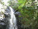
Name: Morses Gulch Falls
taken 2012-04-04:
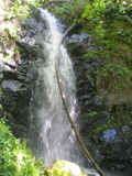
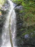 taken 2011-04-10:
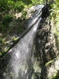

Videos:
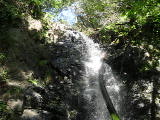
Beauty: 8.5
Duration: 365 days after a significant rainfall
Height 48 feet (broadly defined)
Height 42 feet give or take 2 feet
Biggest vertical drop 20 feet
Terrain: unofficial trail, some difficulties
route: Follow route 1 about 2.3 miles northwest of the stop sign in the town of Stinson Beach. Park in a small dirt turnout on the right (which looks almost like the start of a dirt road) just past the 14.86 mile marker. This is about a half mile past a more conspicuous pullout at the 14.41 mile marker. You can also watch for a driveway with a sign mentioning pottery that is on the right about halfway between the two pullouts. There's a trail that starts on the north side of the creek and follows the creek a half mile to the falls.
Update: as of 2021-05-31, the trail is open, but the start is getting harder to find. Parts of the trail are well maintained. There's a section near the falls which requires holding on to a rope.
Last visited 2011-04-10
id: tam.19
Unnamed creek flowing south into Morses Gulch about a half mile upstream from route 1
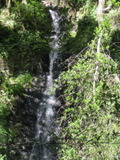
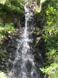
- waterfall at (37.92373, -122.66291):
taken 2012-04-04:
Video:
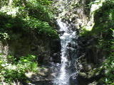
Beauty: 8
Duration: 90 days after a significant rainfall
Height 58 feet (broadly defined)
Height 49 feet
Biggest vertical drop 20 feet
Terrain: moderate brush, little or no trail
route: From Morses Gulch Falls, go upstream a short way and go a little way up the side creek on the left. I went up the hillside just above the lower falls, but I suspect it would be easier to stay in the creekbed.
Last visited 2011-04-10
id: tam.32
back to main waterfalls page

 taken 2011-03-07:


 taken 2011-04-03:





 taken 2012-05-28:
 taken 2011-03-07:


 taken 2011-04-10:


